Kent Map of trip
14th June 2015 Photos by Hetty
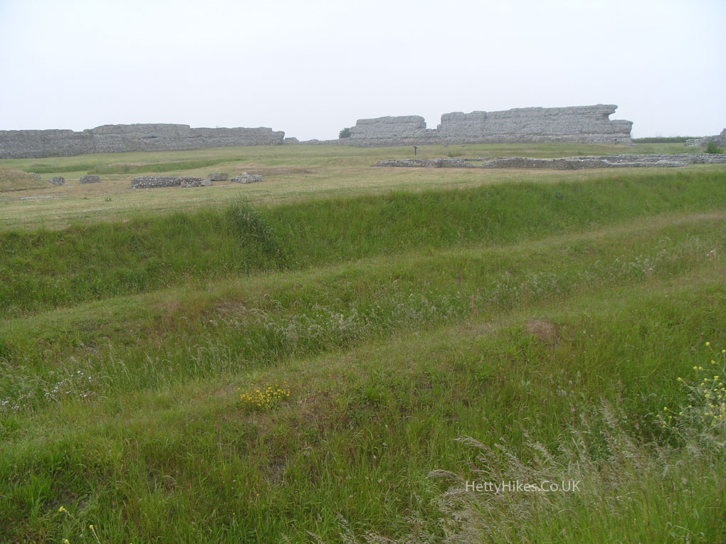
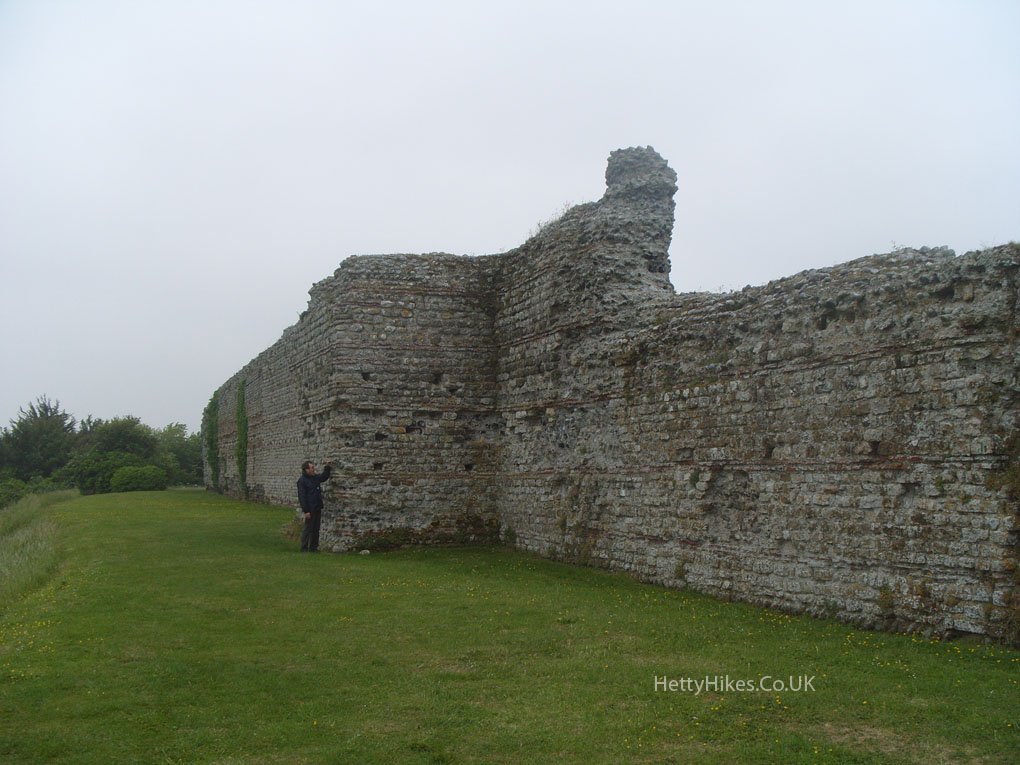
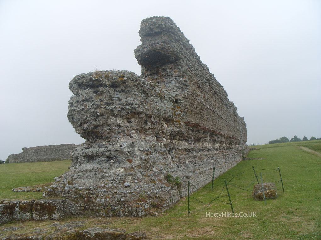
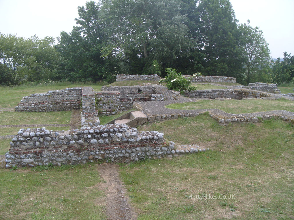
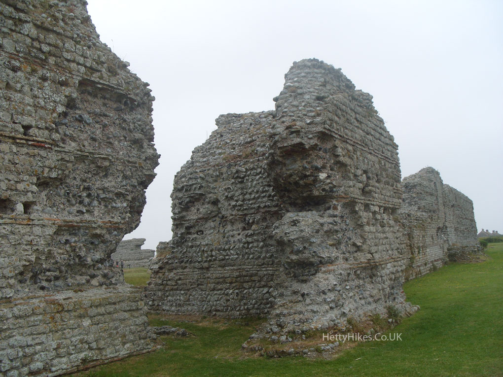
We parked at Richborough Roman Fort and then walked into Sandwich (2 miles)
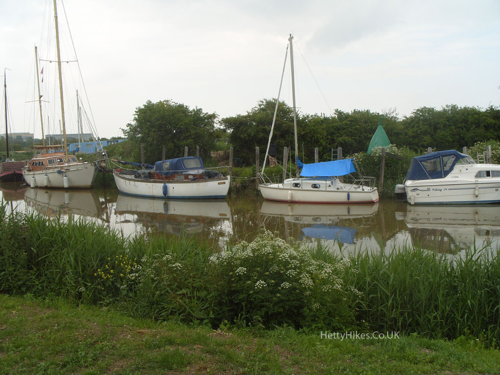
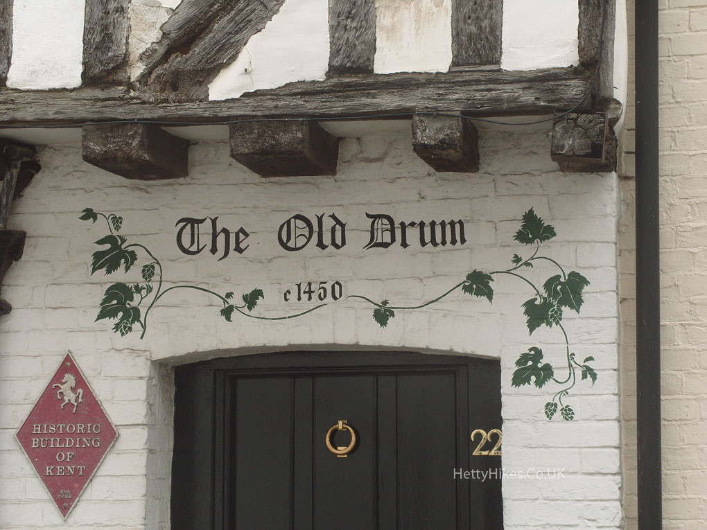
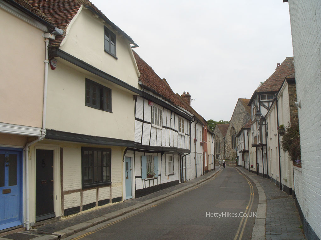
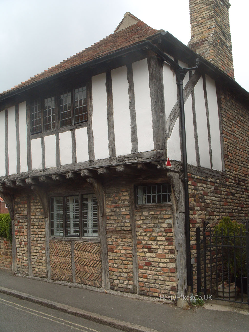
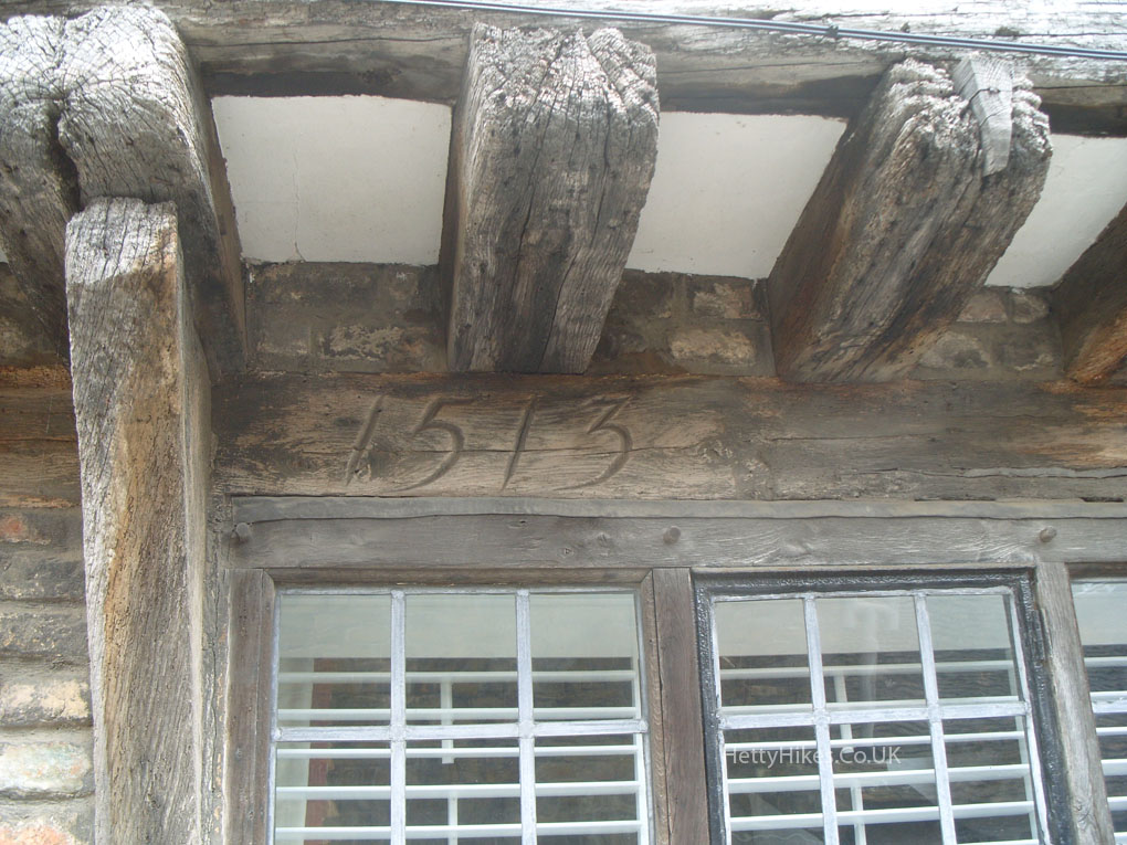
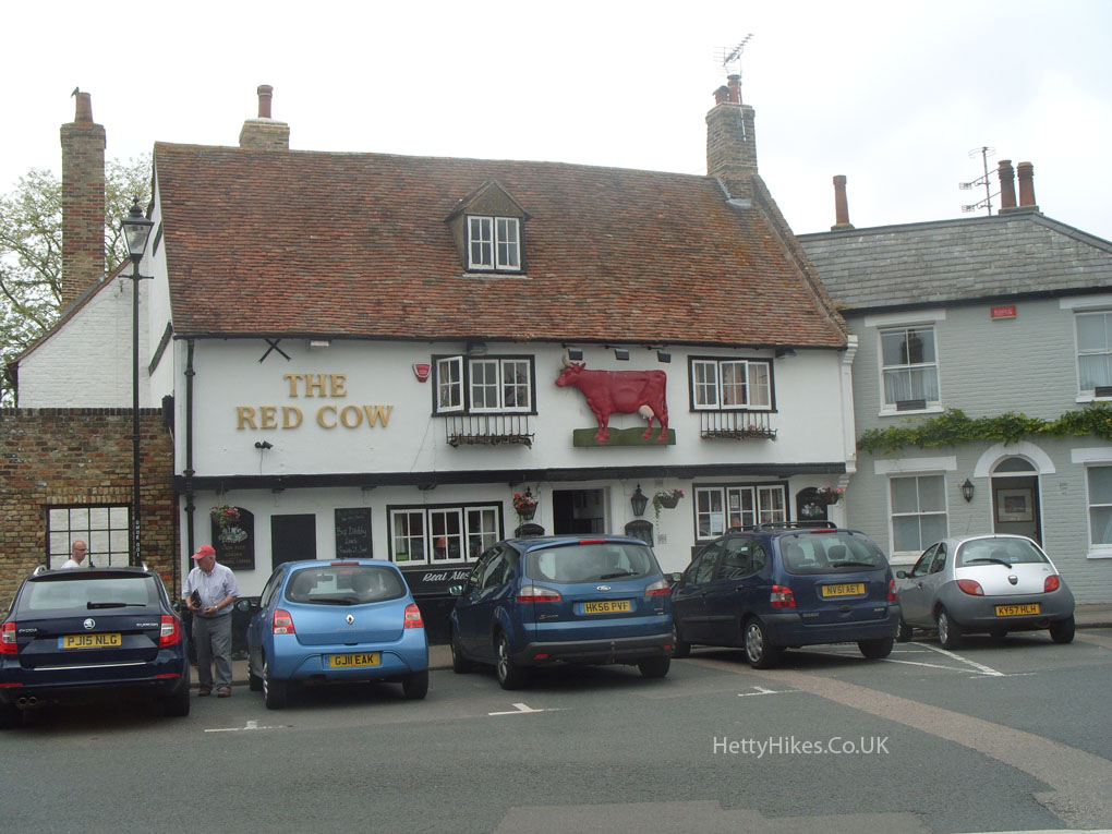
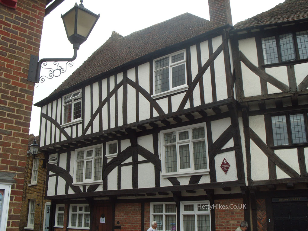
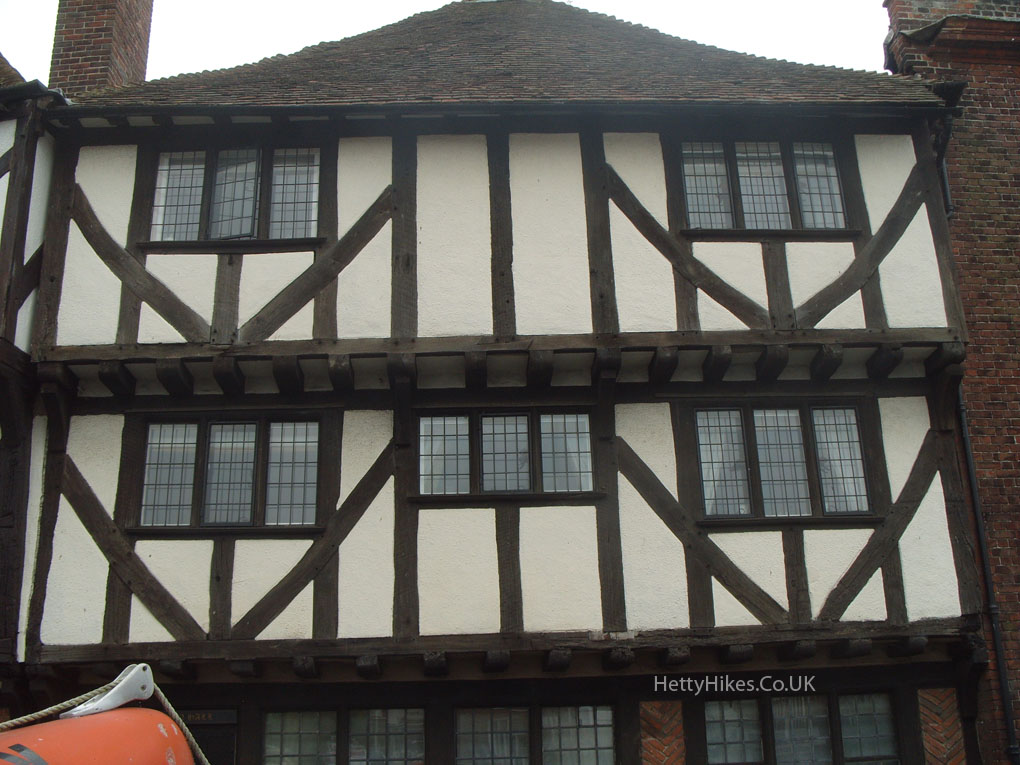
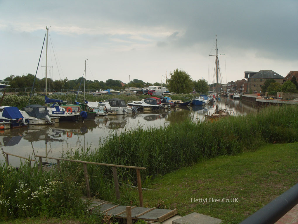 Sandwich is said to be England’s best-preserved medieval town, and was once a port.
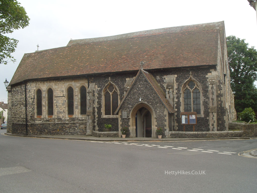
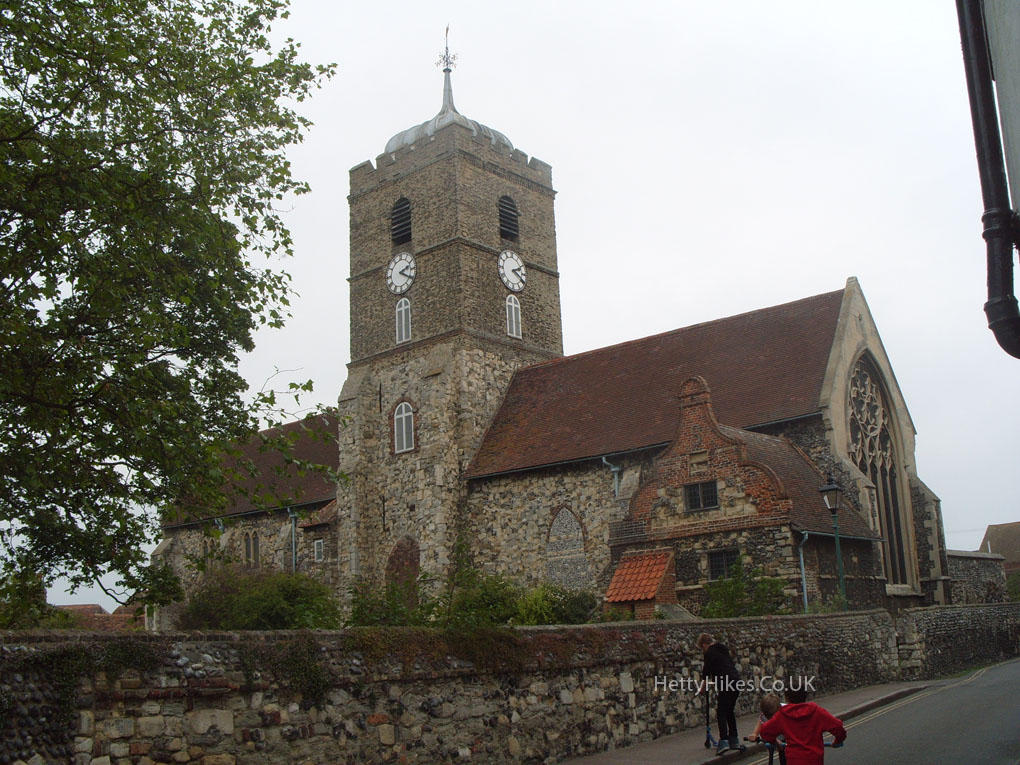
St Mary’s church dates from the 11th century. The tower collapsed in 1667, due to an earthquake in 1580 (when 165 ships sank in the English Channel)
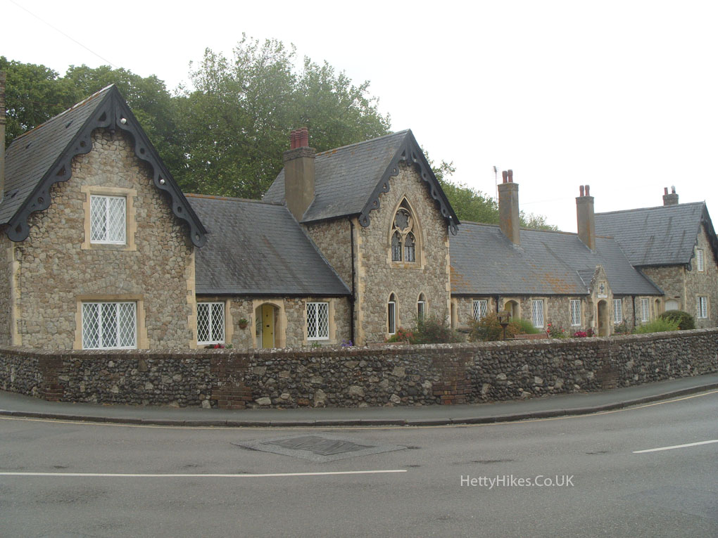
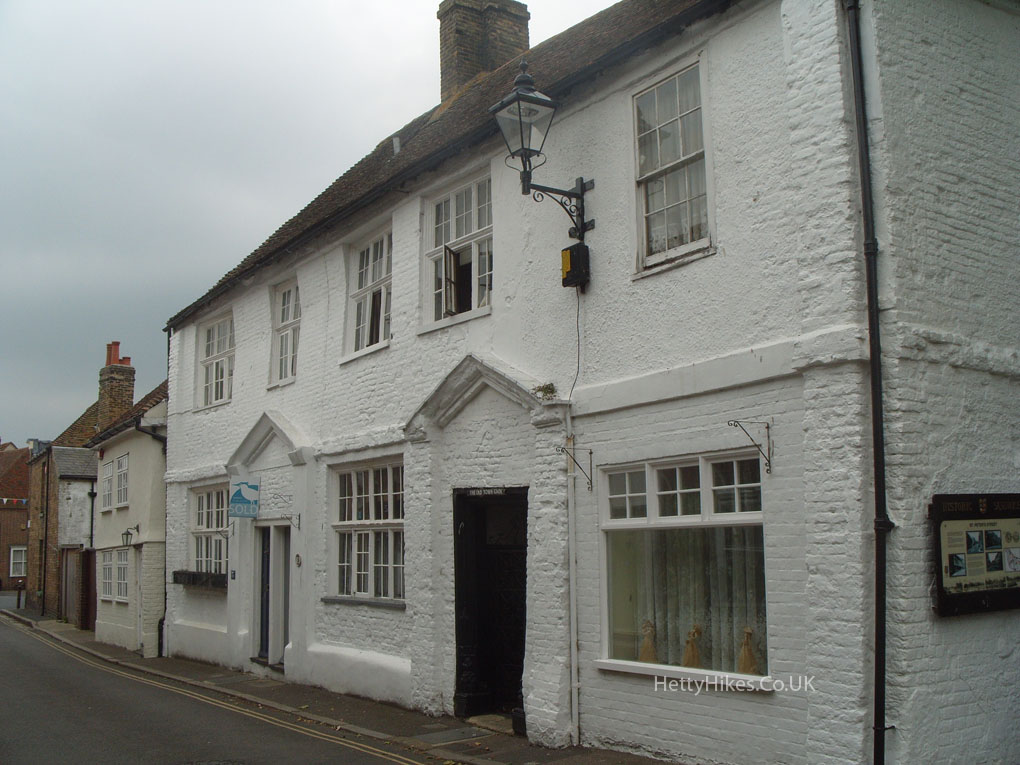
The 14th-century St Thomas’ Hospital
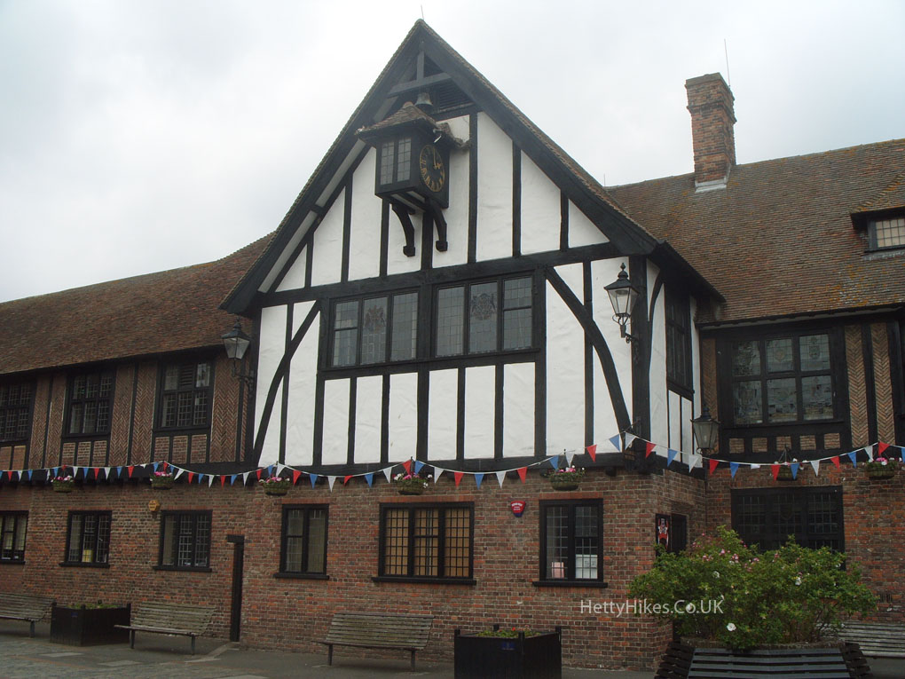
The Guildhall
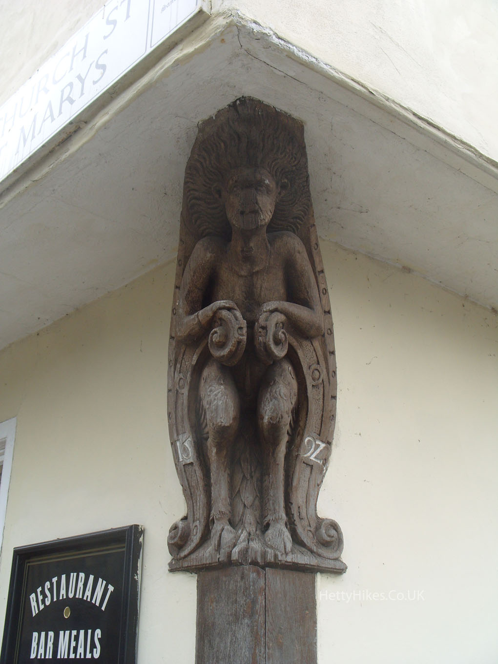
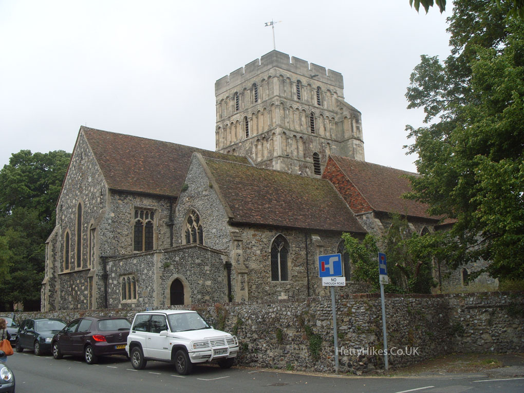
 St Peters
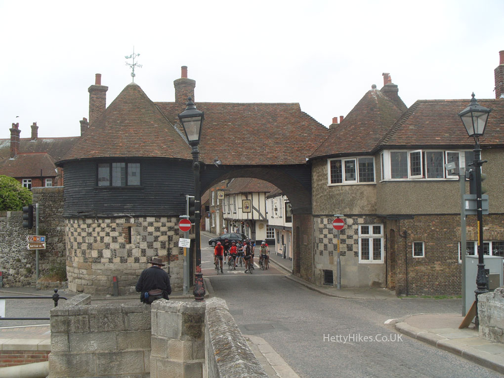
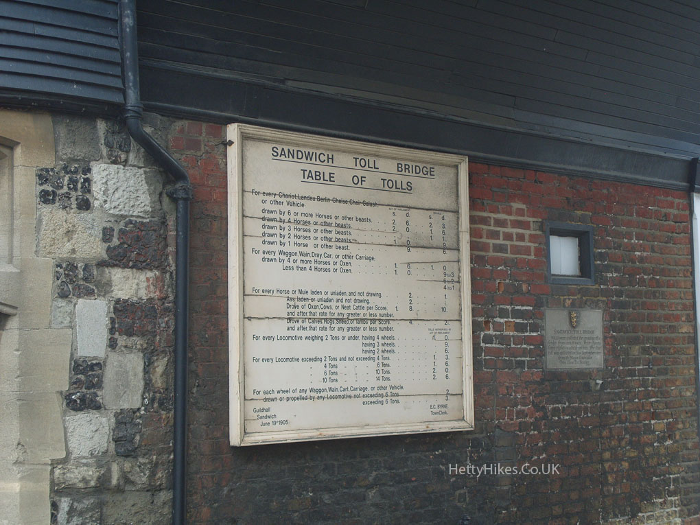
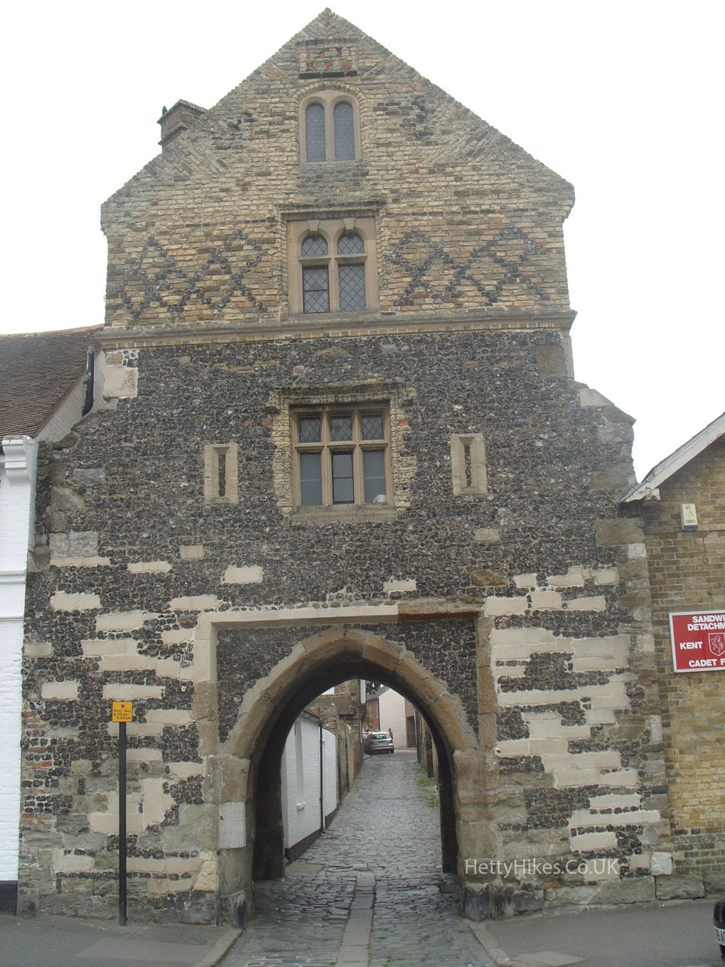
 The Barbican Gate, late 14th century, still has the table of tolls
 On the quay, Fisher Gate, enlarged in 1581, was one of the gates to the walled town and had a portcullis
 St Clement’s church dates from the 12th century
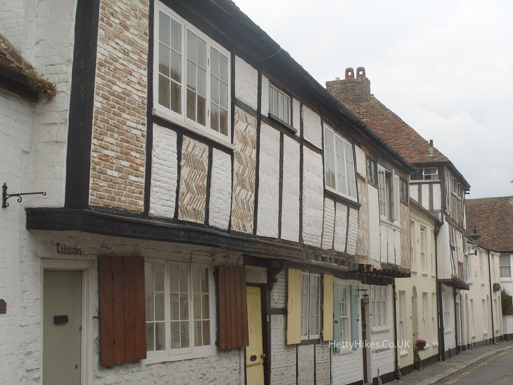
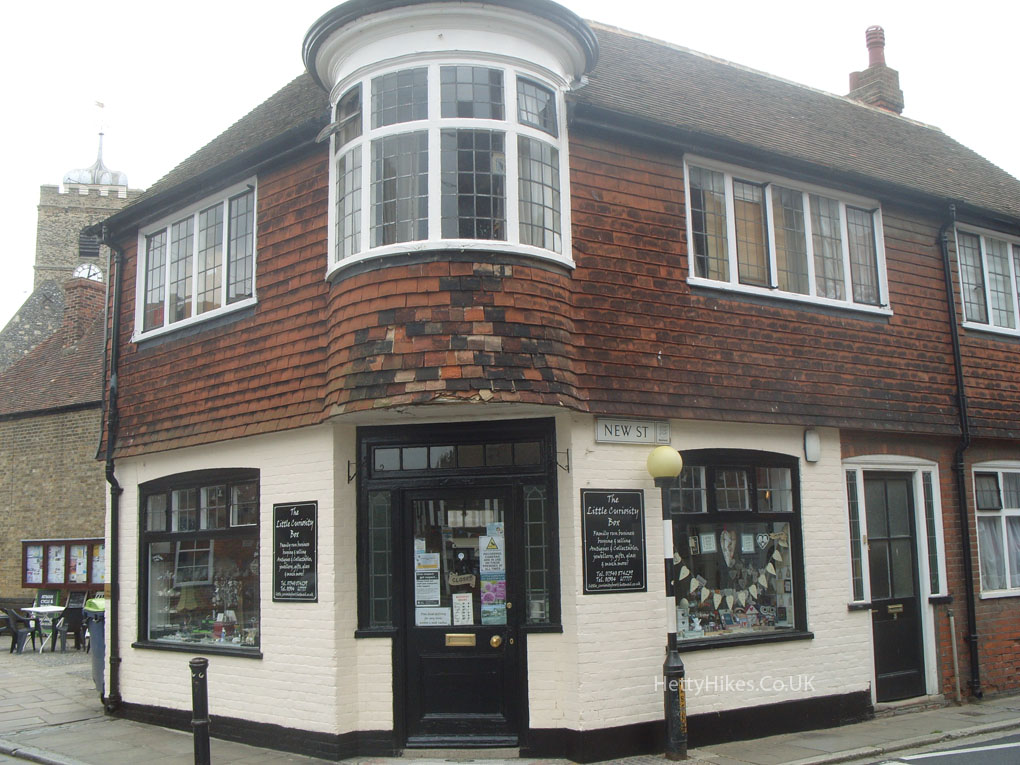
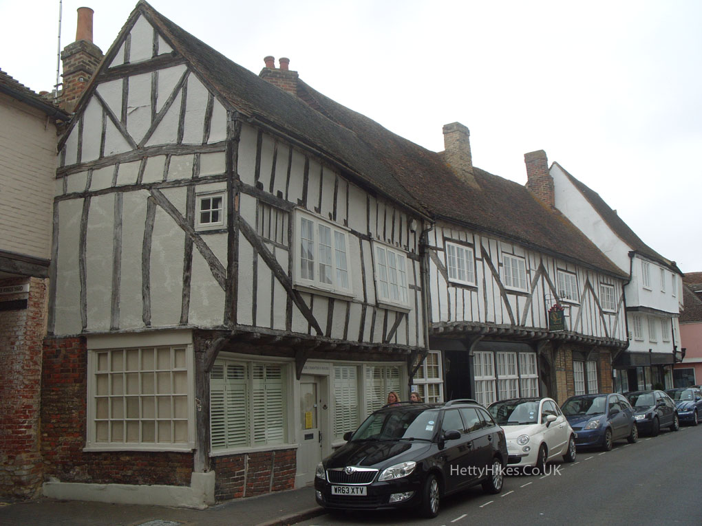
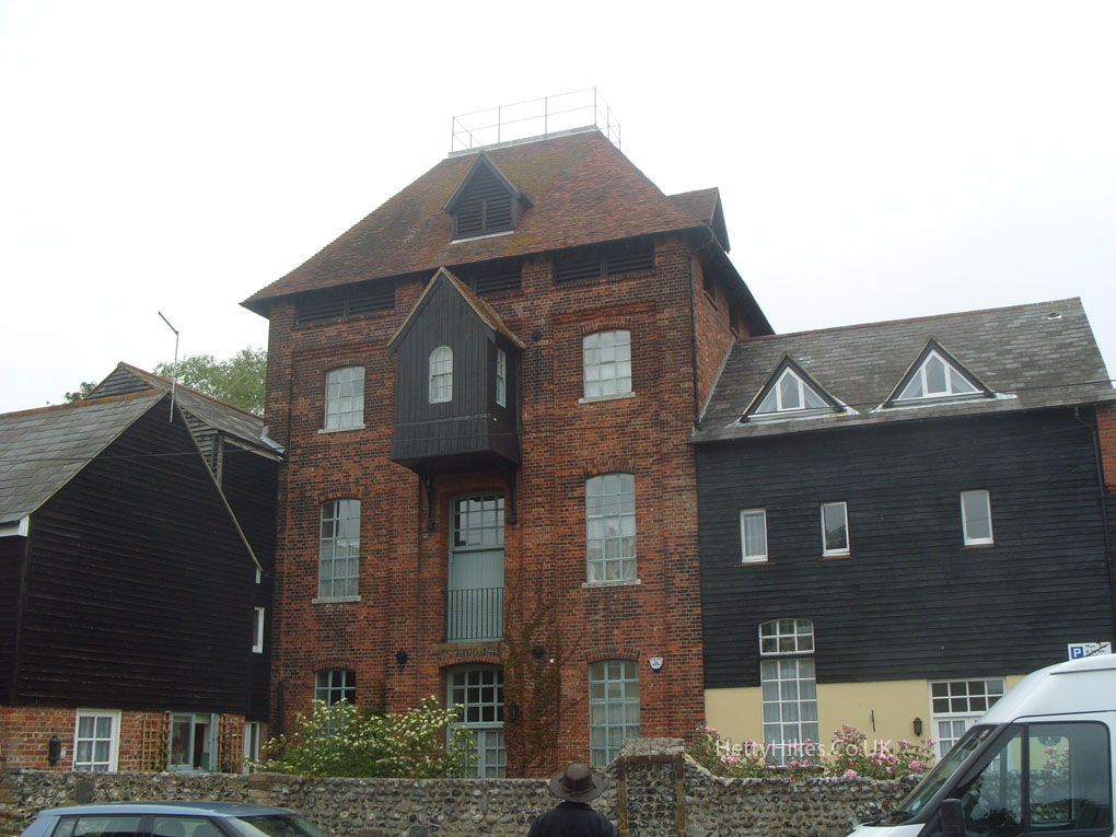
 Weavers building
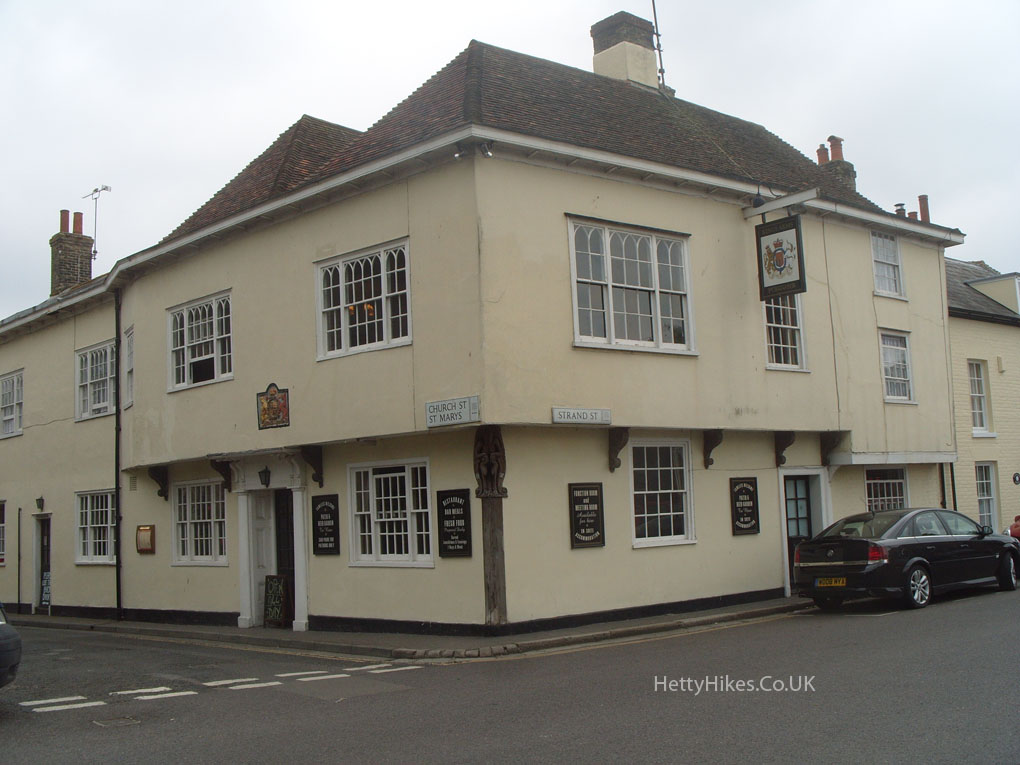
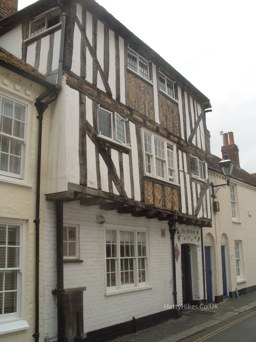
 The Pilgrims, Strand St, used to be on the edge of the river
We then walked back to Richborough Roman Fort (English Heritage)
Previous – Deal Castle Next – Dover