Devon 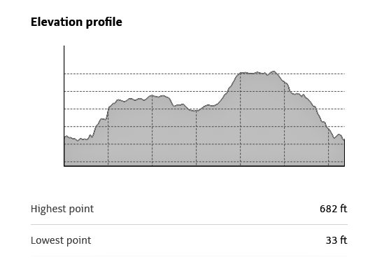
Photos by Hetty
19th May 2021
- Lynmouth to Valley of Rocks
Map of walk 3.8 miles 1.44 hrs
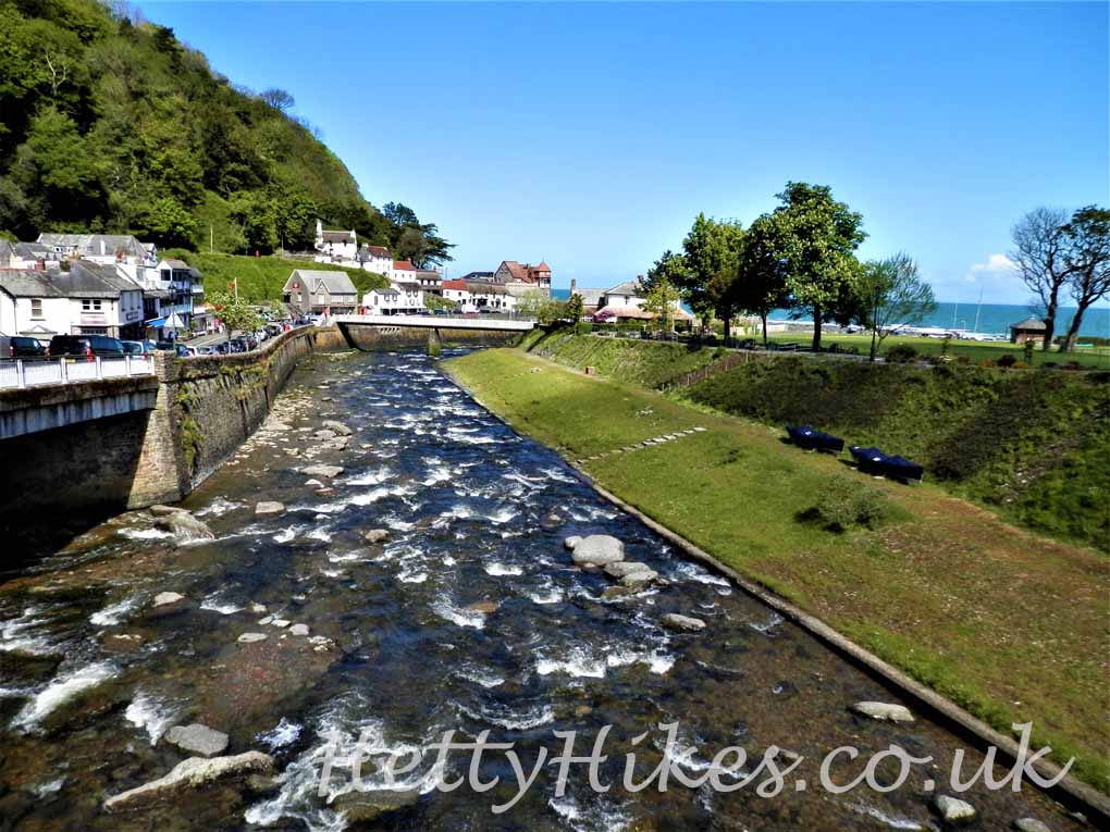
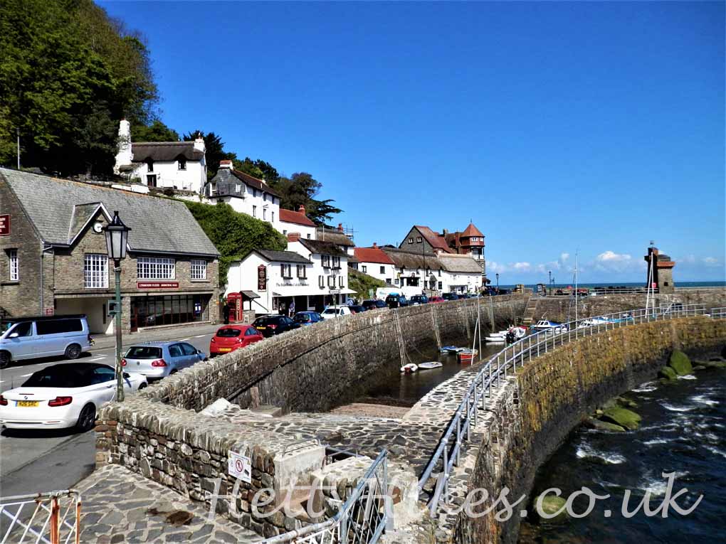
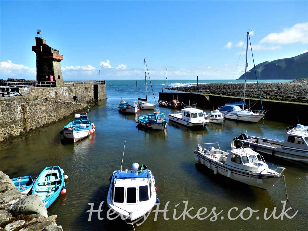
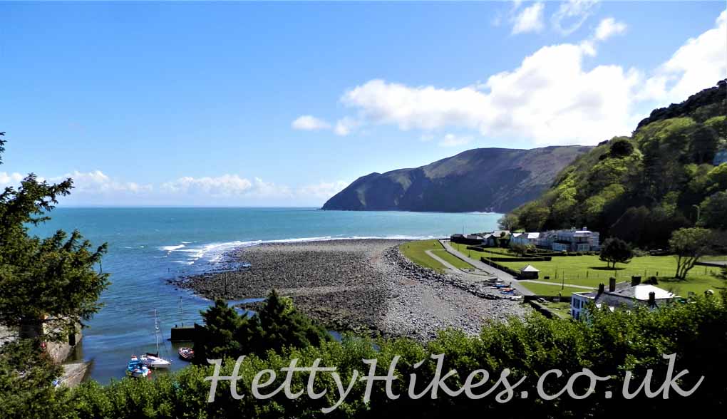
We parked in Lynmouth and walked to the mouth of the river
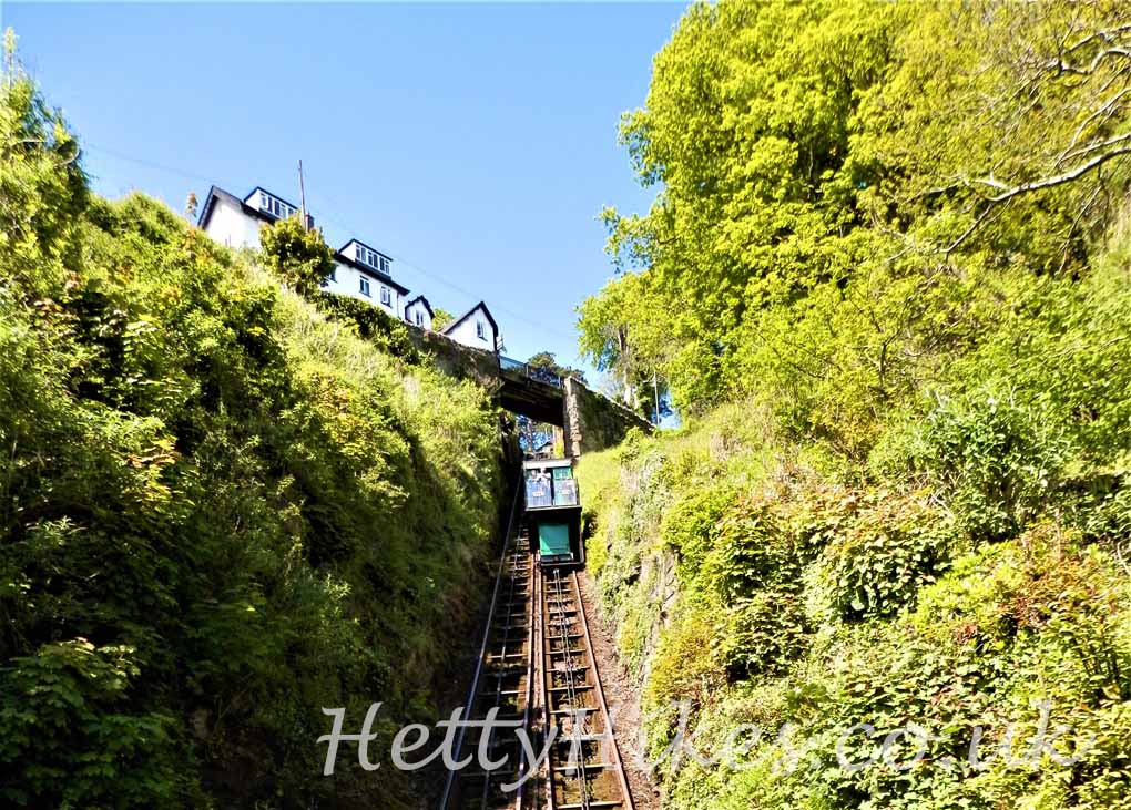
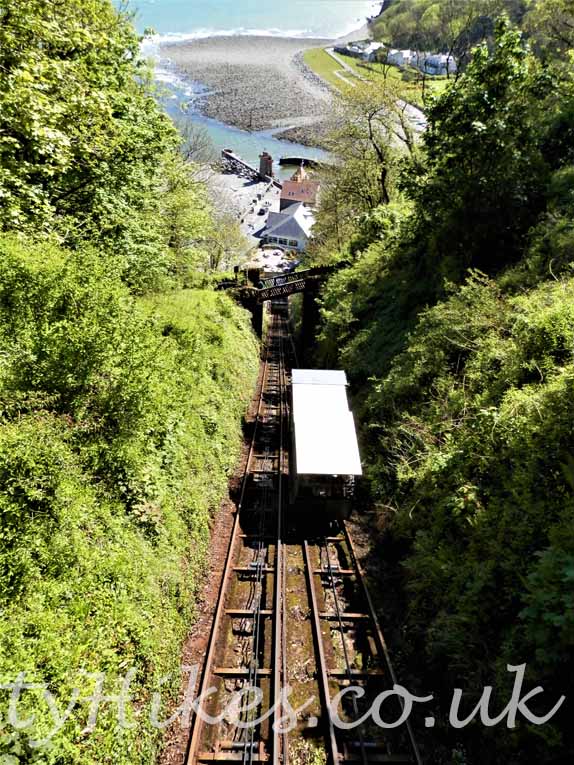
There is a cliff railway
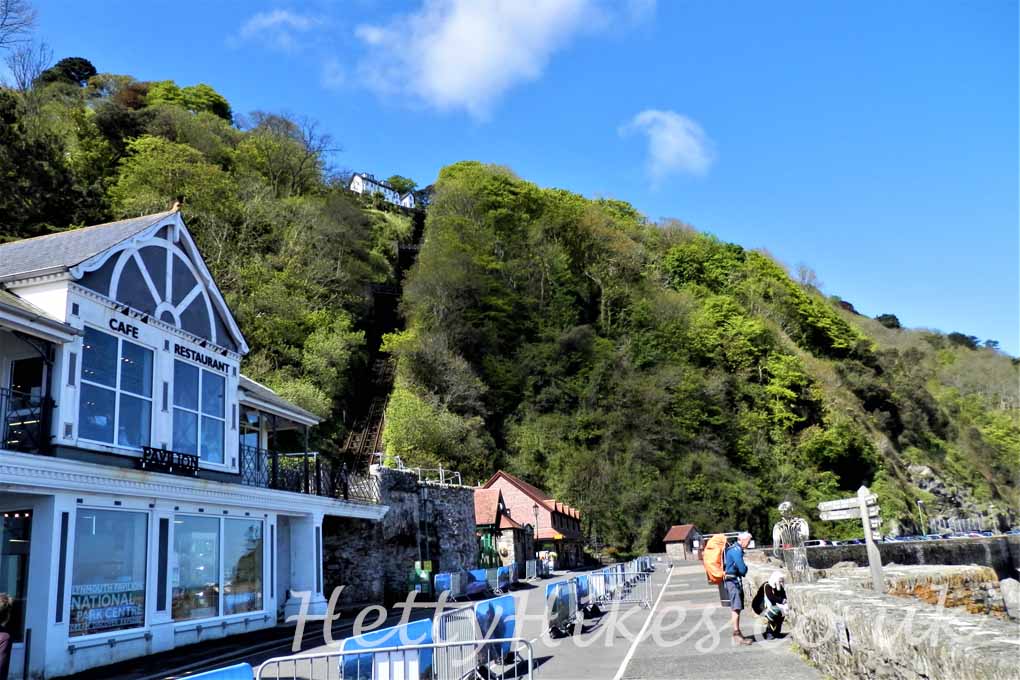
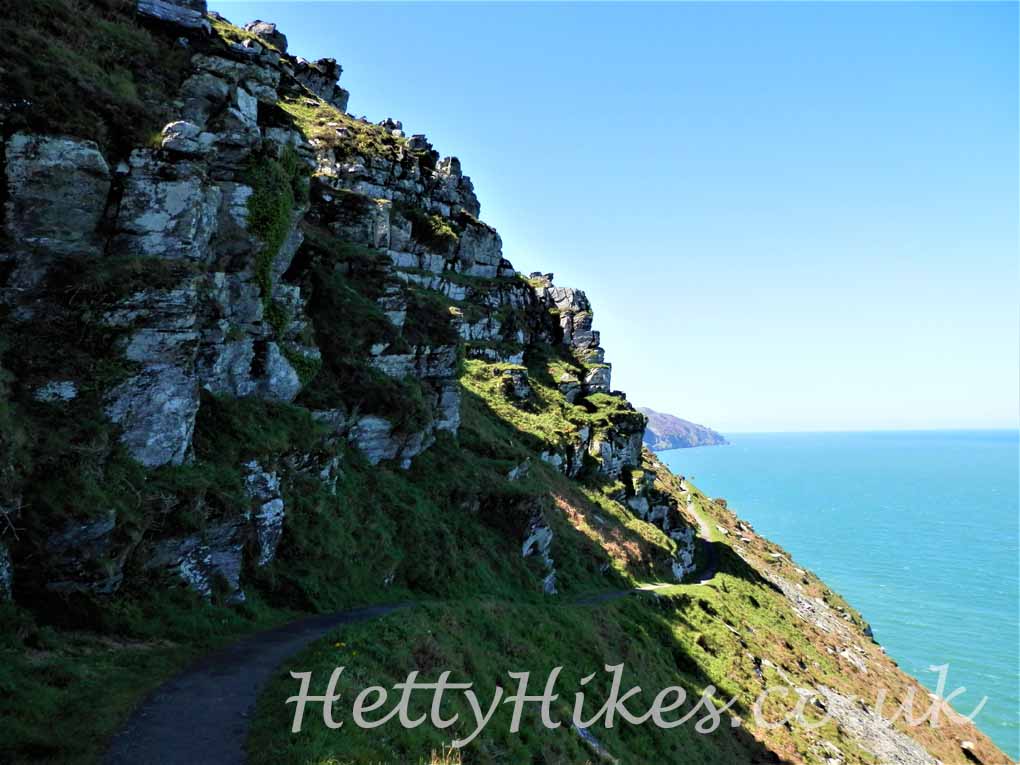
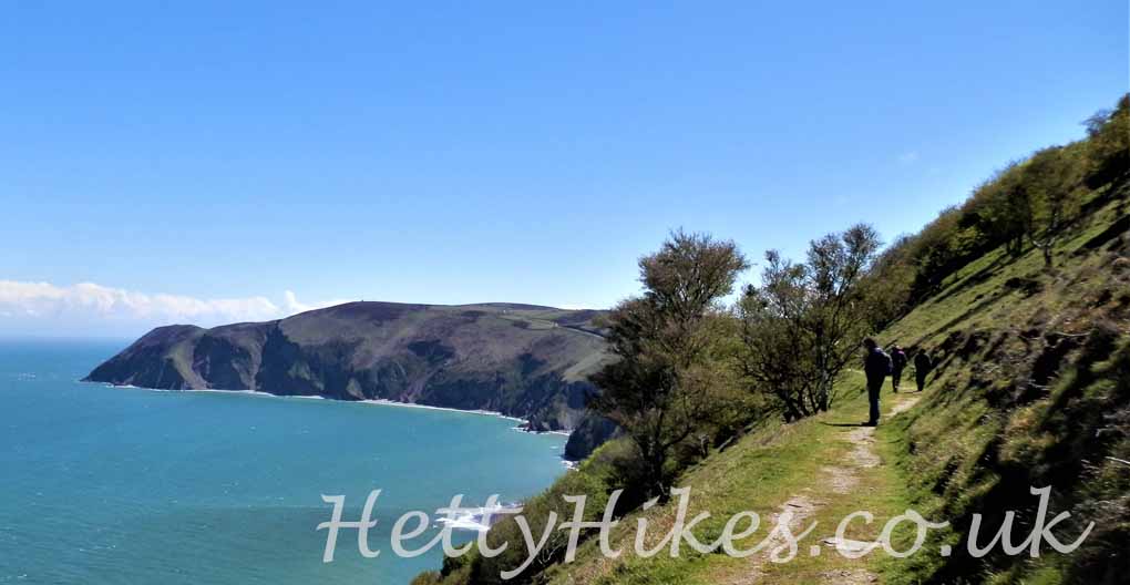
but we walked up the steep zig-zag path which crosses the railway, with stunning views
Cliff railway – one comes down as the other comes up
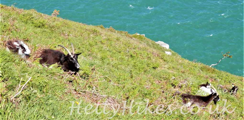
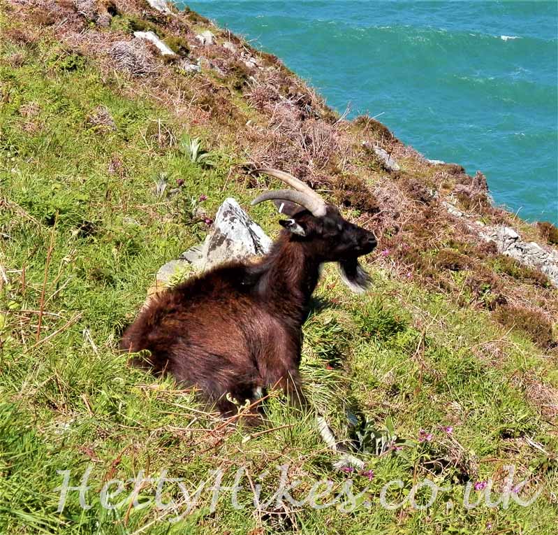
There are feral goats on the cliffs
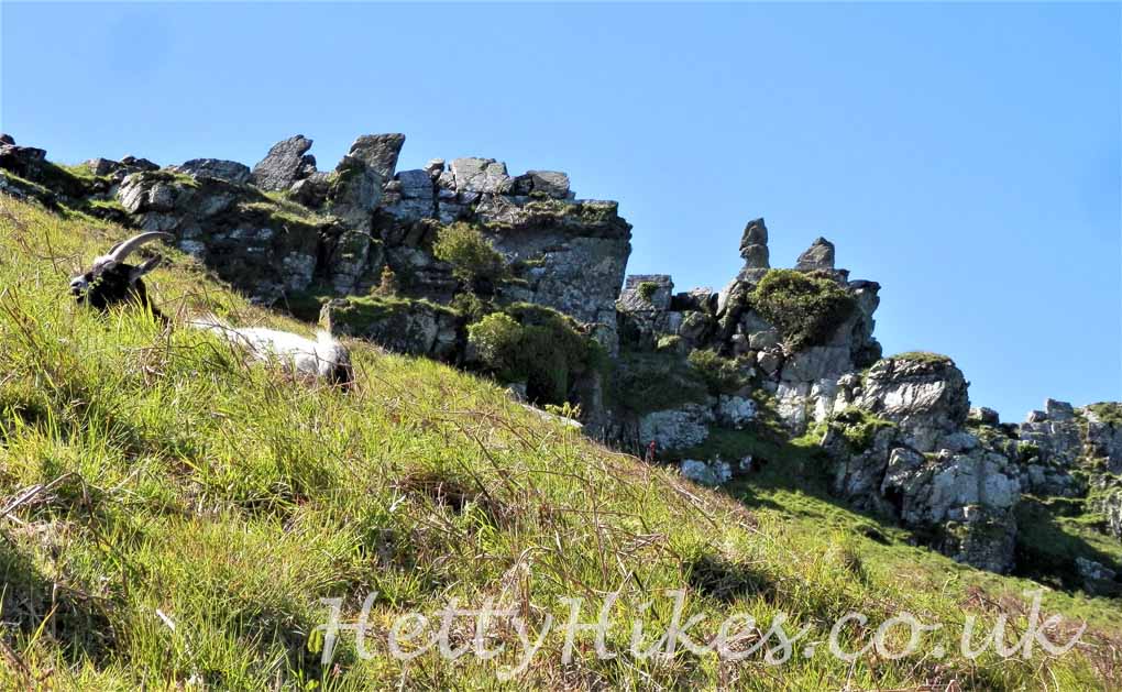
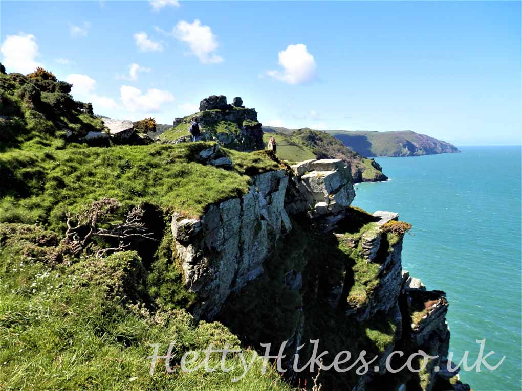
We turn away from the cliffs into the Valley of Rocks
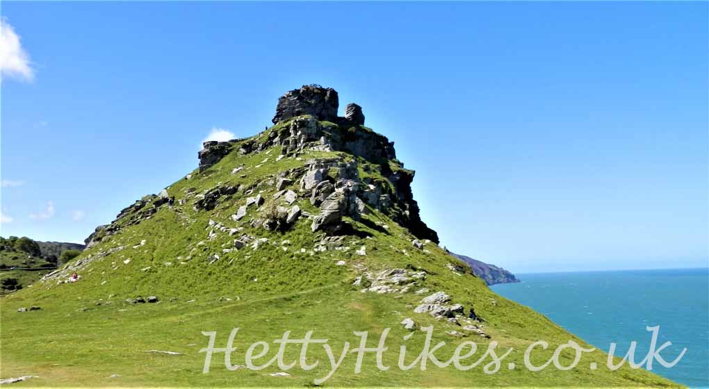
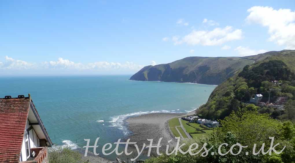
Then climb up higher and look down on the peaks that we looked up to before
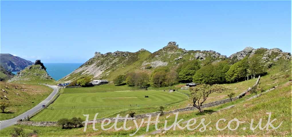
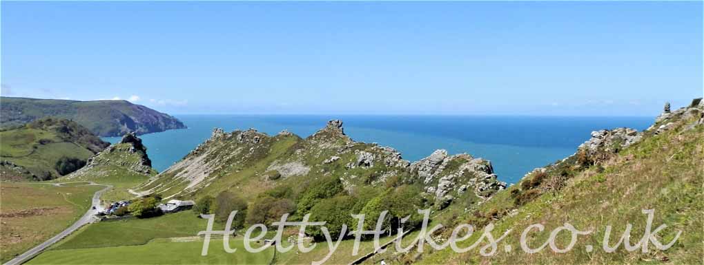
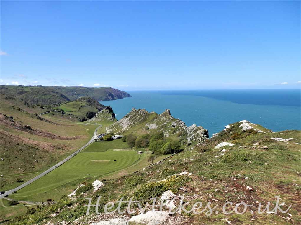
Then round to the sea side again, but much higher than before
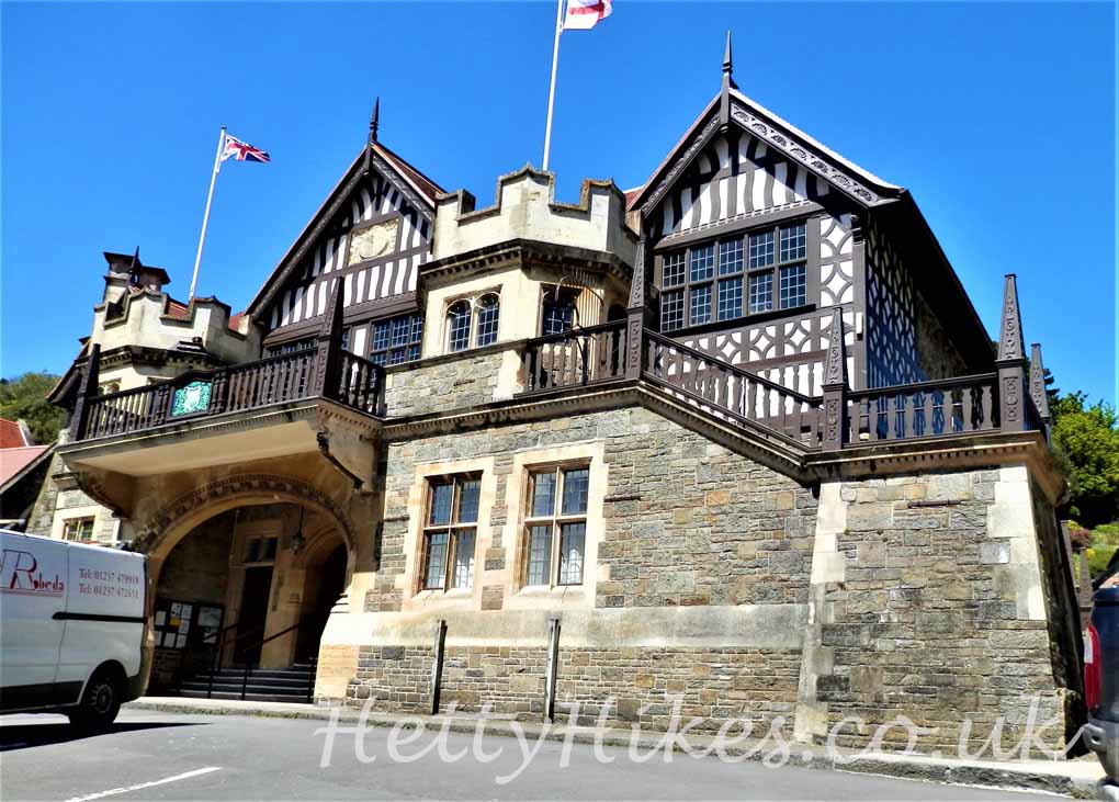
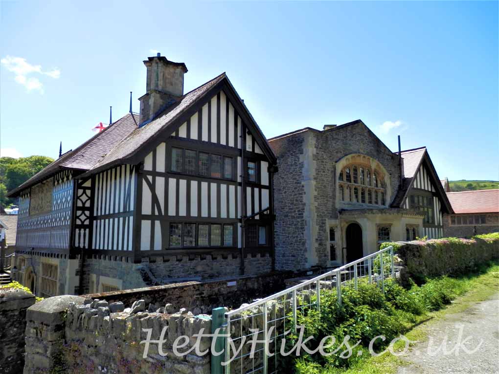
Lynton Town Hall – front and back
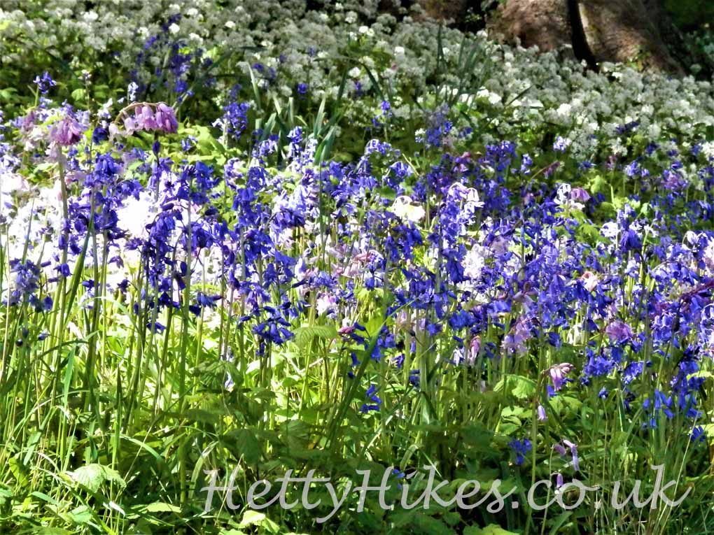
Some of the bluebells are pink
2. Lynmouth to Watersmeet 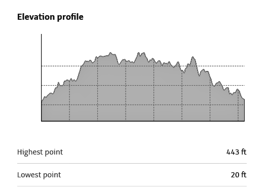
Map of walk 4.3 miles 2 hrs
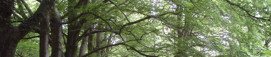
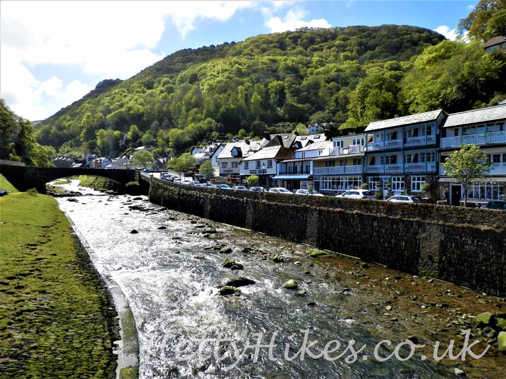
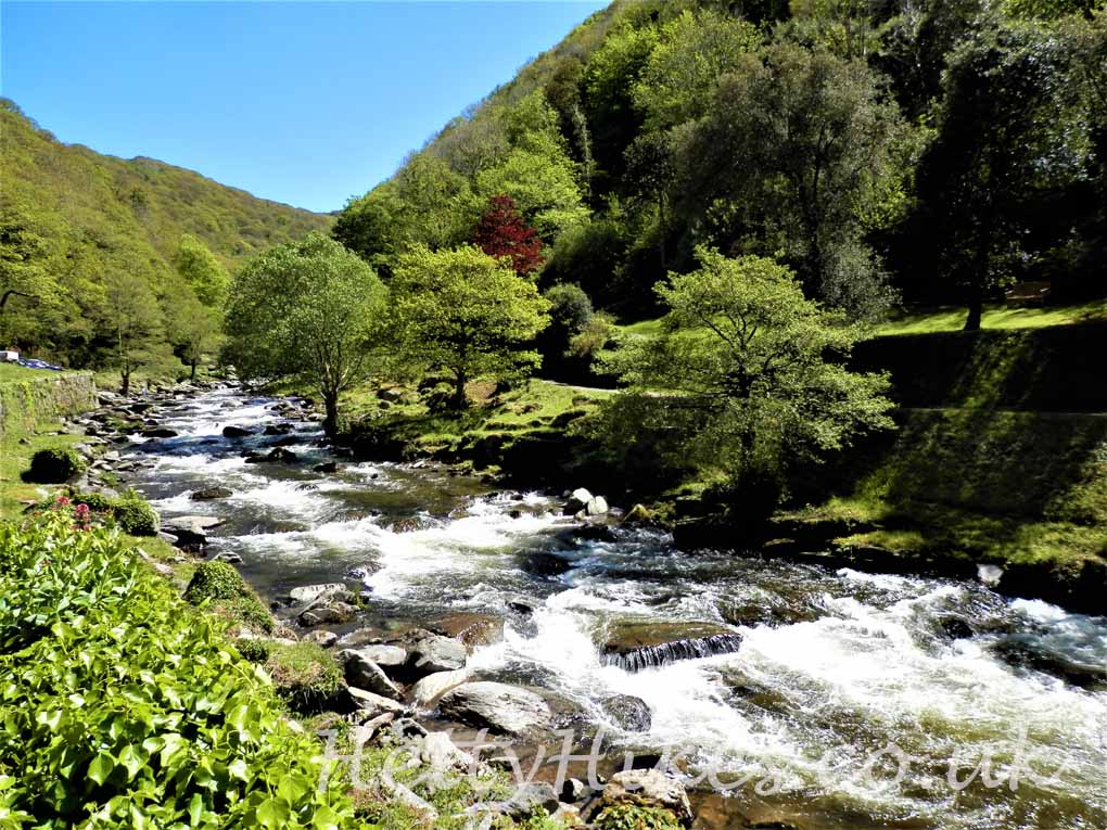
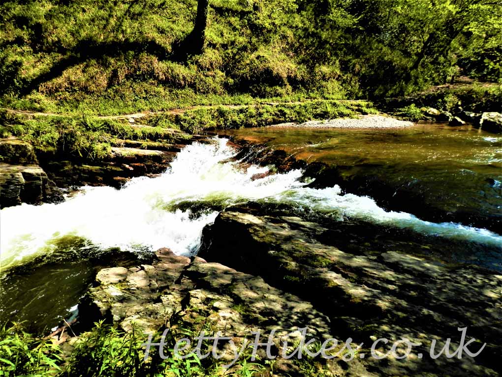
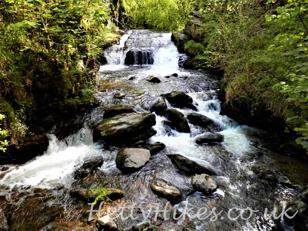
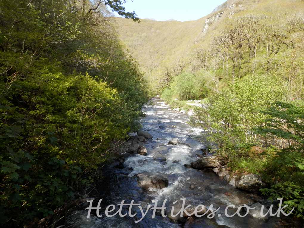
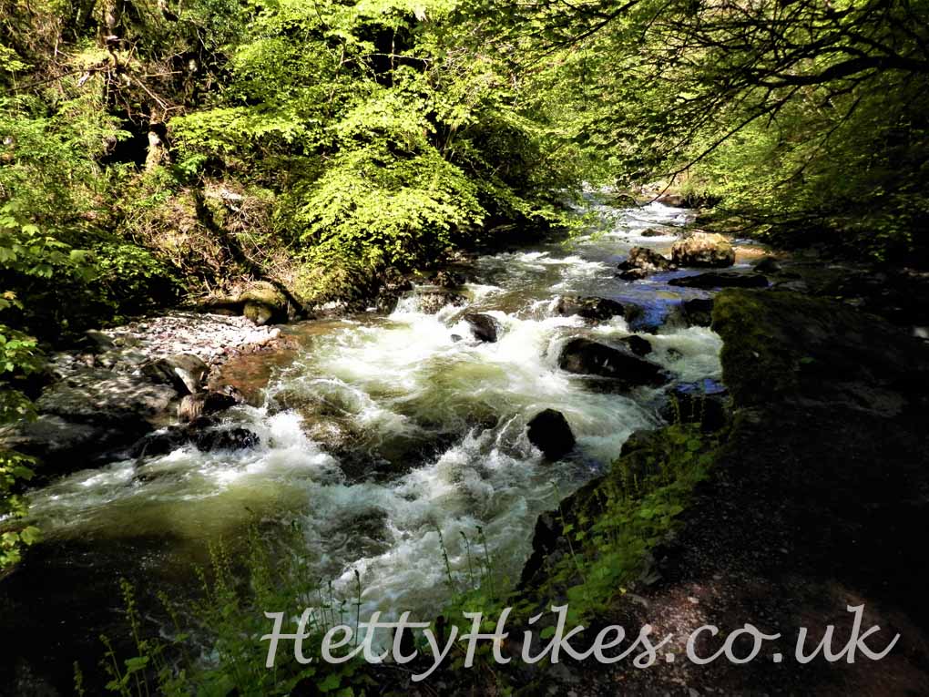
In the afternoon we walked to Watersmeet, following the noisy river which tumbles over boulders. First, we walked by the water, then up through the woods.
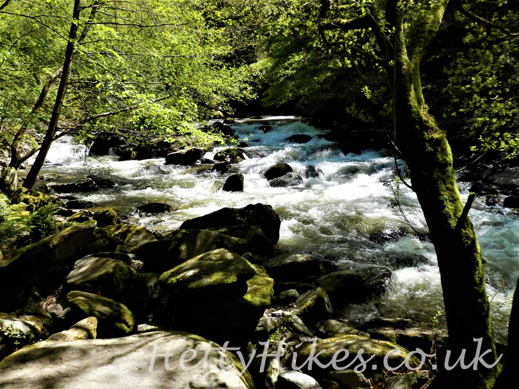
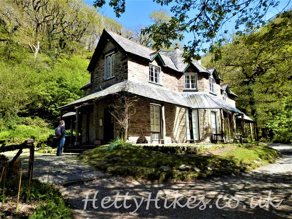
Where two rivers meet there is a tea room, which used to be a fishing lodge, but it was closed.
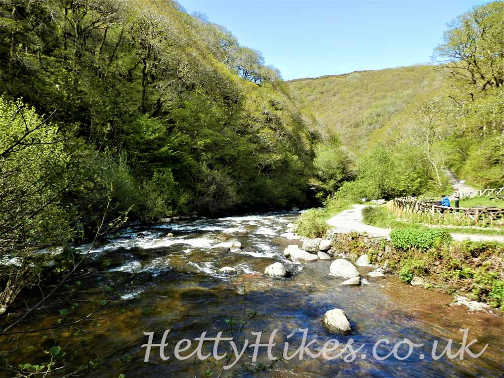
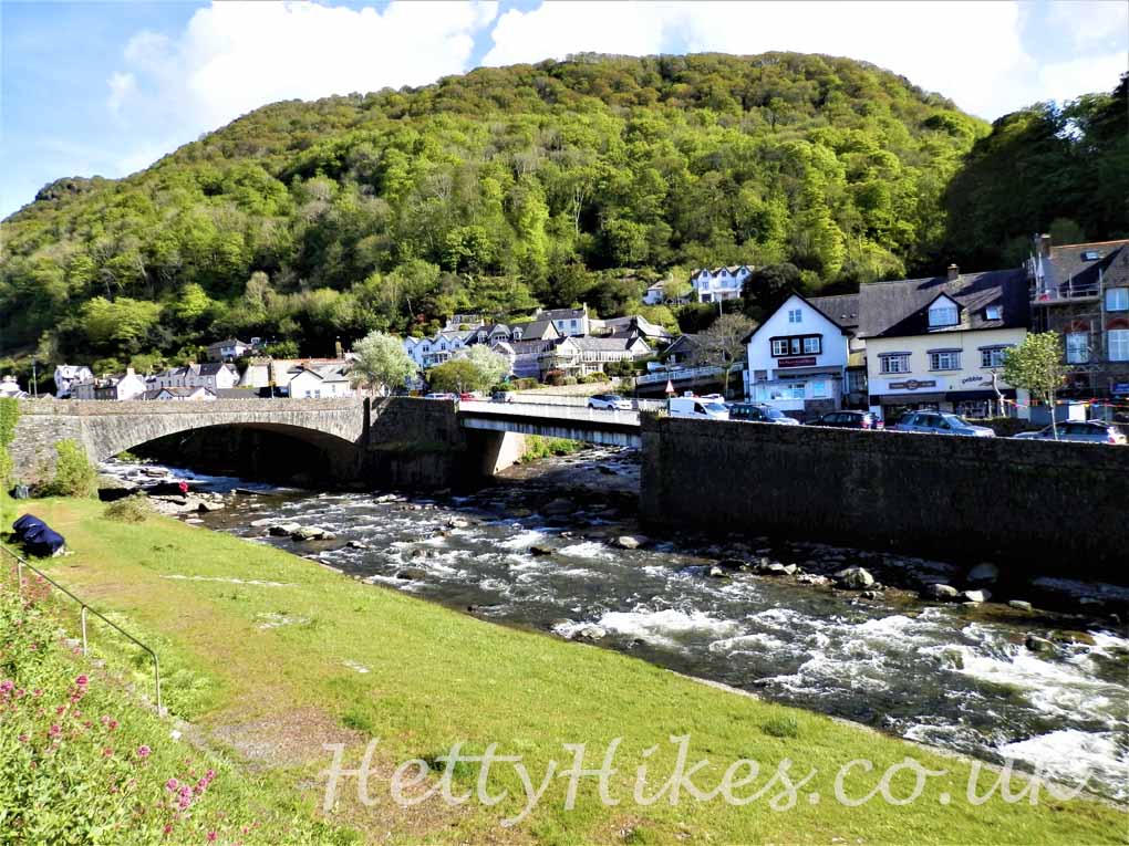
We followed the riverside path back to Lynmouth for fish and chips.
Next: Castle Hill Gardens