Gloucestershire Photos by Hetty
22nd July 2020
Edge, Stockend and a bit of the Cotswold Way
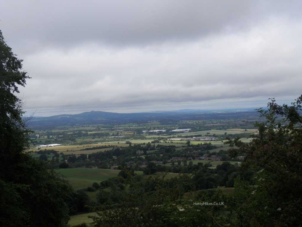
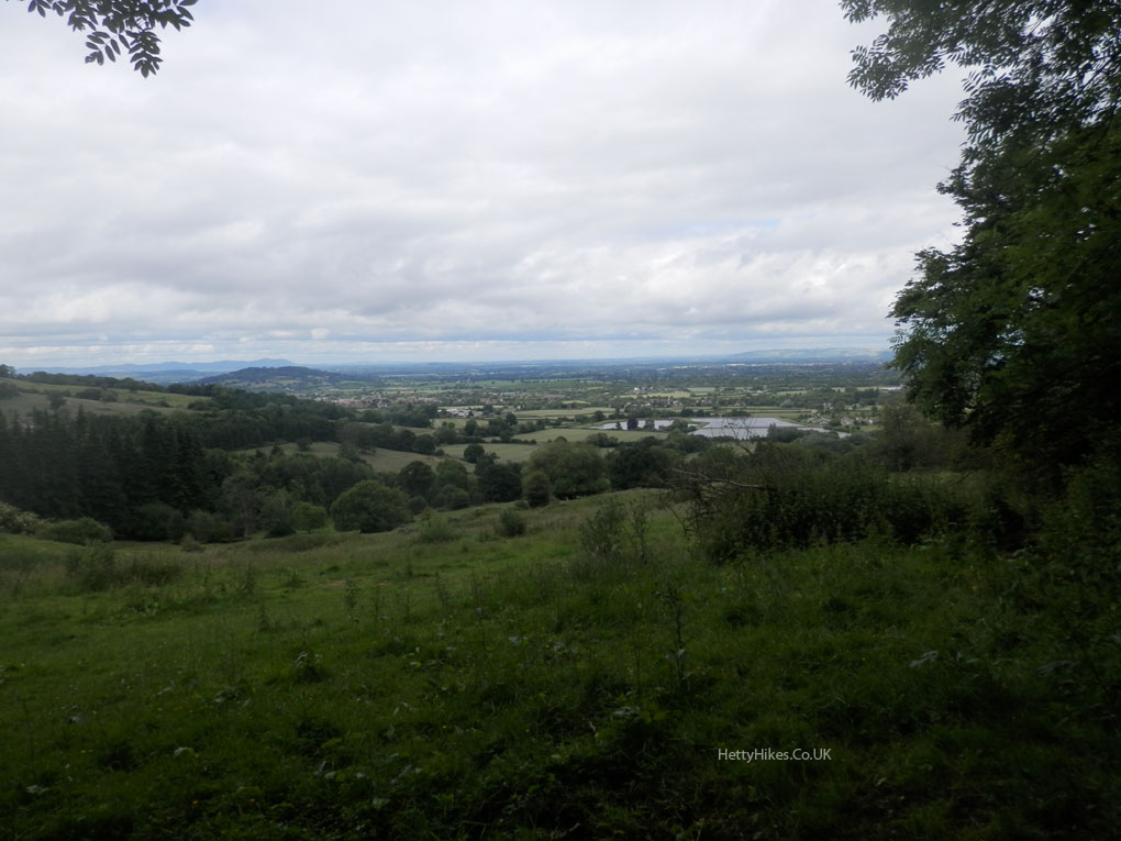
We parked at Edge and walked through Stockend, under the tree-line then returned through the woods on the Cotswold Way. There was a clear view to the Malvern Hills
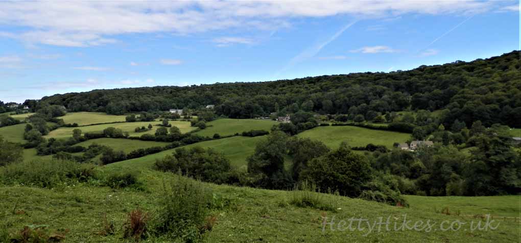
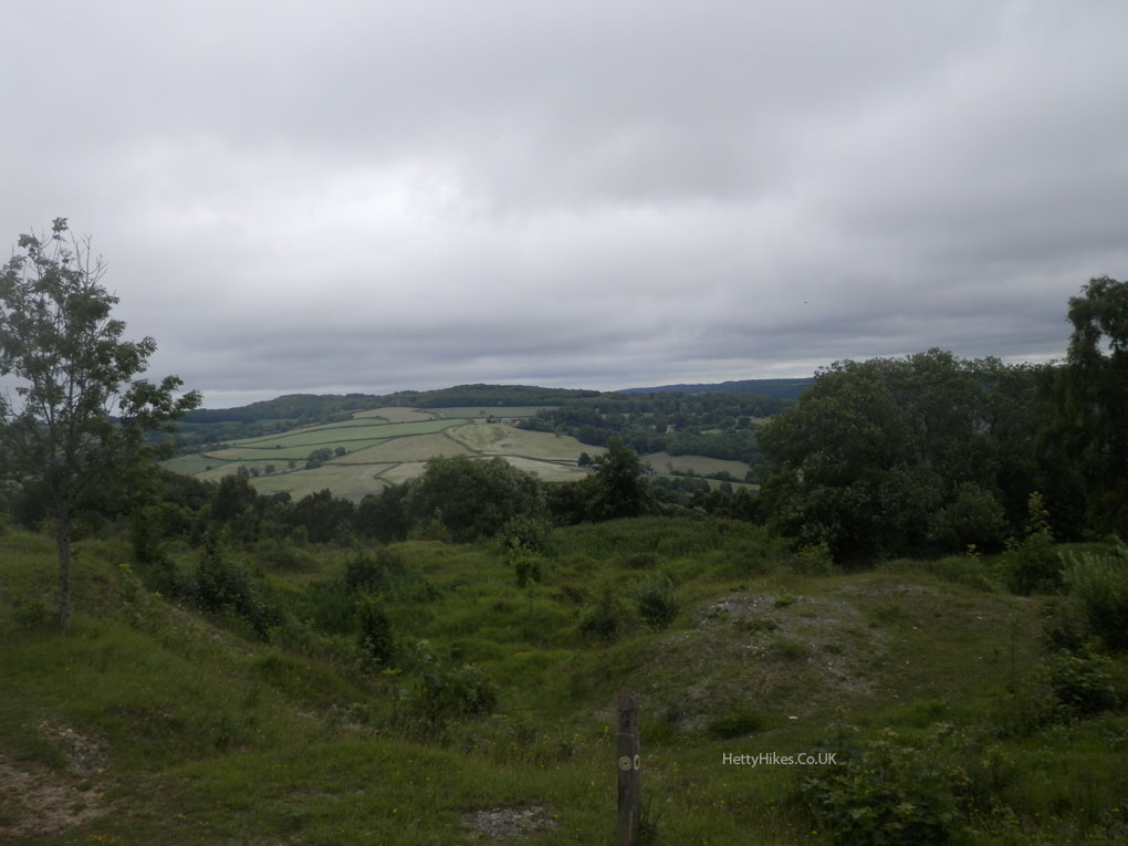
Looking back to where we have walked – across the top of the fields, under the tree-line
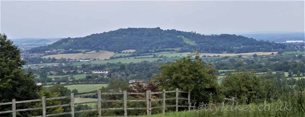
Robinswood Hill
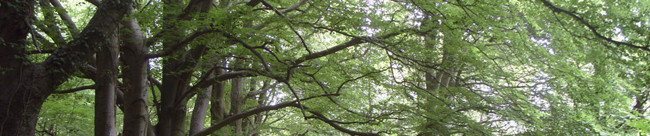
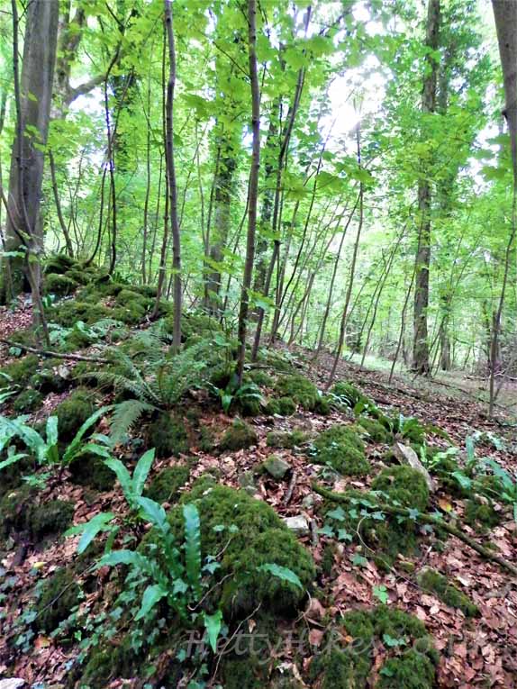
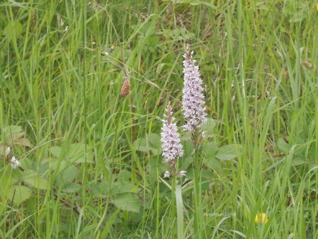
 Back through the woods
>>>>>>>>>>>>>>>>>>>>>>>>>>>>>>>>>>>>>>>>>>>>>>>>>>>>>>>>>>>>>>
Cotswold Way Part 7 – Haresfield to Barrow Wake
20th June 2018 12.5 miles Map of walk
With Stroud U3A – We resumed the walk just past Haresfield Beacon.
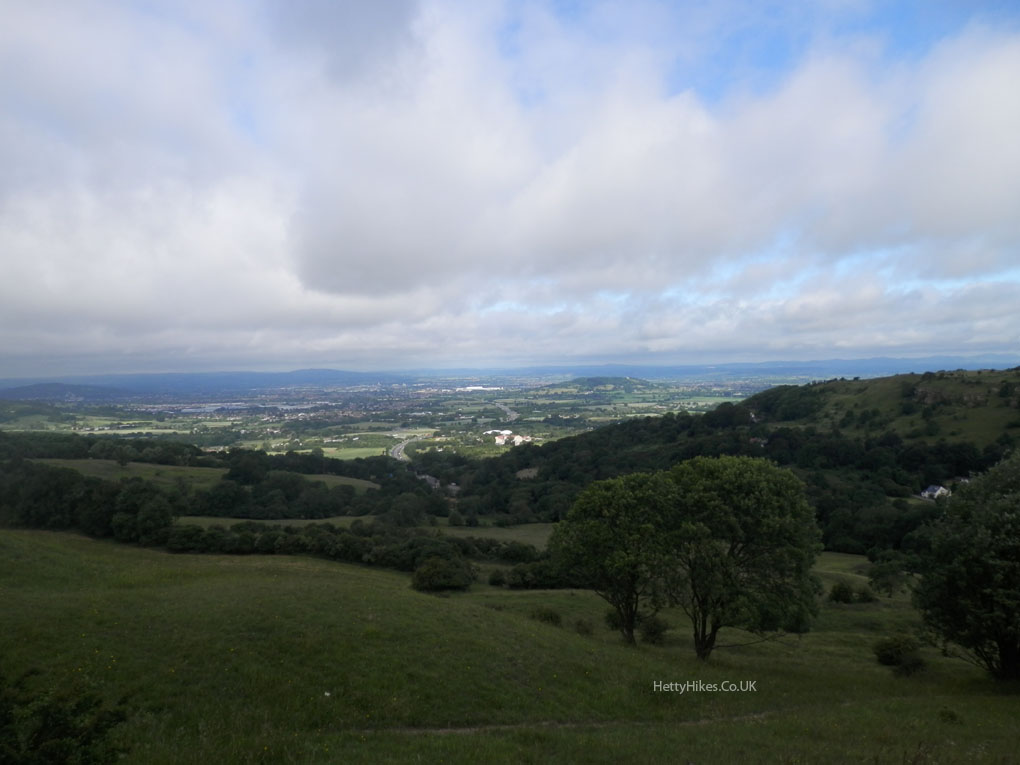
Looking across the Severn Vale to May Hill
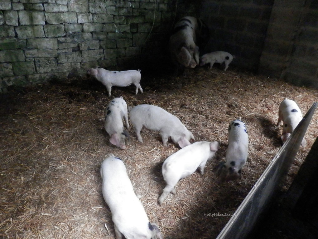
Ringhill Farm
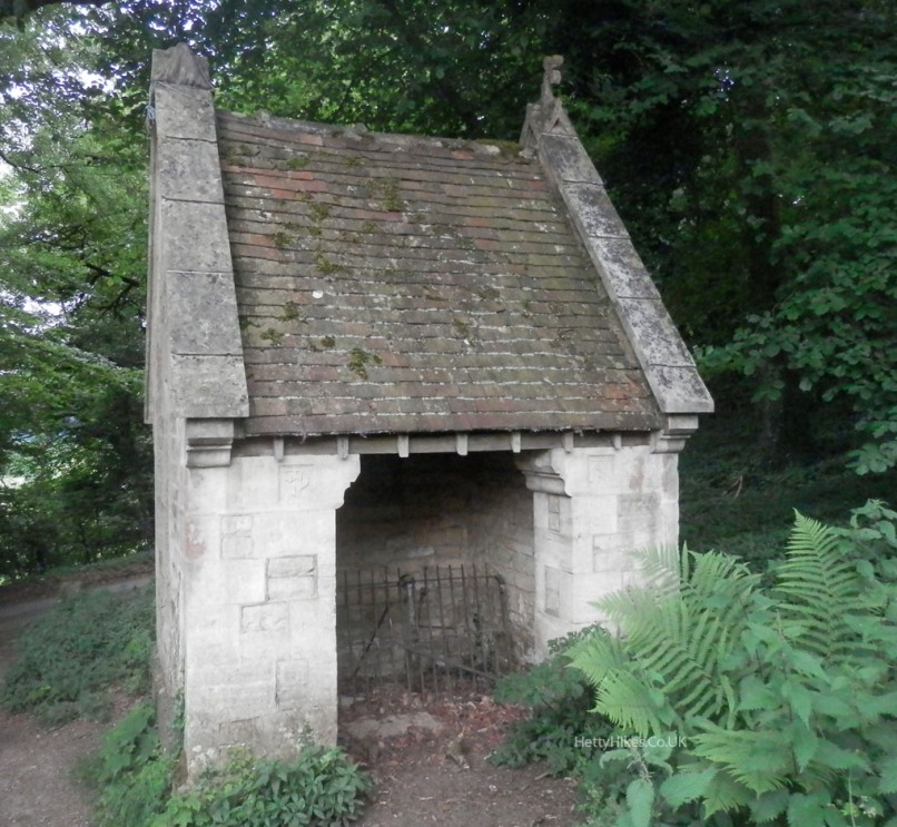
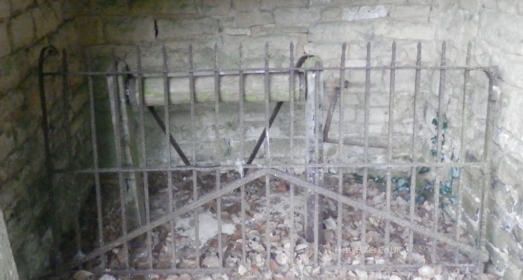
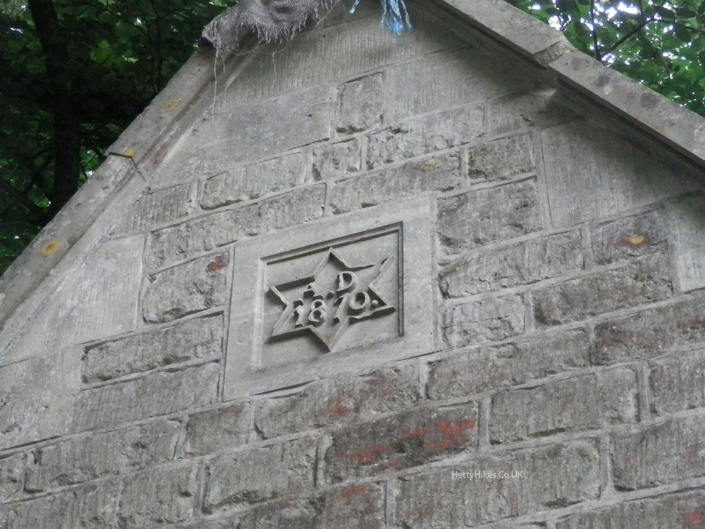
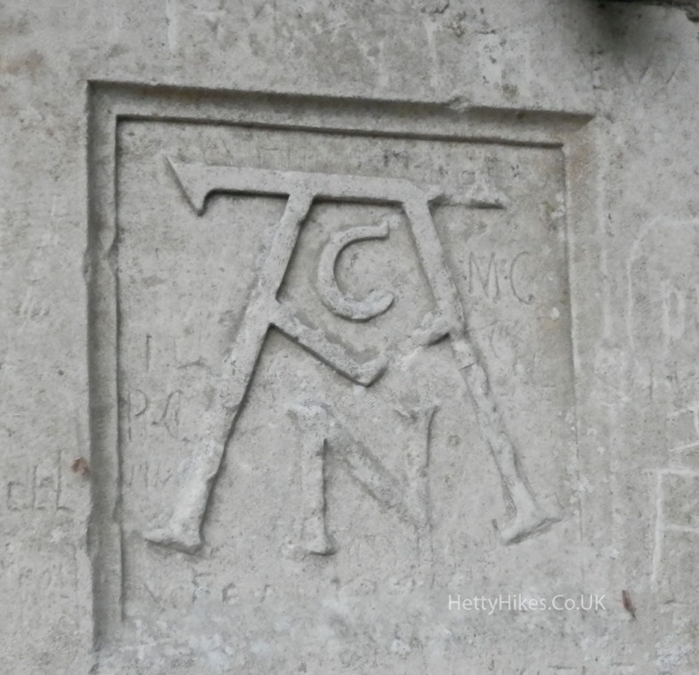
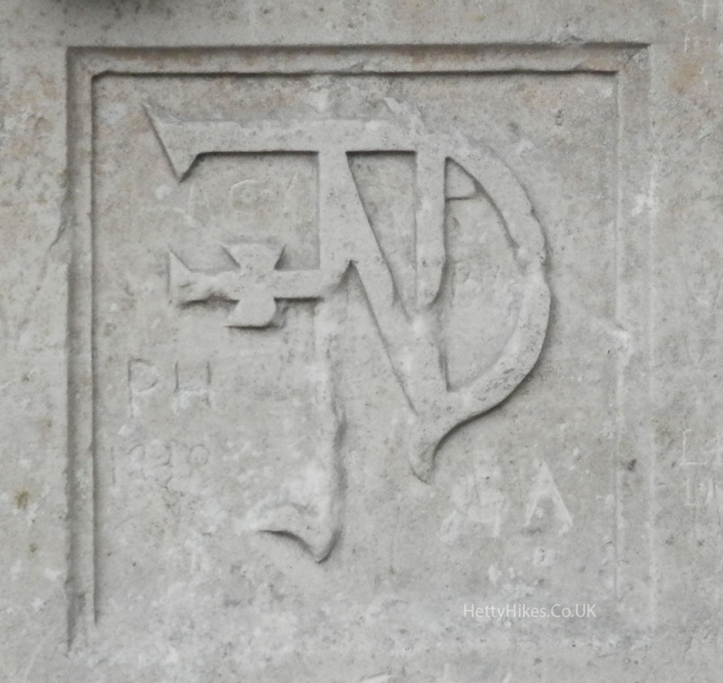
St Martin’s well
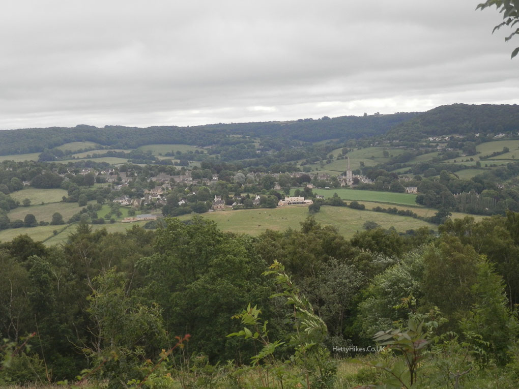
Approaching Painswick
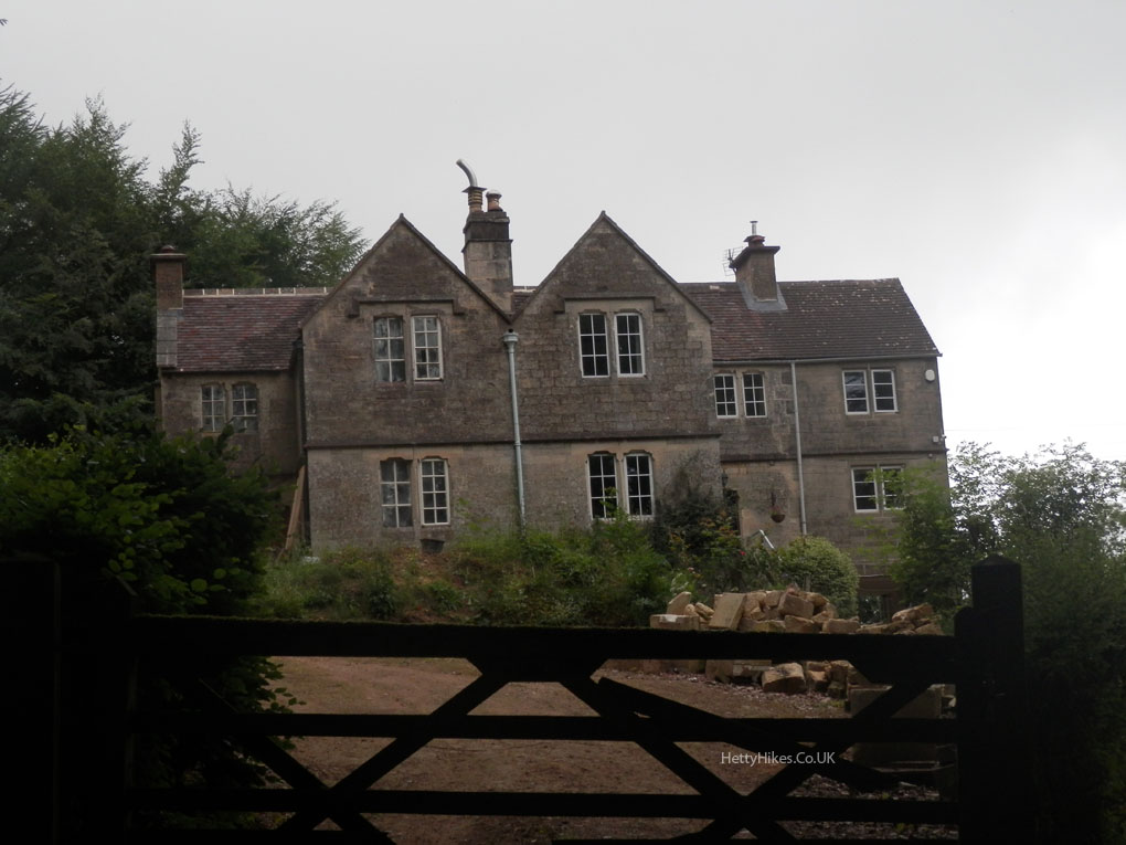
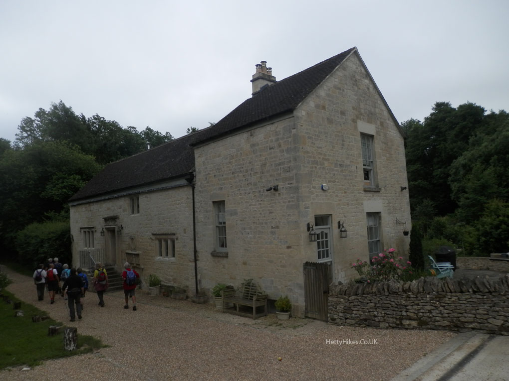
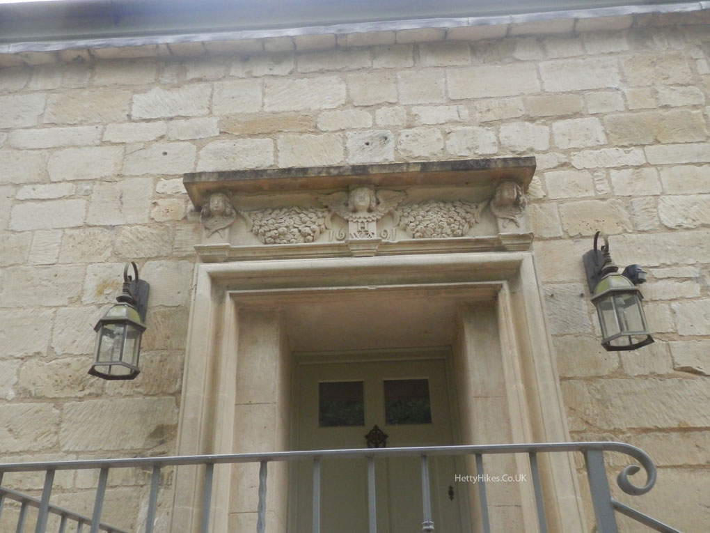
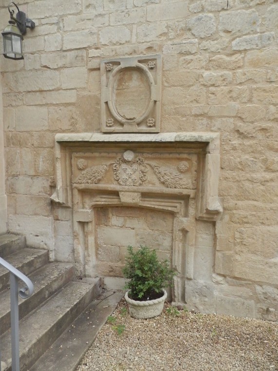
Washbrook Farm – former mill and millhouse
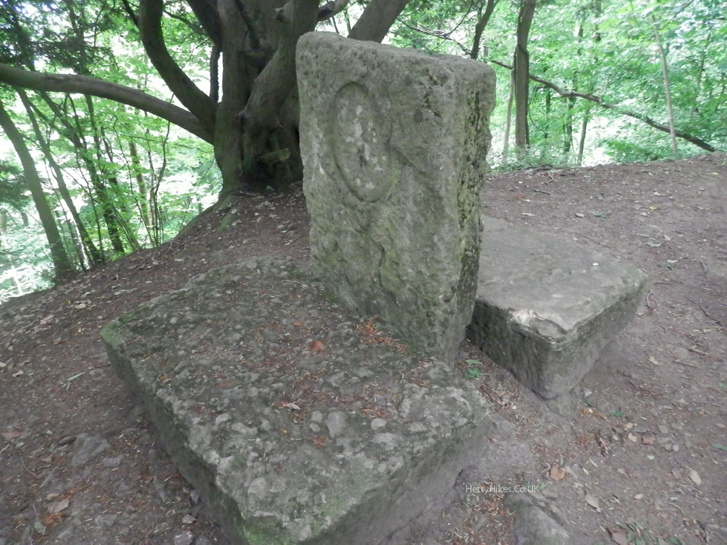
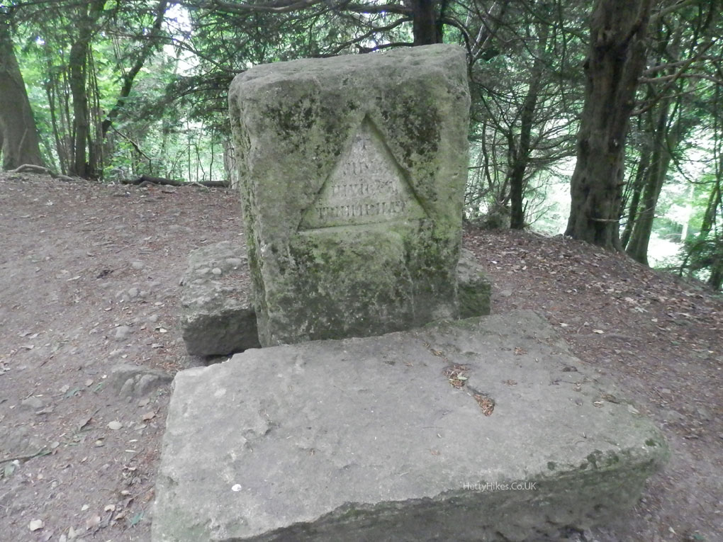
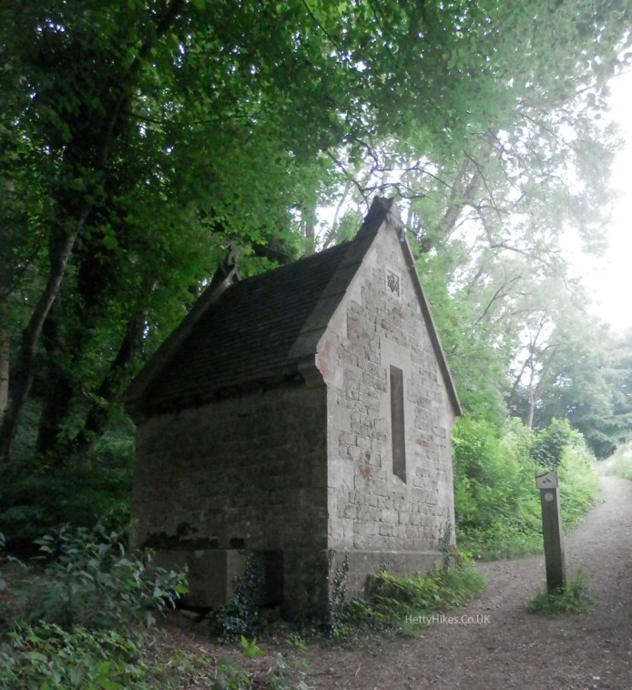
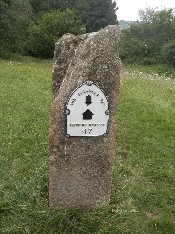
Memorial to Tony Drake – a principal creator of the Cotswold Way
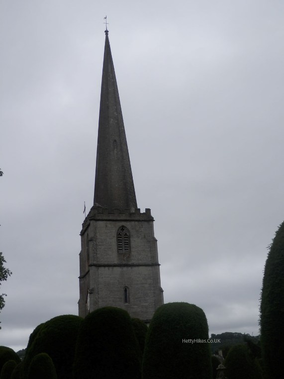
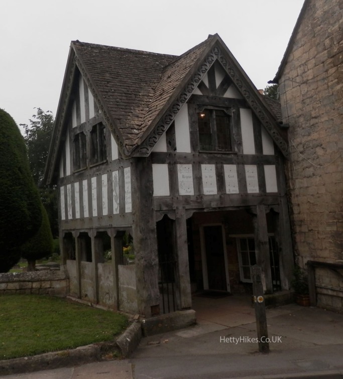
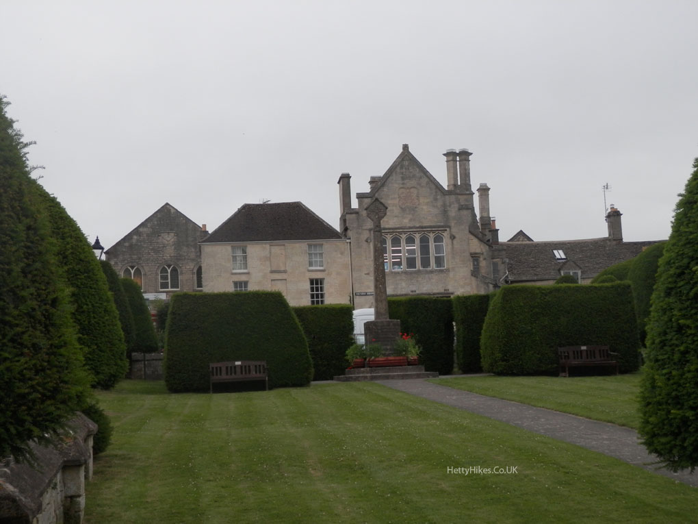
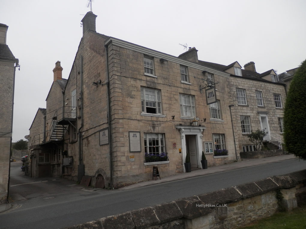
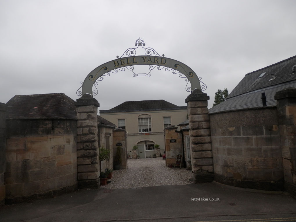
 Through Painswick
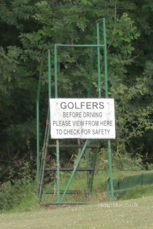
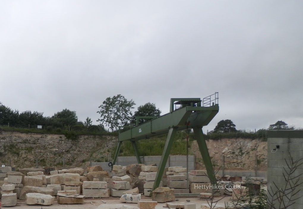
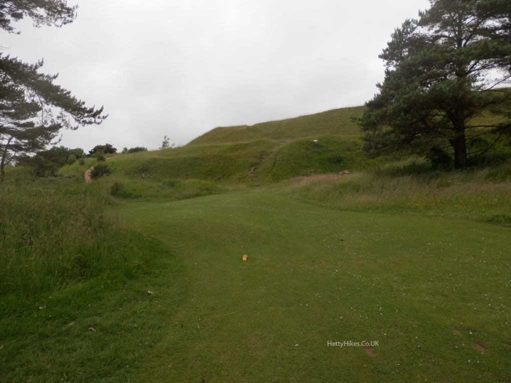
Painswick golf course, Cat Brain Quarry and Painswick Beacon Iron Age Hill Fort
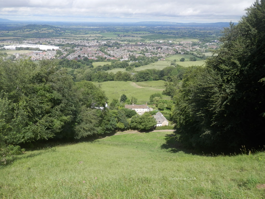
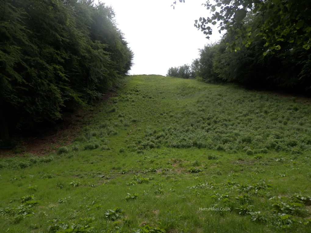
Views down and up Cooper’s Hill, where the cheeses are rolled in May – it is much steeper than it looks here!
 We arrive at Barrow Wake
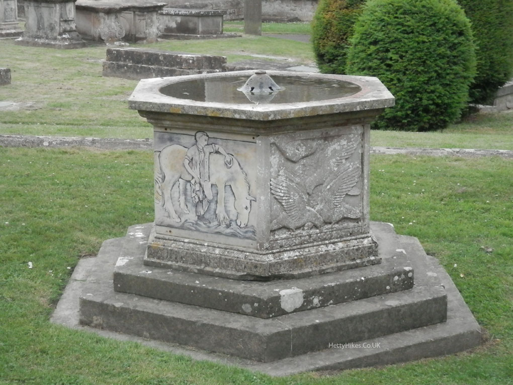
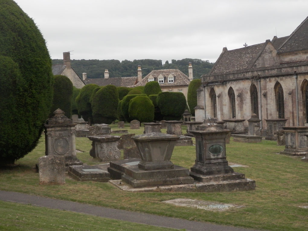
More Painswick: