Liguria, Italy Map of Riviera di Levante, Italy All photos by Hetty
30th April 2015 Introduction to this holiday
This walk is about 1.5 hours, 4 km = 2.5 miles, height gained 130 meters = 425 feet. It is not as hard as the last walk, but steep and lots of steps
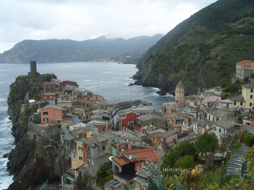
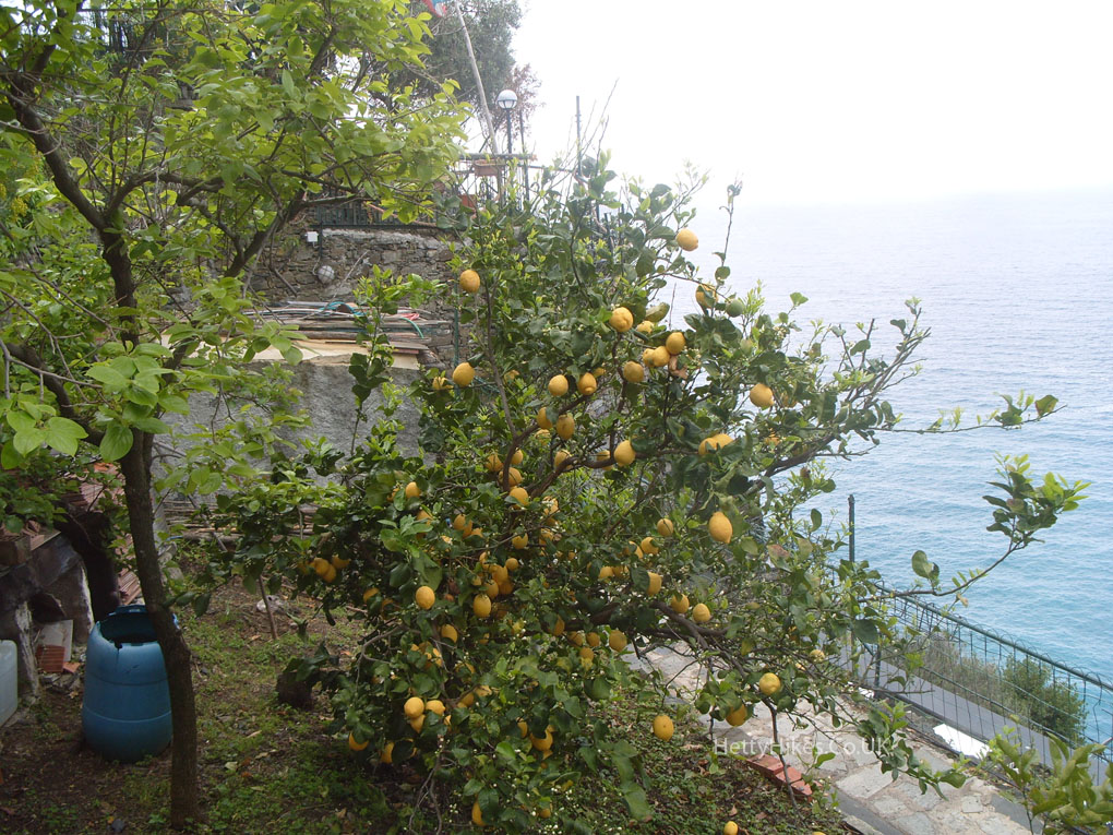
Leaving Vernazza
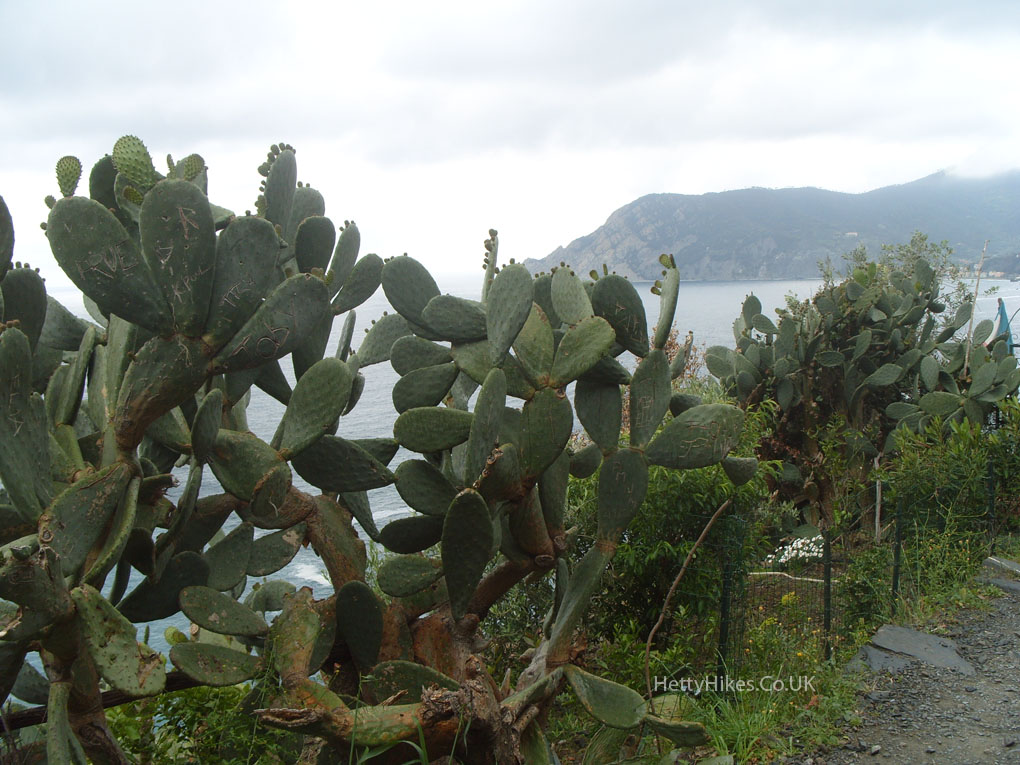
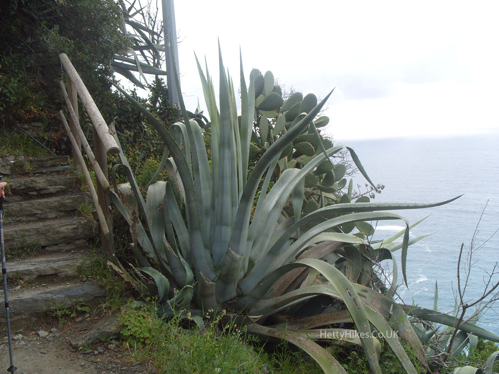
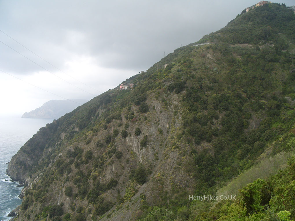
Some of the paths were narrow ledges, many with a much longer drop below
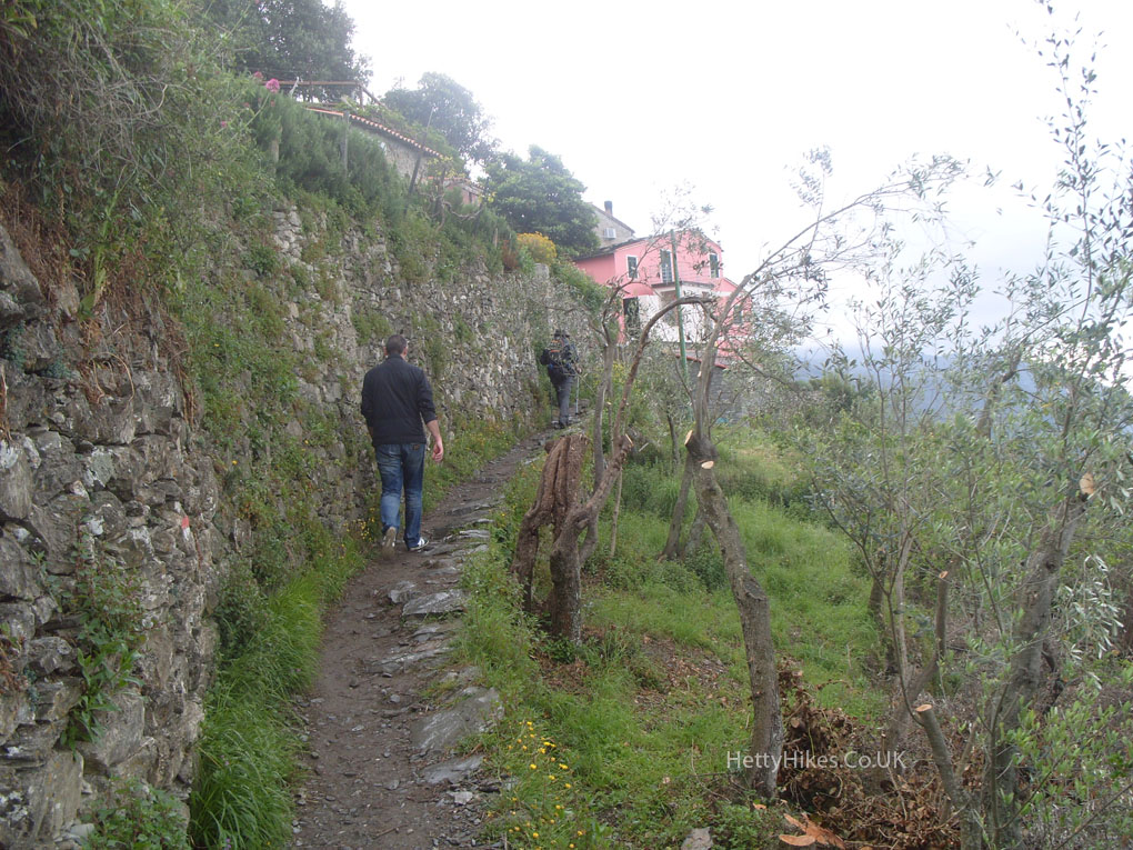
We walked past those buildings
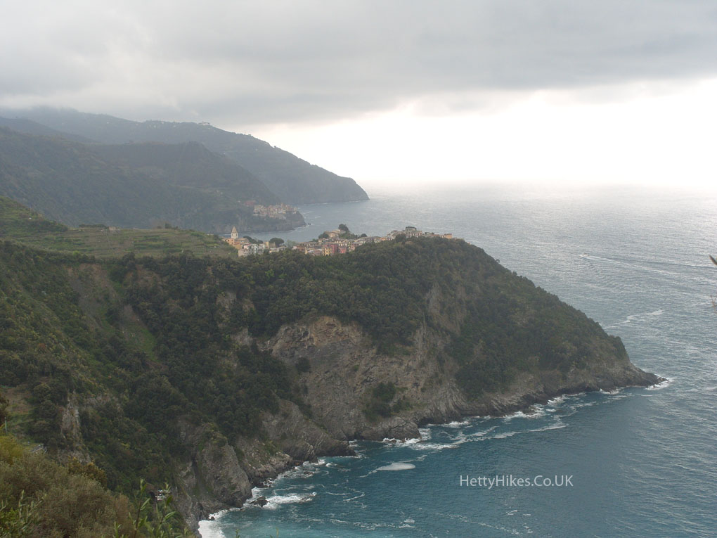
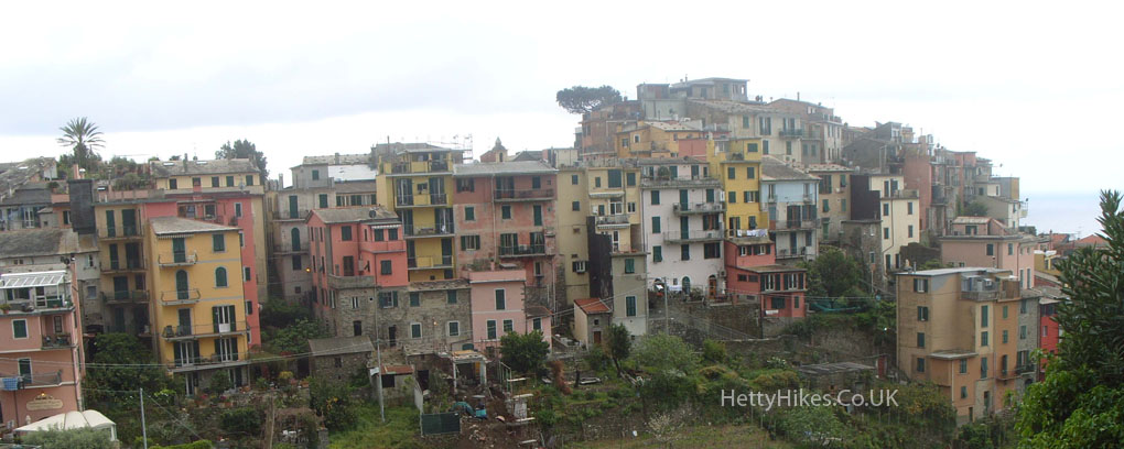
Corneglia is on a ridge about 100m high, so it is a long way down steps to the station which is nearly at sea level (on the other side)
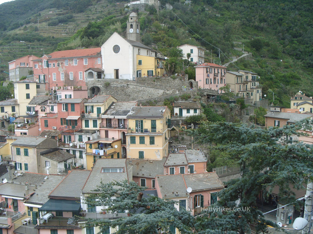
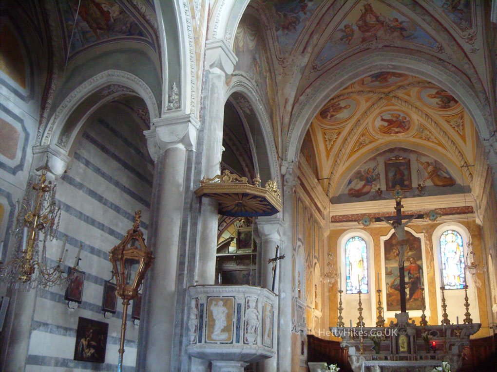
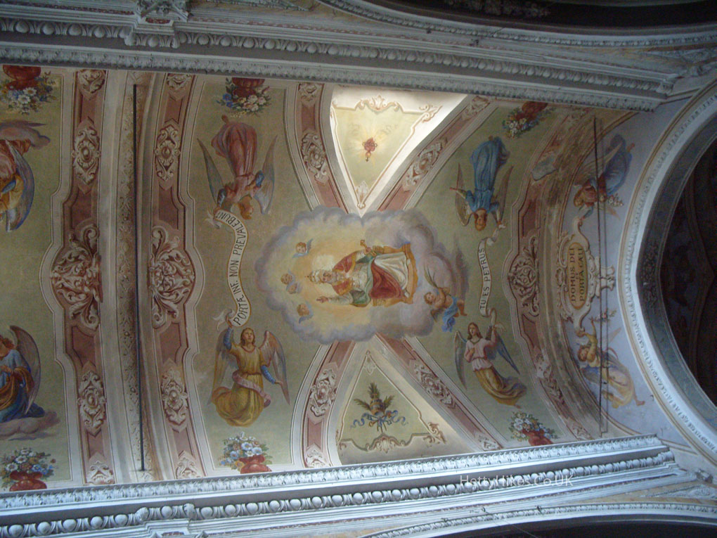
San Petro – dates from the 14th century
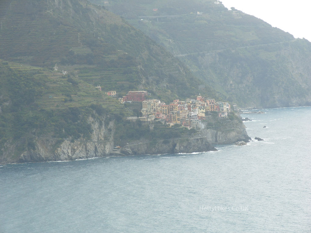
Next we took the train to Manarola