Gloucestershire
6th August 2016 Photos by Hetty
We walked from Stroud up Folly Lane, and at the end continued along the ancient track to Bull’s Cross, then down the field to Painswick, and up through the town
Map of walk nearly 4 miles
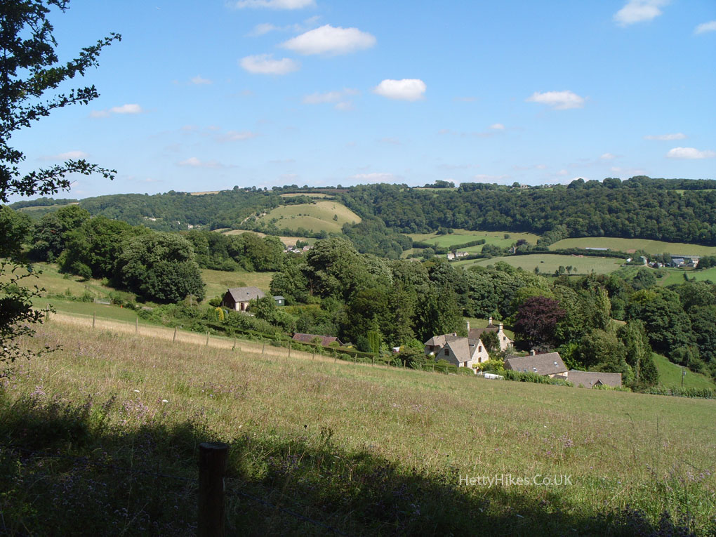
View to Swift’s Hill in the Slad Valley
Through the wood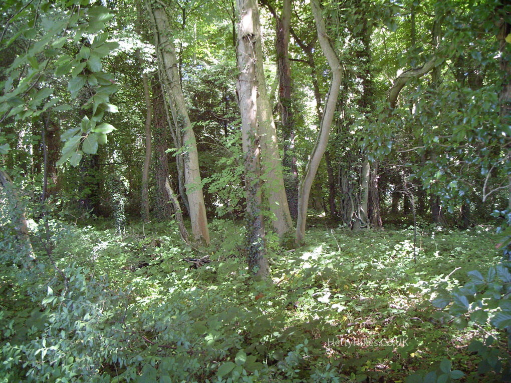
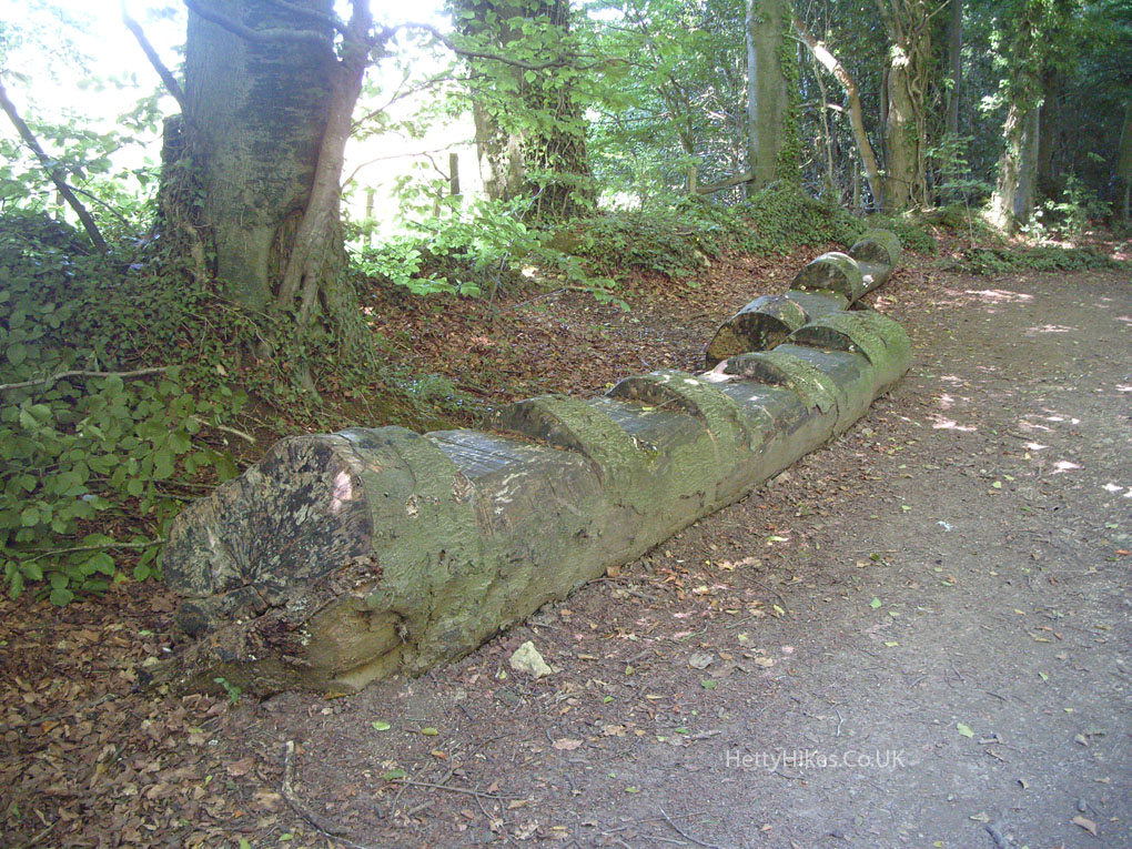
Seats at Bull’s Cross
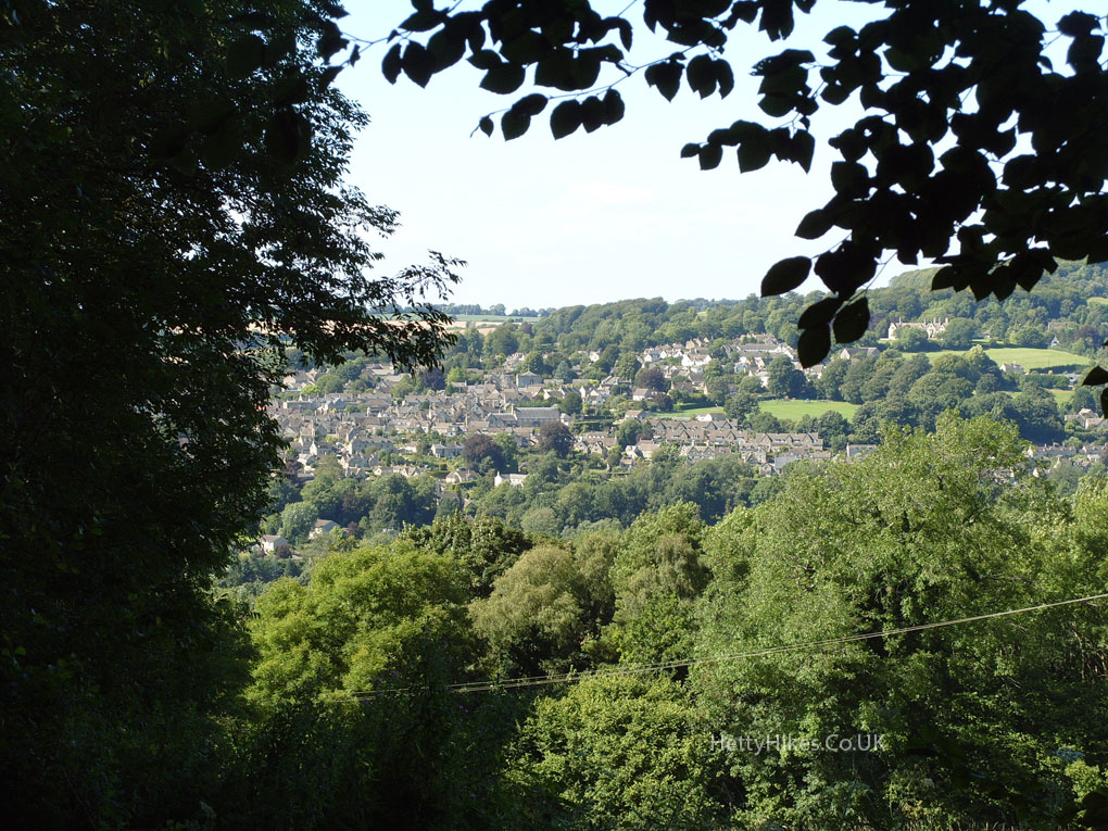
Painswick from Bull’s Cross
Getting nearer to Painswick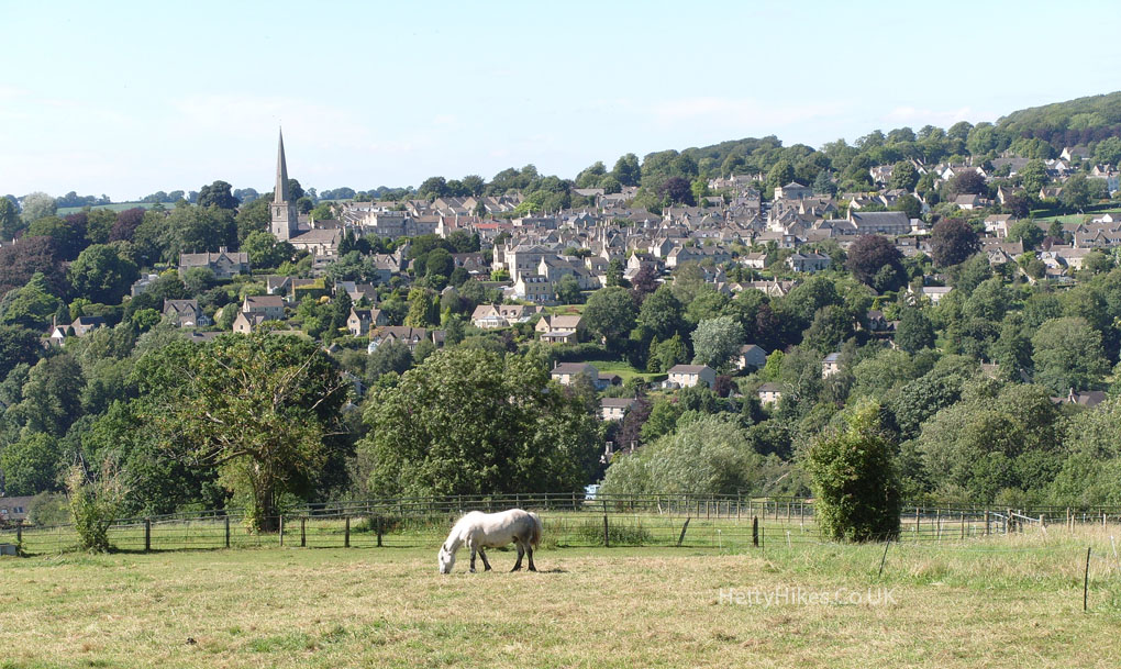
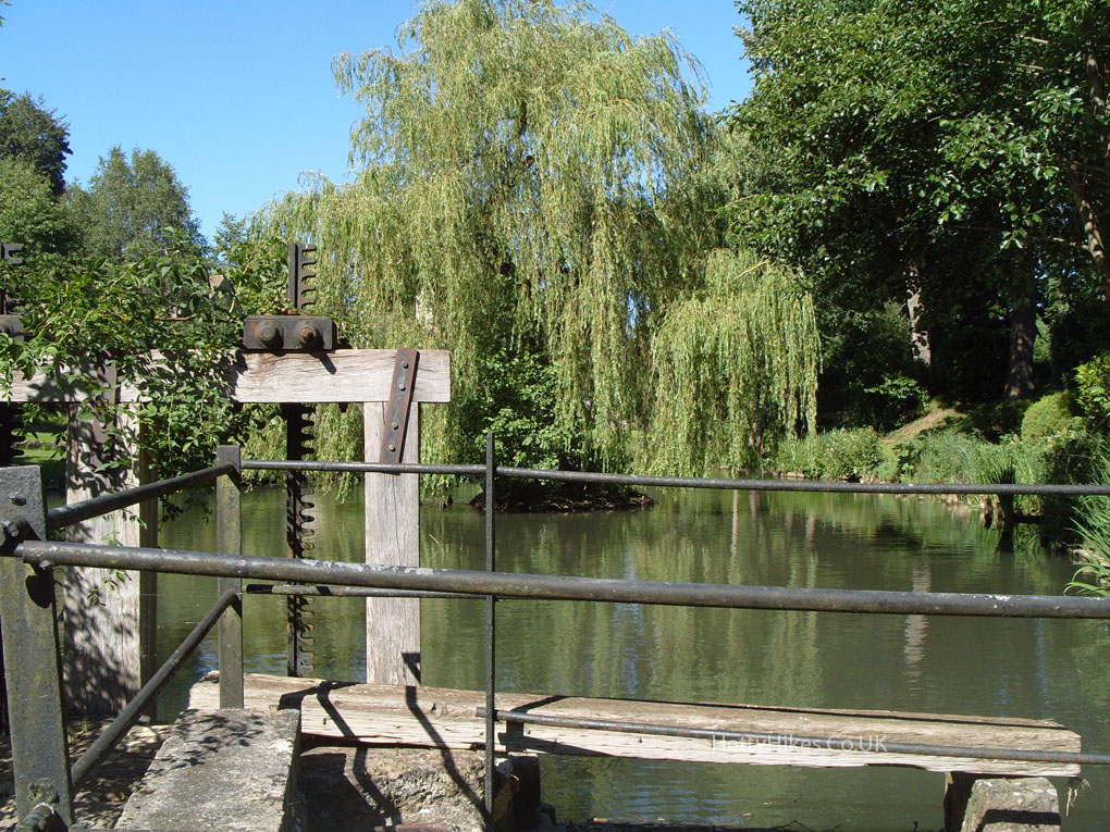
Painswick Mill’s pond, in Ticklestone Lane
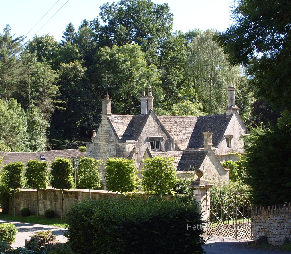
Painswick Mill
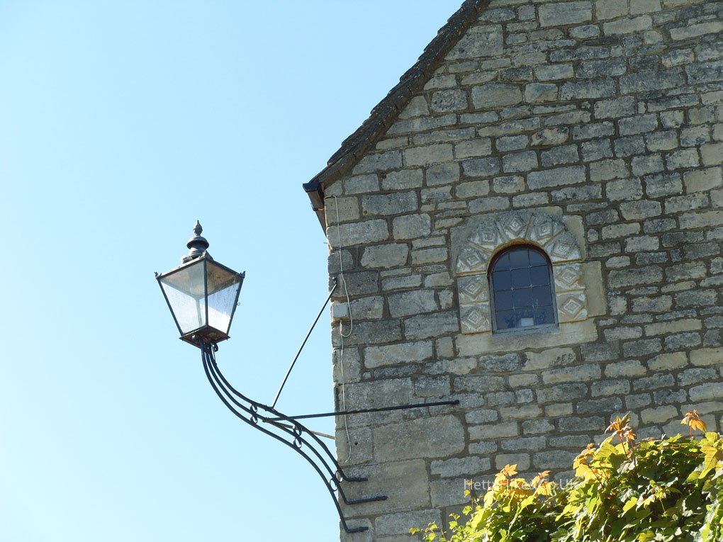
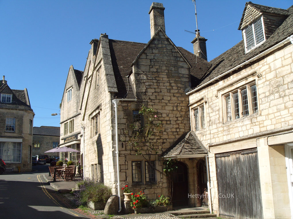
Tibbiwell Lane
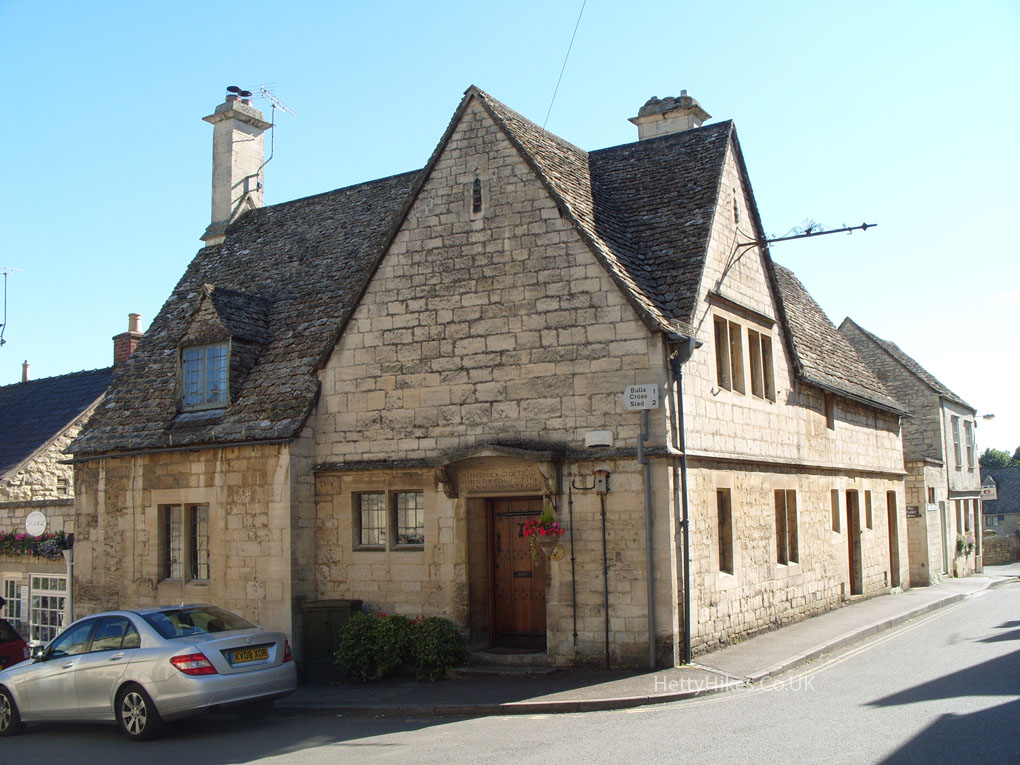
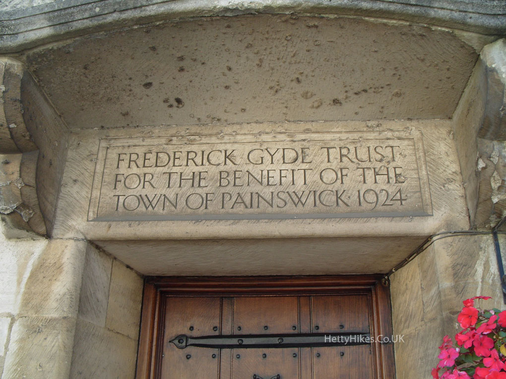
This was the Public Bath House until 1977
Catholic Church 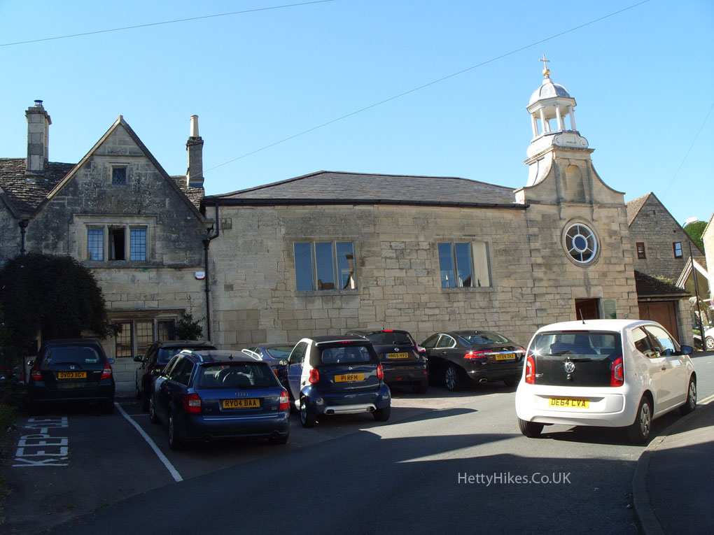
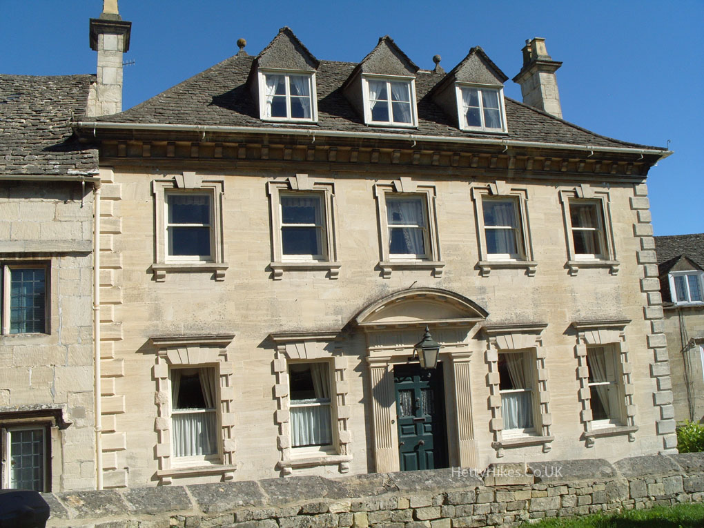
Now a hairdresser, once the New Inn, then a police station among other uses
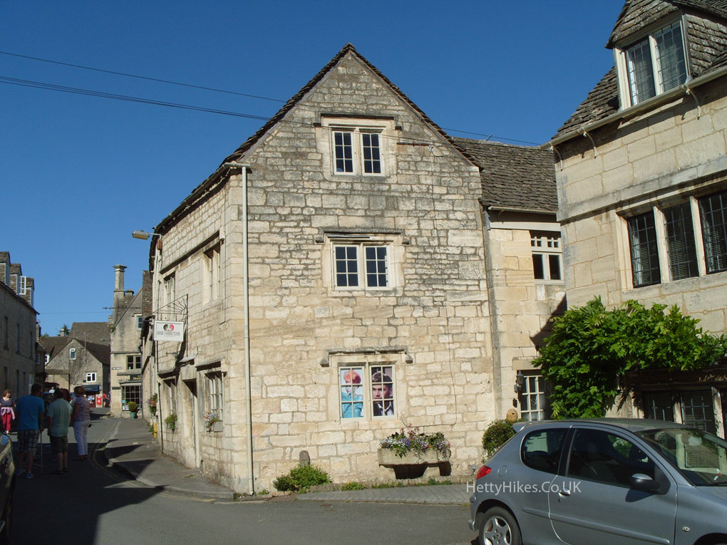
St Mary’s Lane
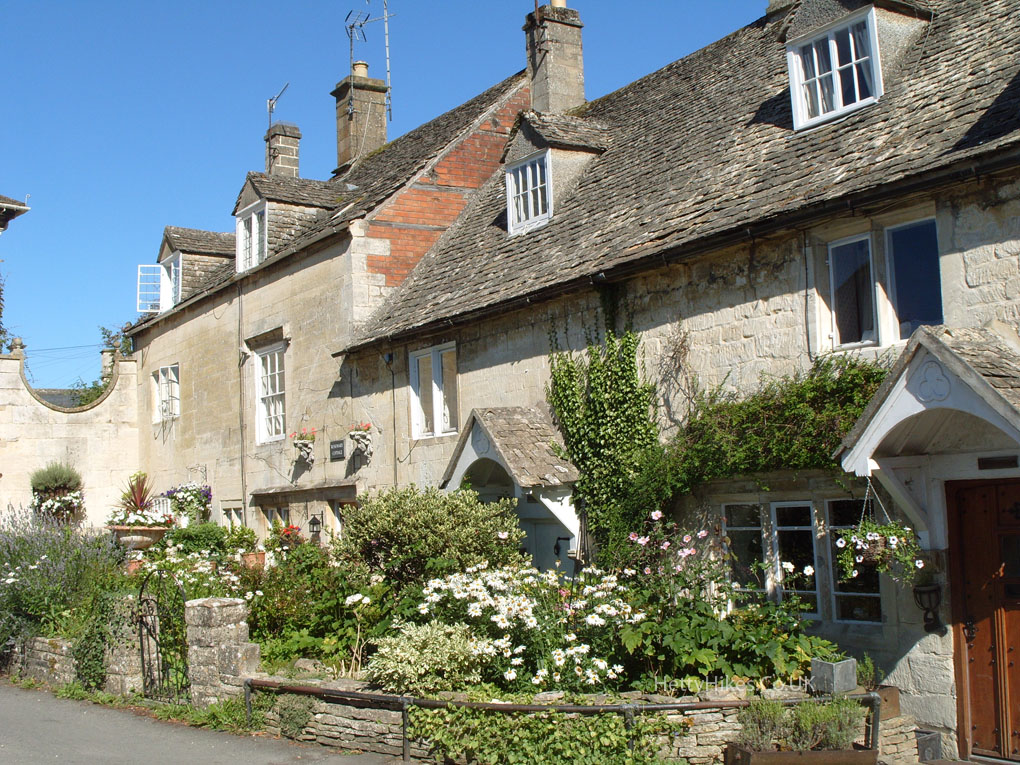
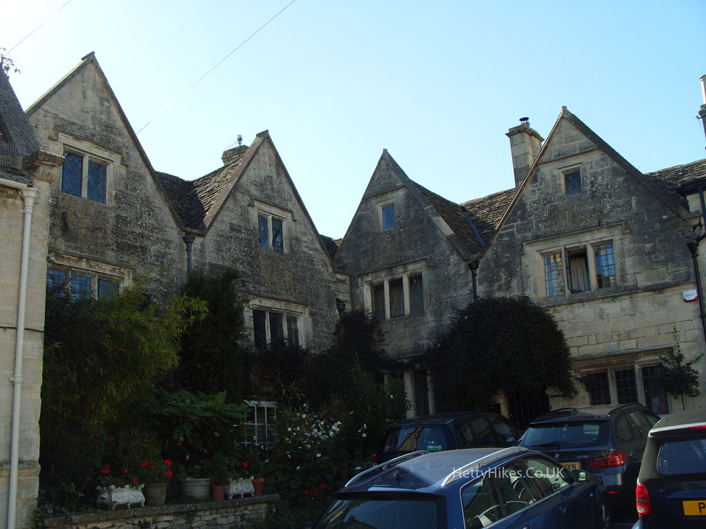
Loveday’s House, 18th century
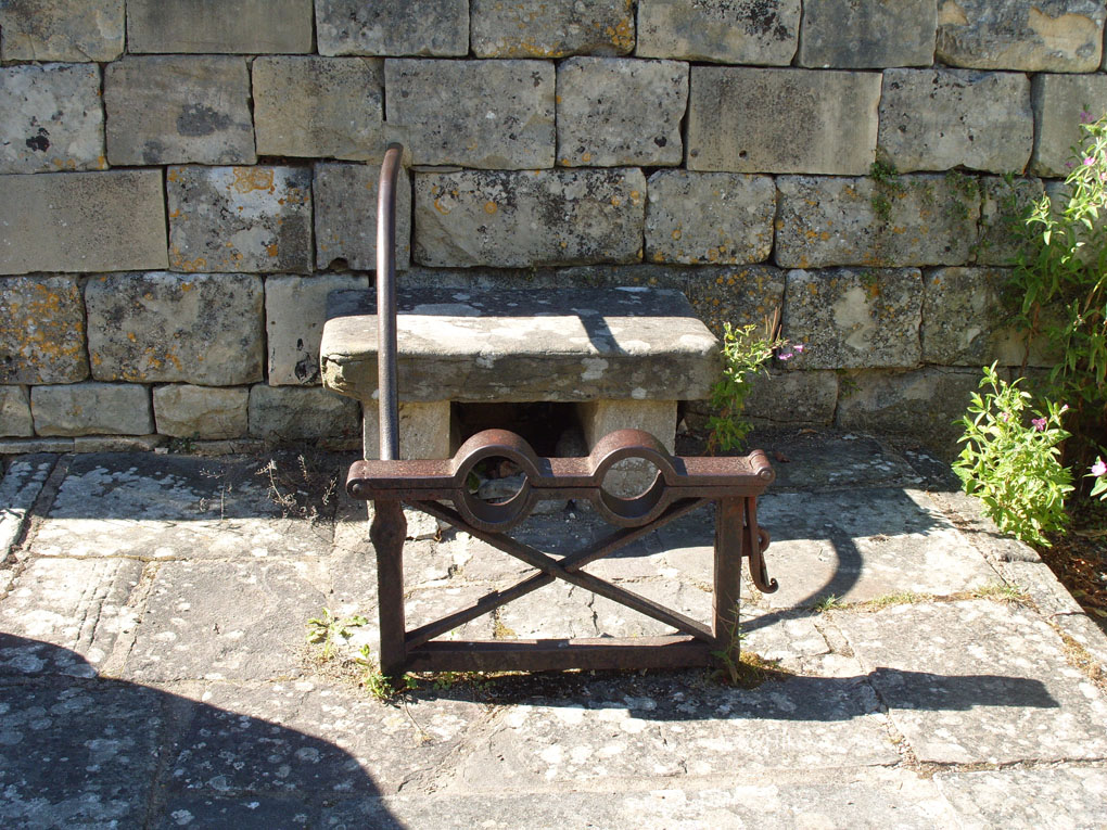
17th century spectacle stocks
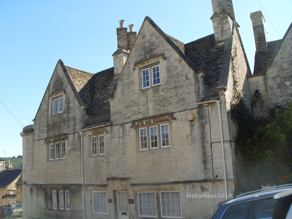
The Court House 1604
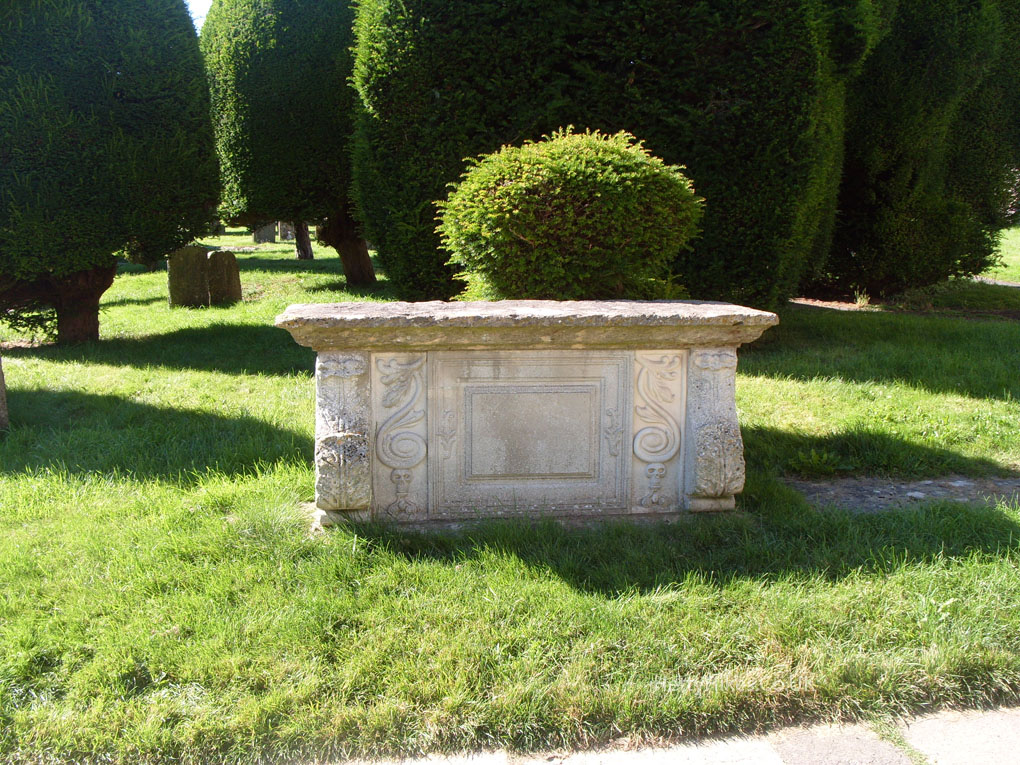
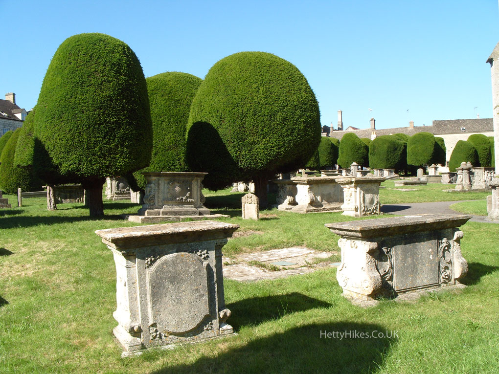
The churchyard is famous for its yew trees and table top tombs
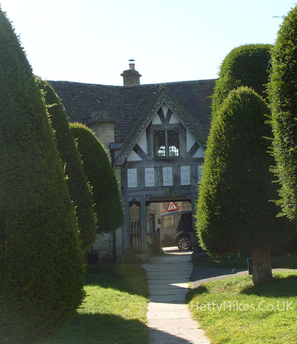
The Lych Gate
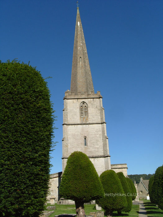
St Mary’s
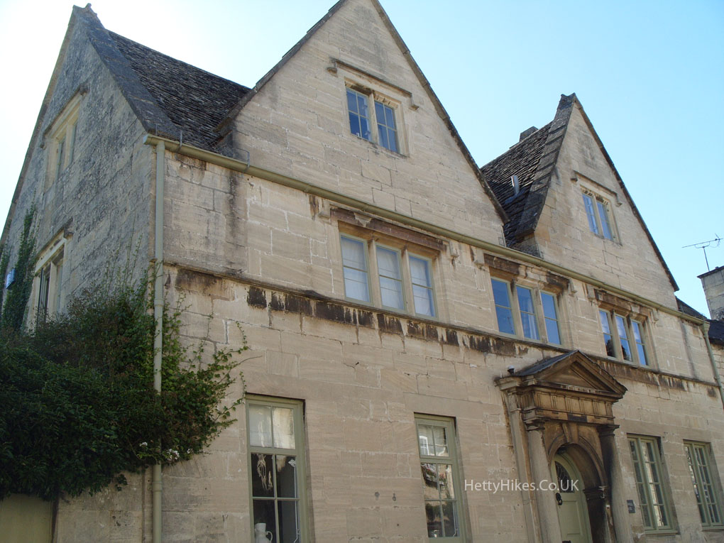
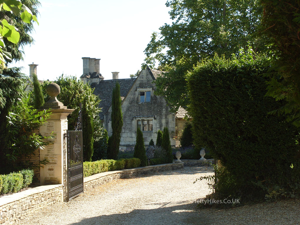
 Nearby
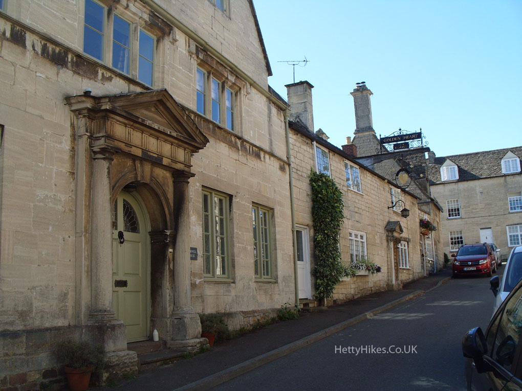