Val Gardena, Dolomites, Italy map of Val Gardena Start of Val Gardena holiday
17th June 2014, day 12 All photos by Hetty
We took the cable car from St. Ulrich to Seiser Alm – see yellow cross, then walked track 6a to Icaro Hutte, track 3a to Compatsch 1844m, down to 1727m, and up a chairlift to Spitzbuhl 1935m, track 5 to Panorama 2009, track 6 to Ritsh 1841m, track 6b then 6 to Sanon, Sole, and back up to Mont Seuc 2005m = 6,500ft to catch the cable back down to St Ulrich.
Yellow marks the walk. Total distance 11.5 miles Total time 6h.5 hours.
The walk was relatively easy, but it was steep to return to the cable car and the chair lift was not open until the following week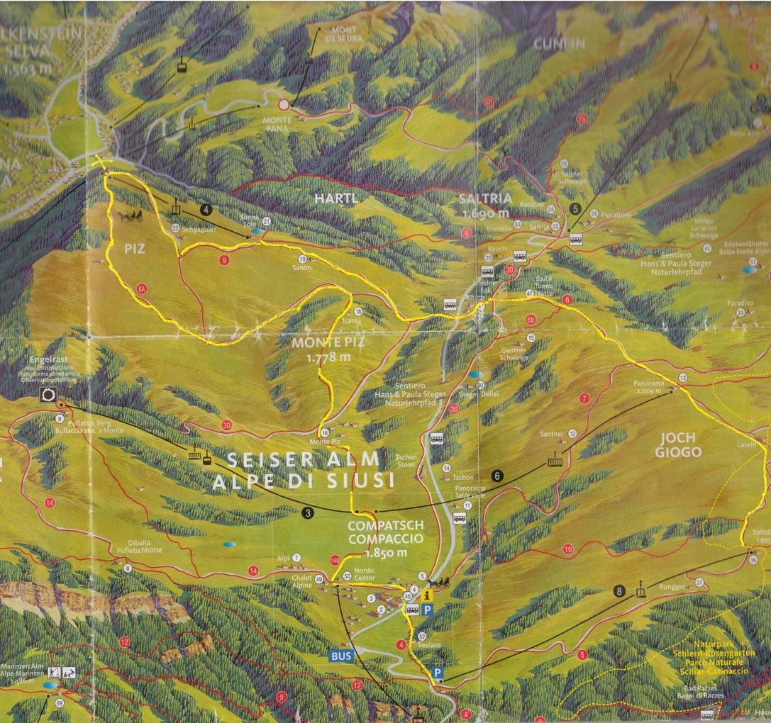
Map of walk part 1 Map of walk part 2
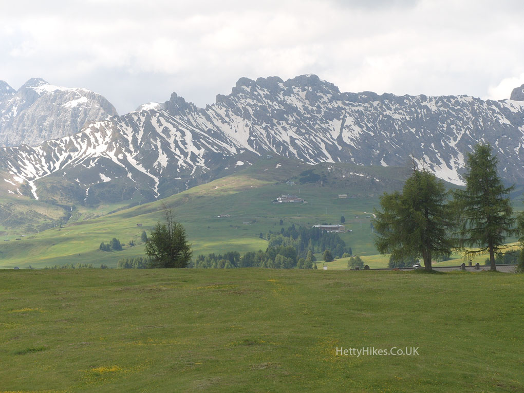
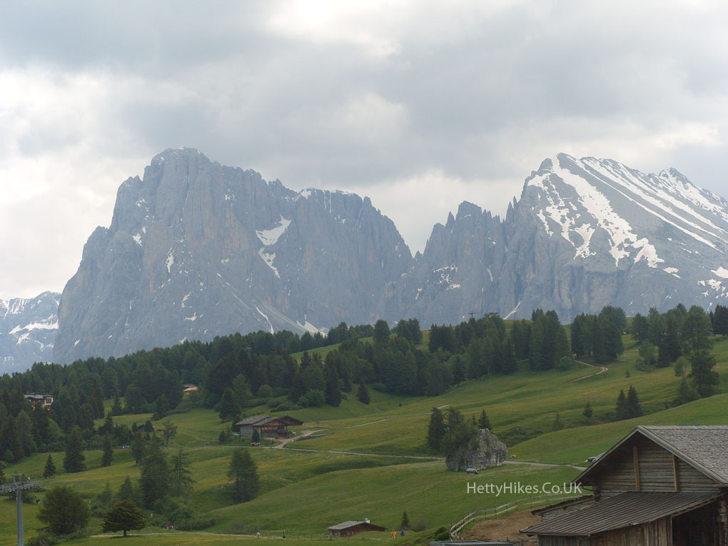
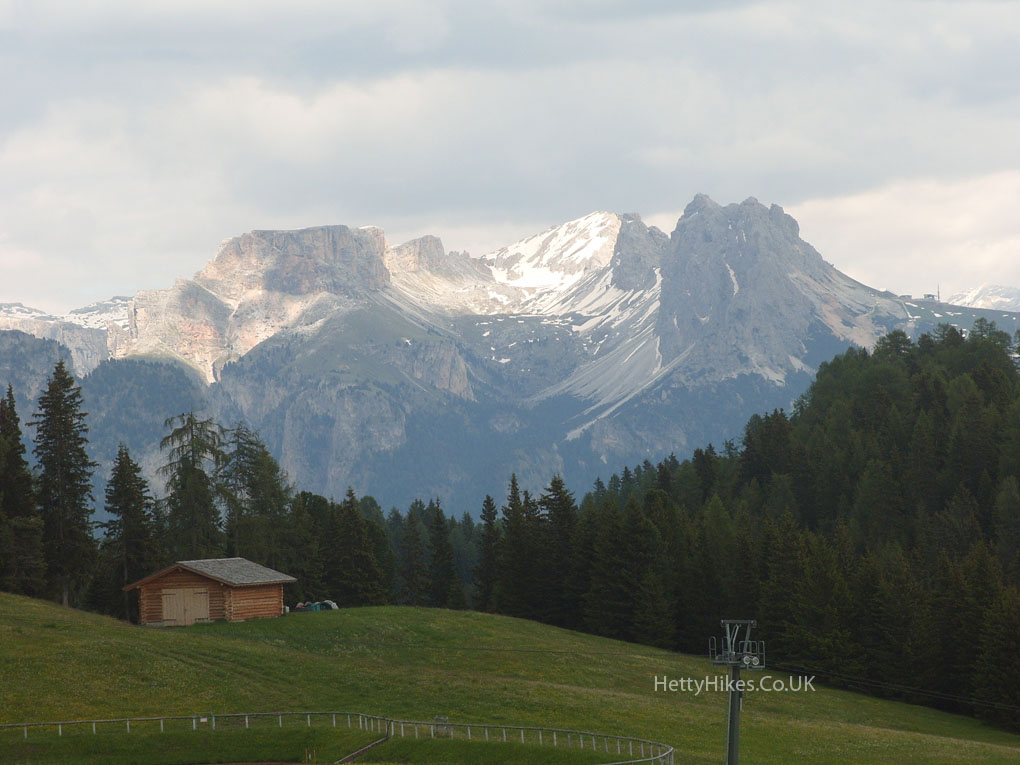
This is Schlern = Sciliar. We are heading for Compatsch – see arrow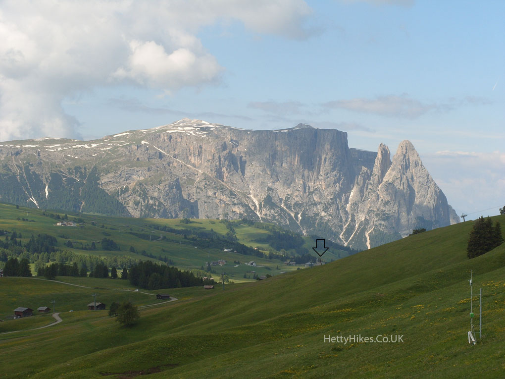
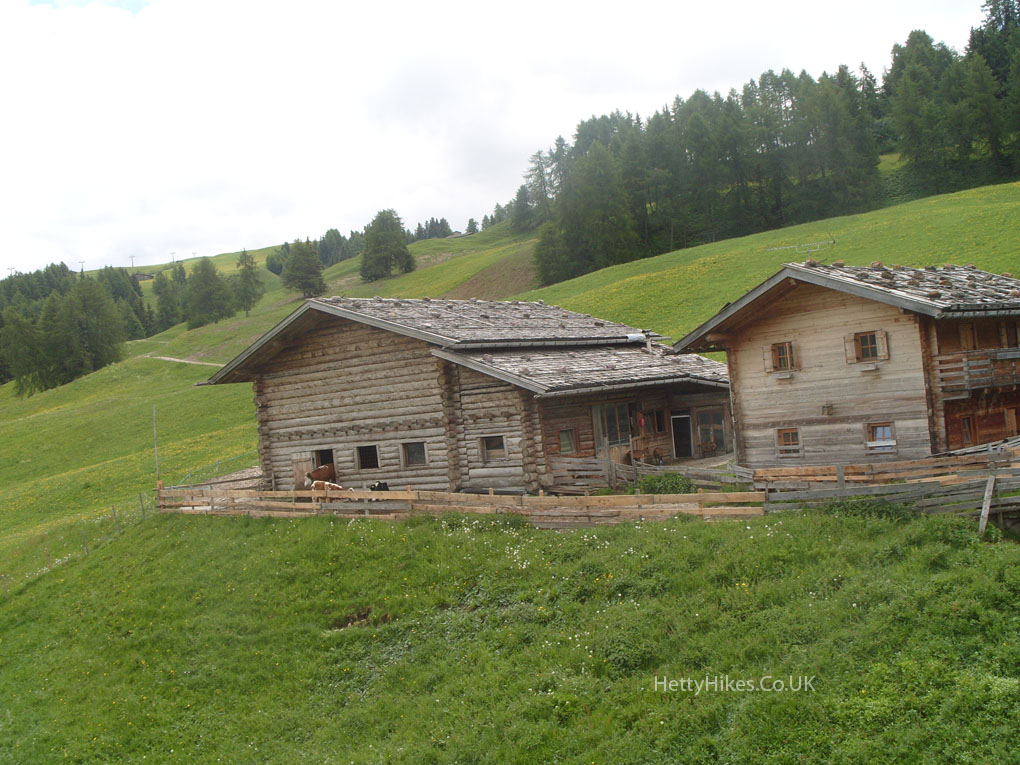
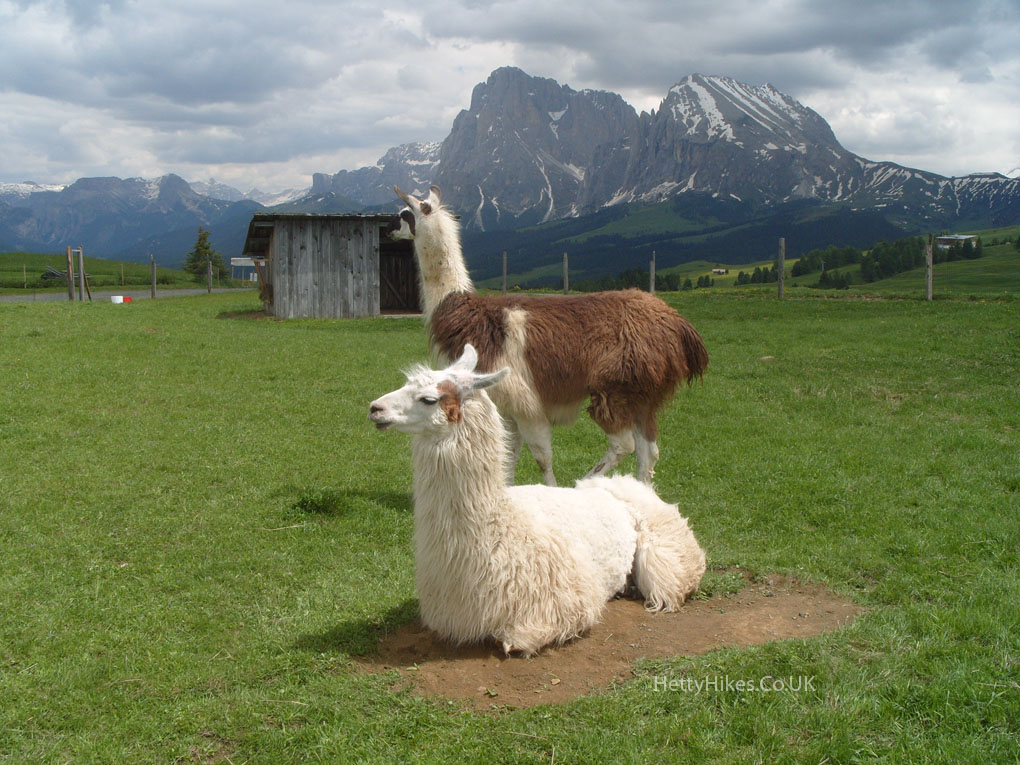
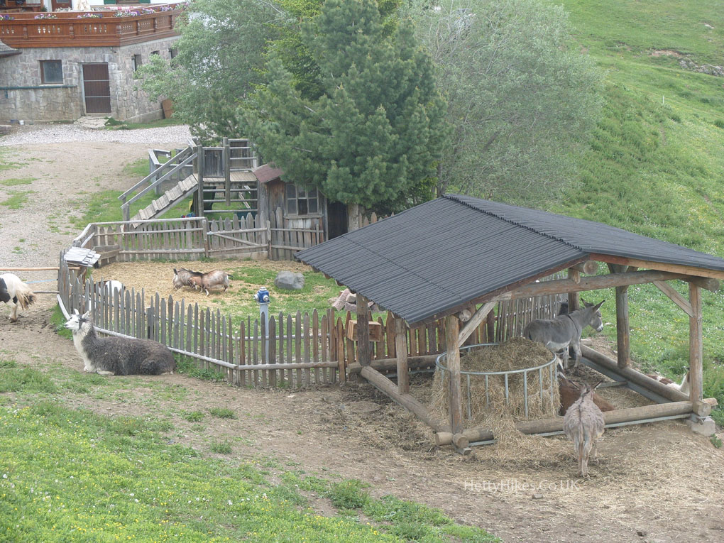
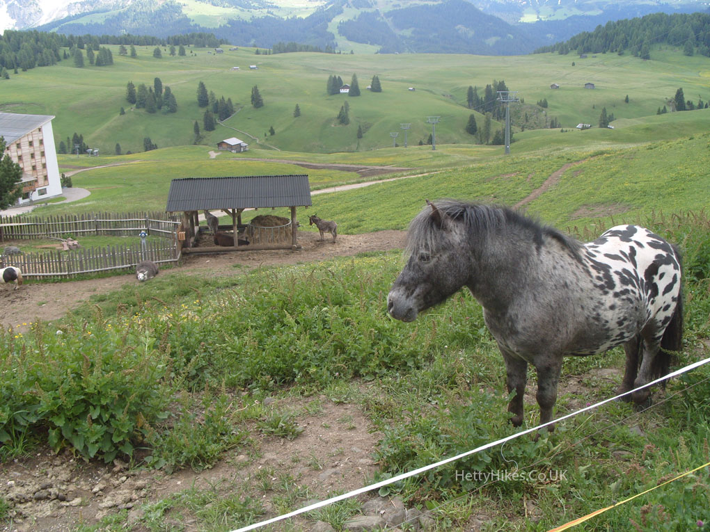
No cars are allowed up here in summer, but there are horses and buses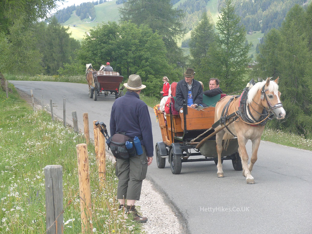
Grey cows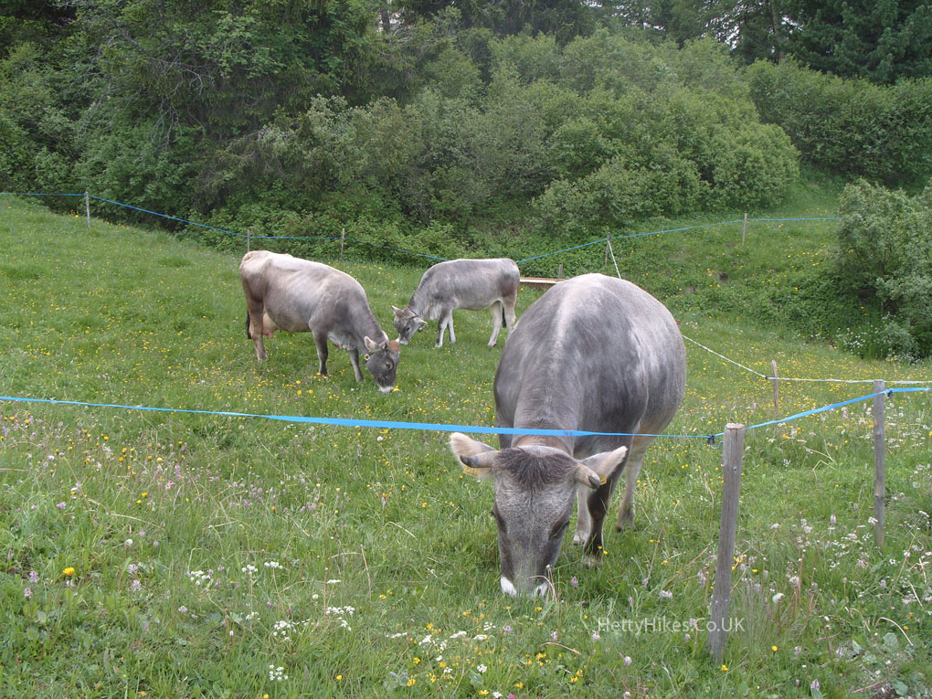
We took a handy chairlift – looking back to Compatsch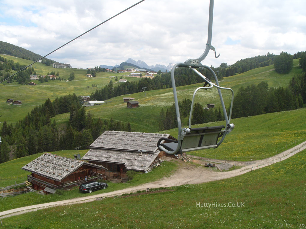
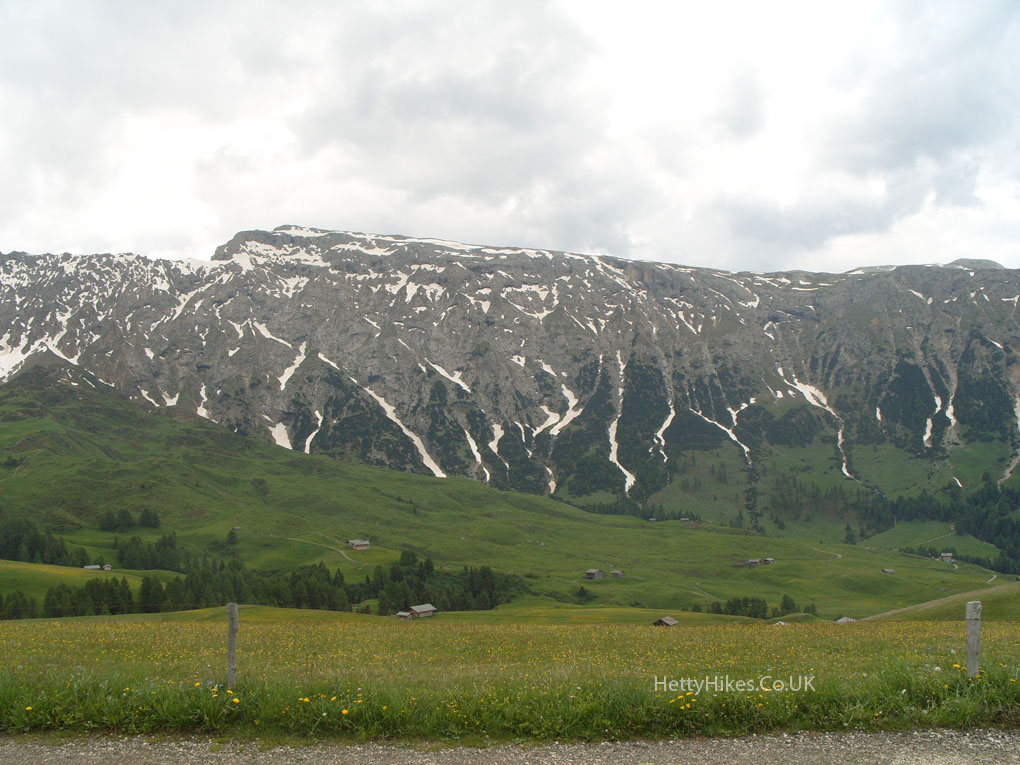
You can see why we took the chairlift instead of walking up here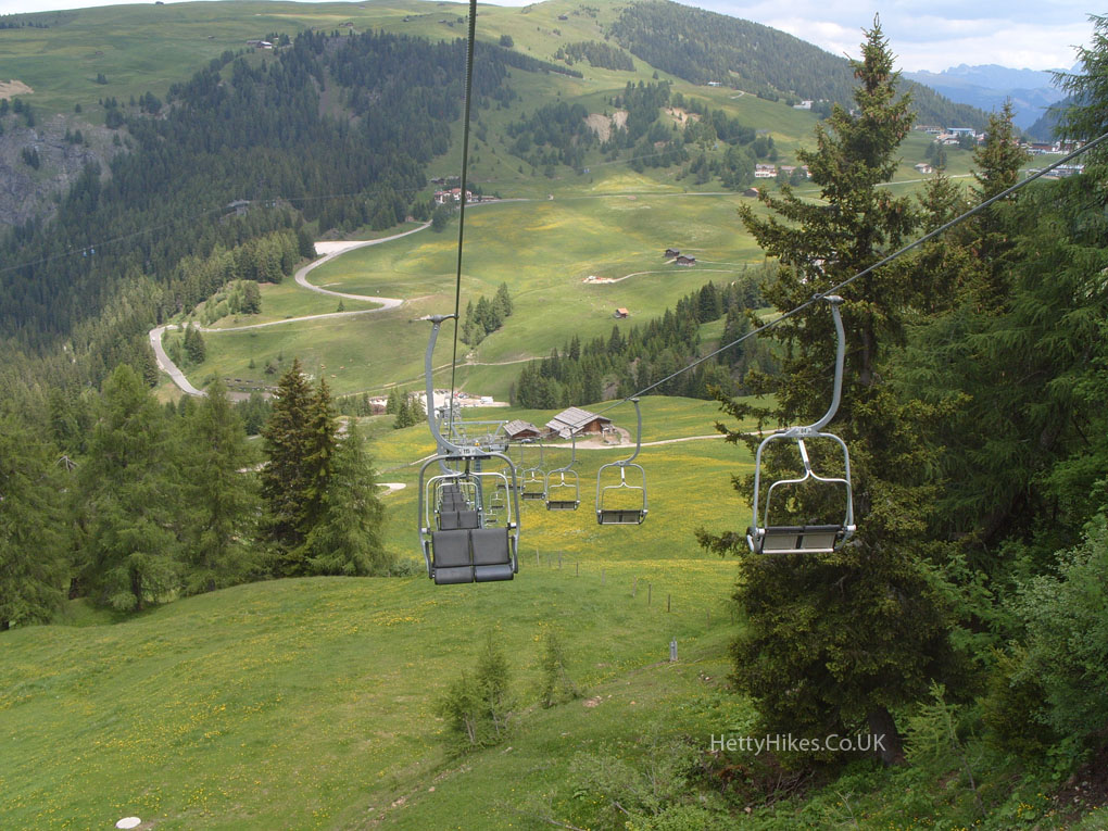
We started at the arrow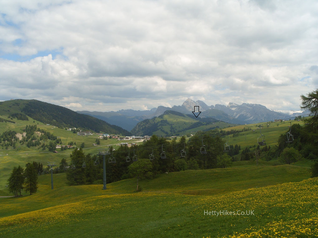
We have to get back to the cable car station (arrow)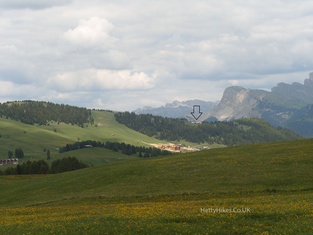
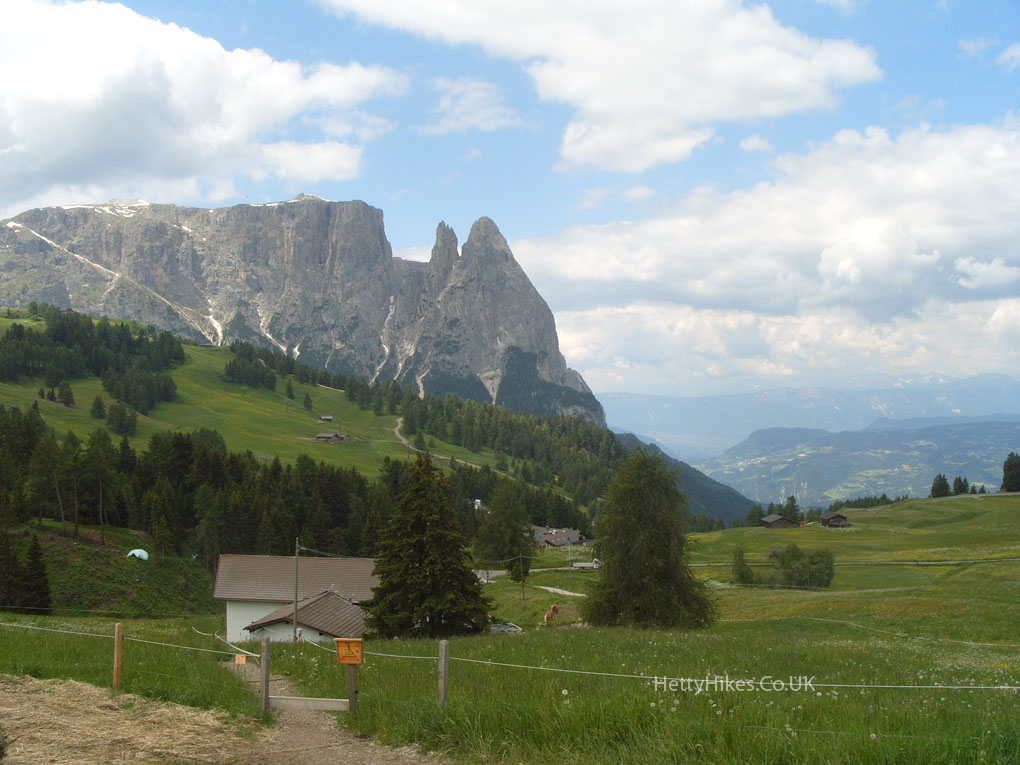
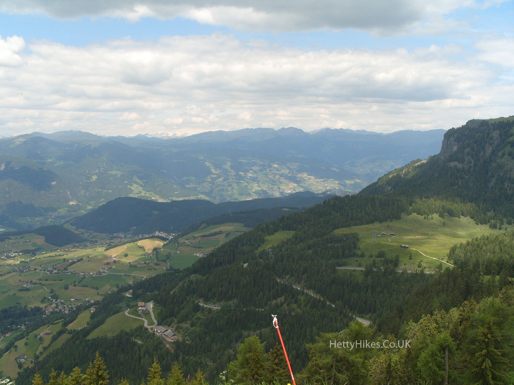
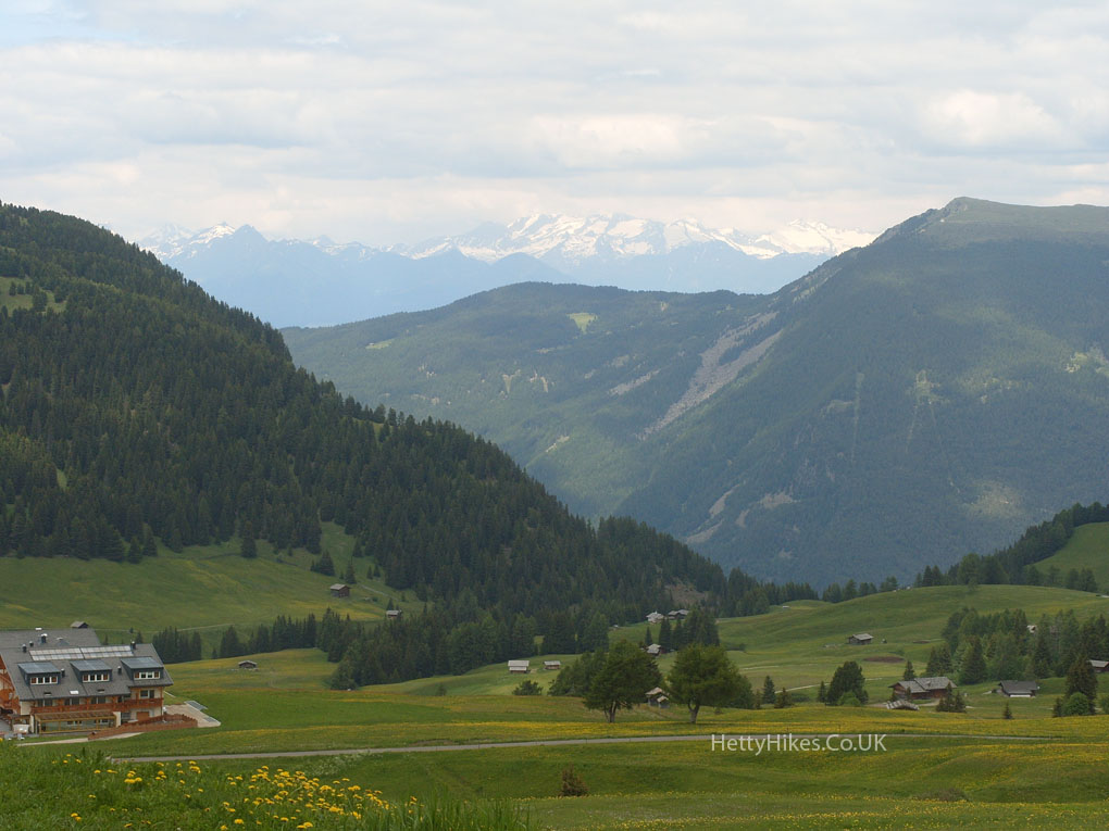
That is Secada where we were yesterday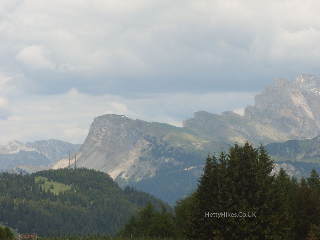
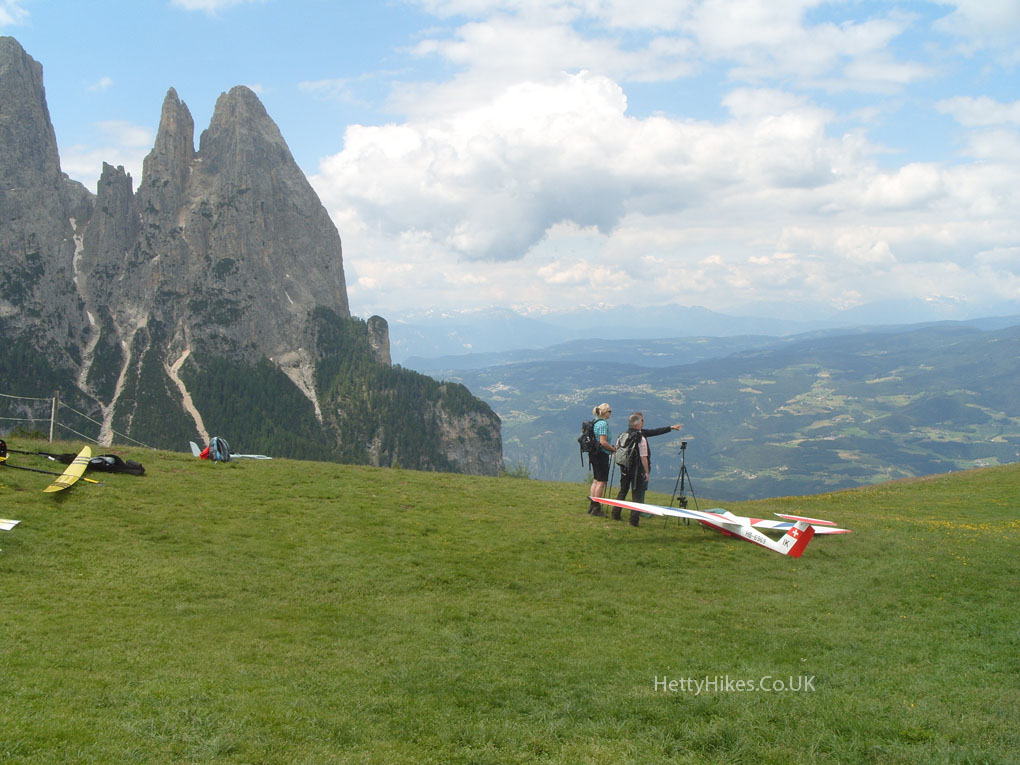
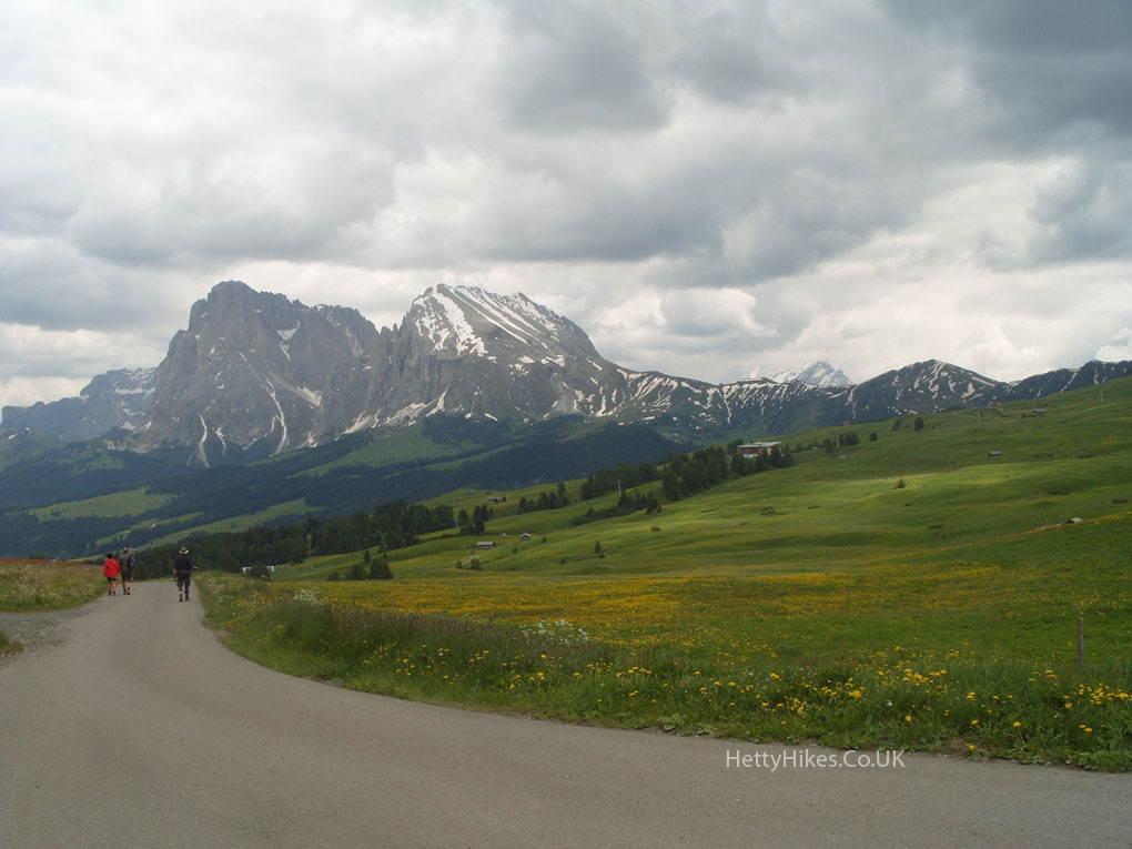
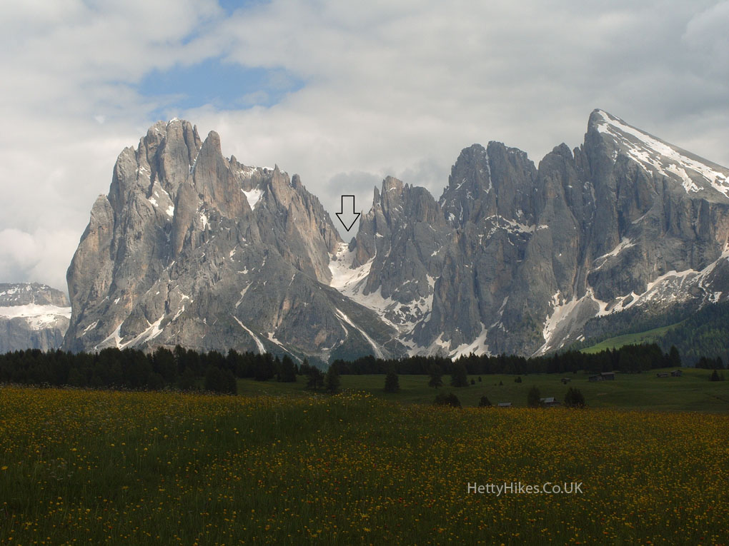
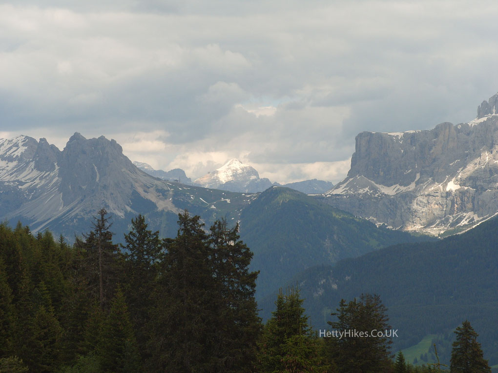
Sassolungo – tomorrow we will go around the back and take a cable car to the arrow
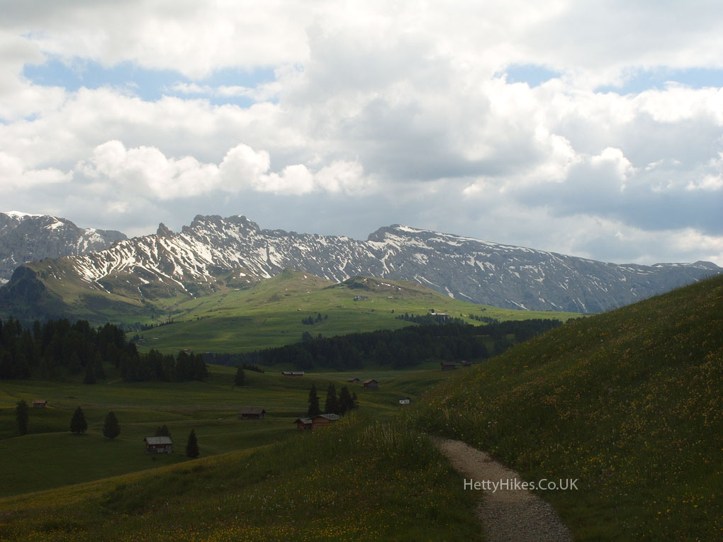
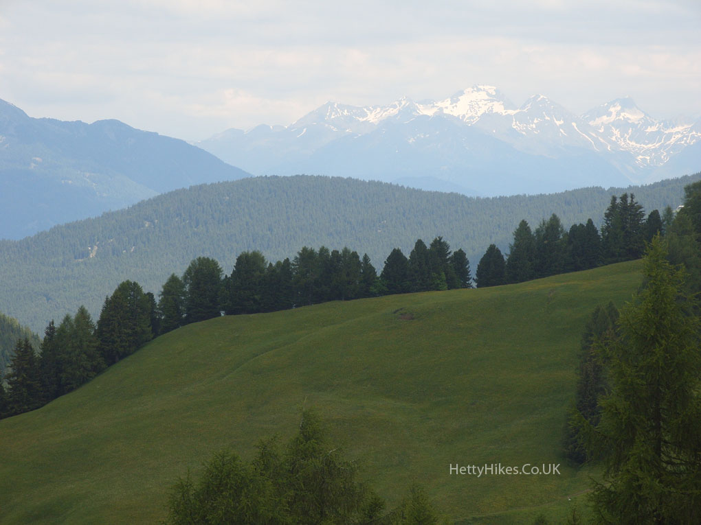
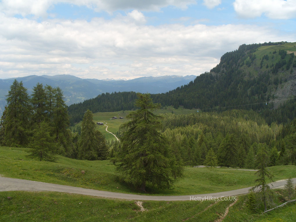
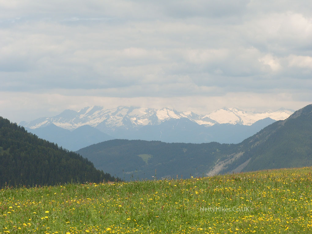
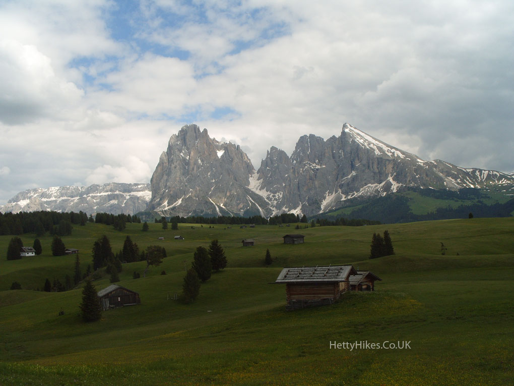
Looking back at where we have been today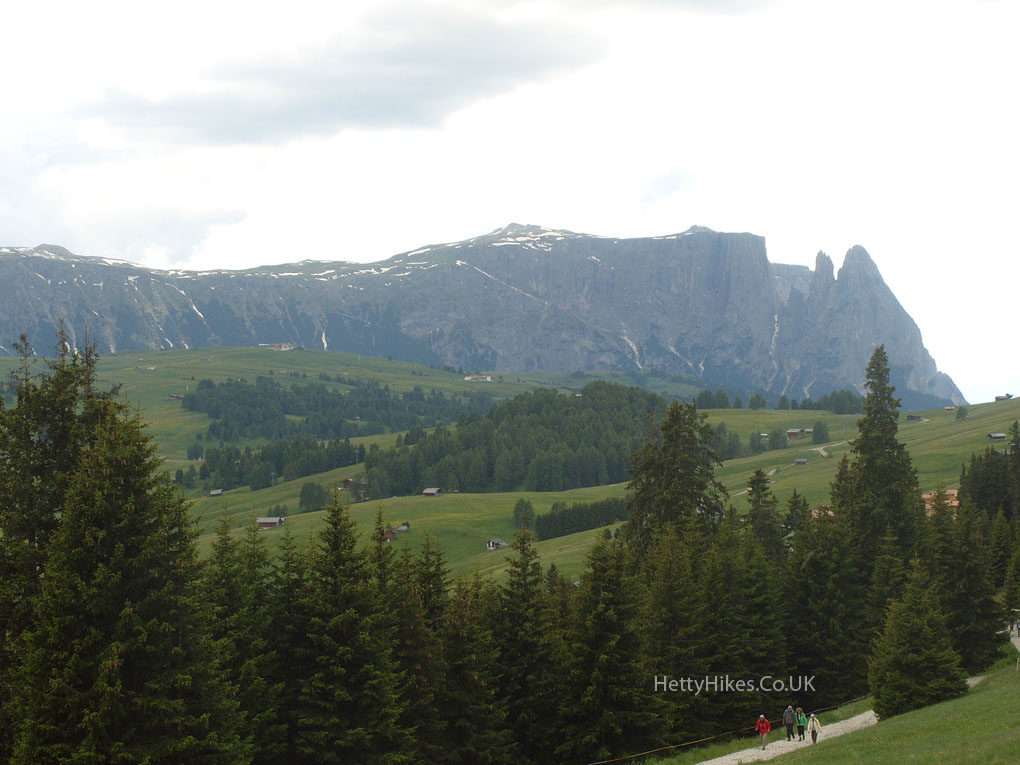
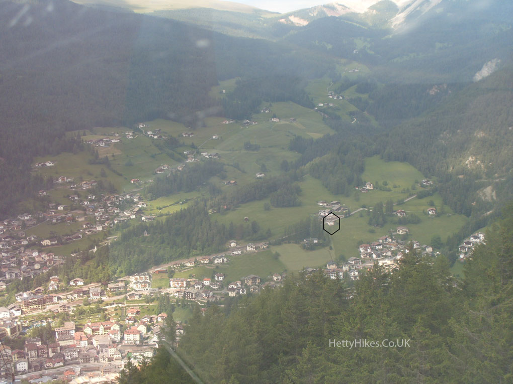
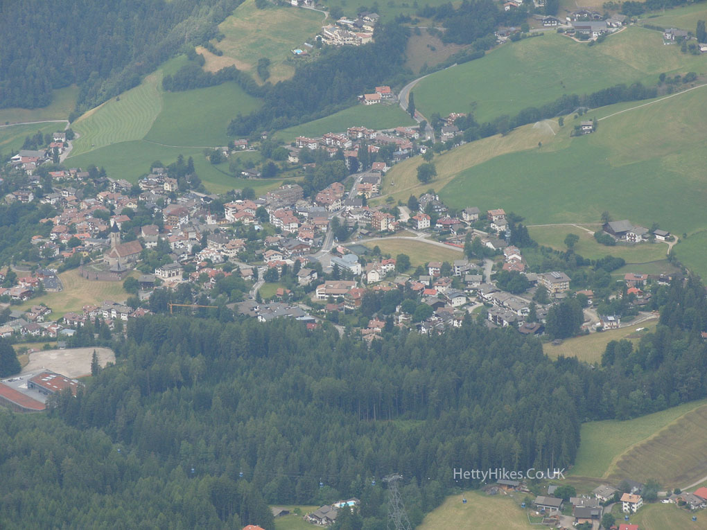
St Ulrich – with our house marked