Malta
5th May 2015 Map of Malta All photos by Hetty
Today we walked down this south-west coast of Malta. (Photo taken on our flight home)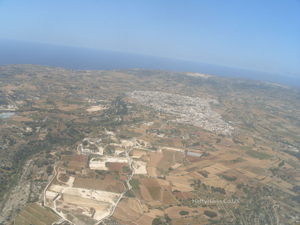
We went by bus to the Dingli Cliffs, where a young lady was carrying the same leaflet as us, so we walked together.
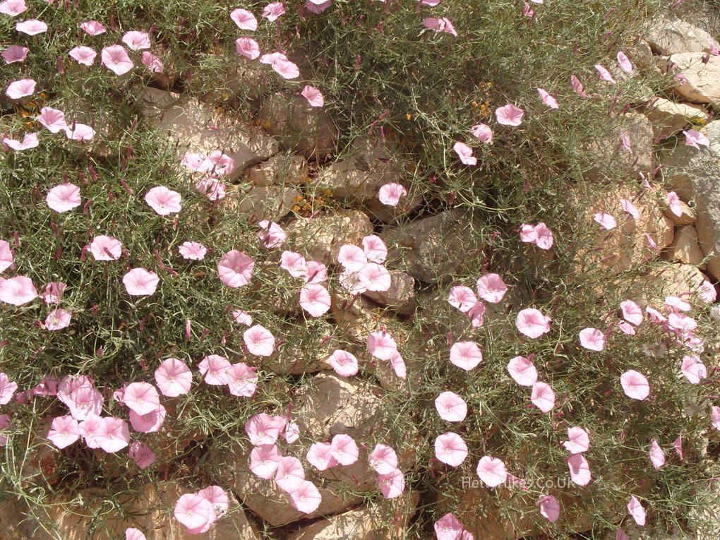
11.2m = 7 miles, a lovely walk with wonderful views. It was very hot, but there was a welcome breeze and it was mainly downhill.
A small church on the cliffs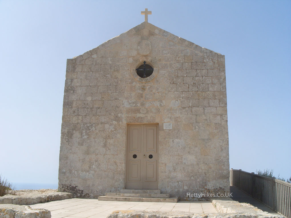
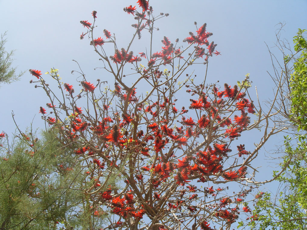
There are fields below the cliffs, and the islet of Filfa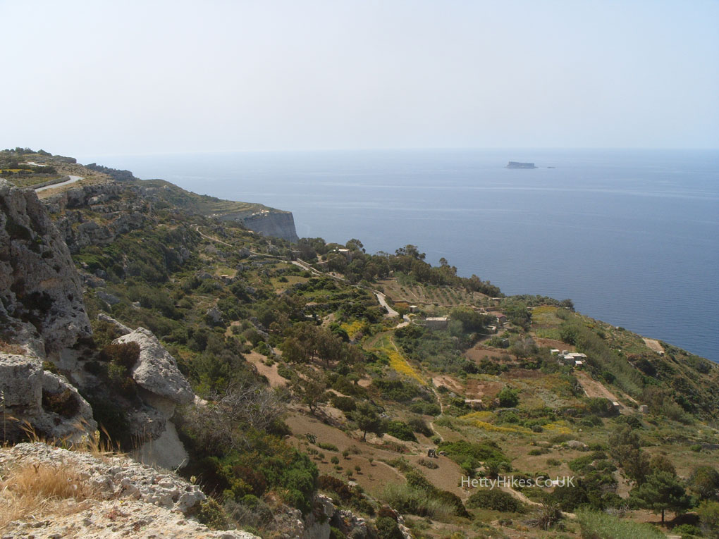
Mr H and prehistoric cart tracks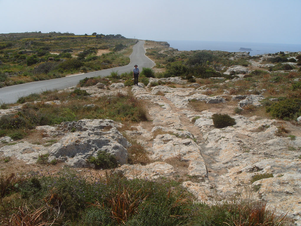
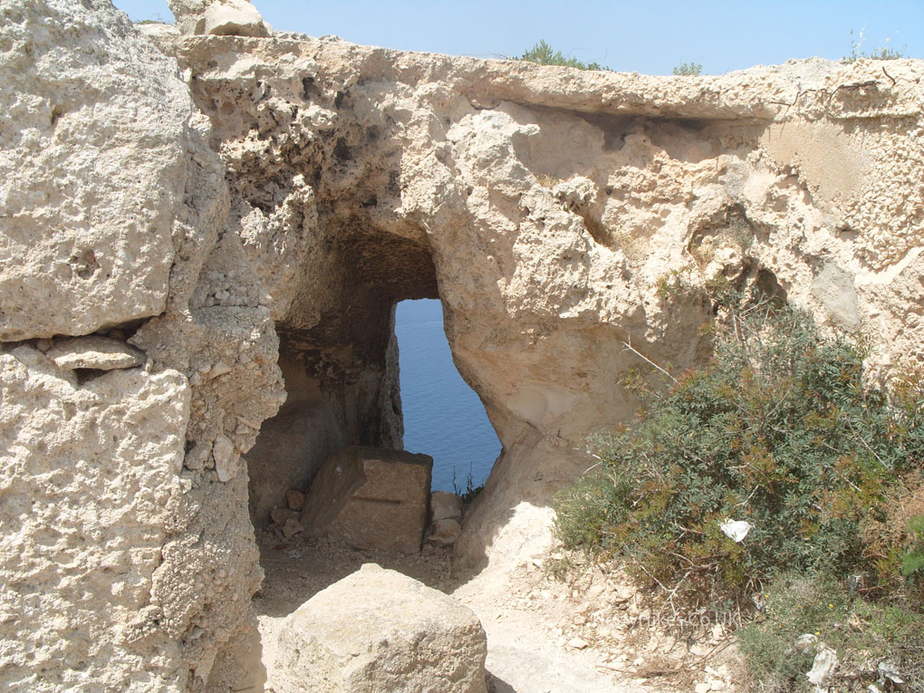
At the tip of a headland is a Bronze Age village site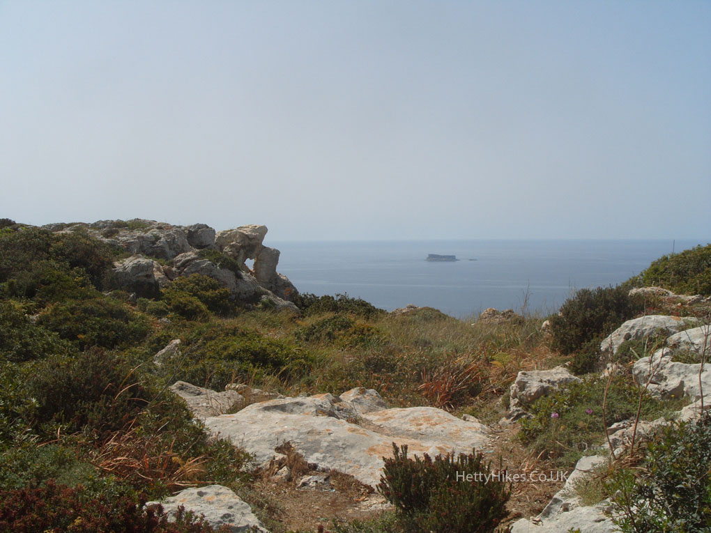
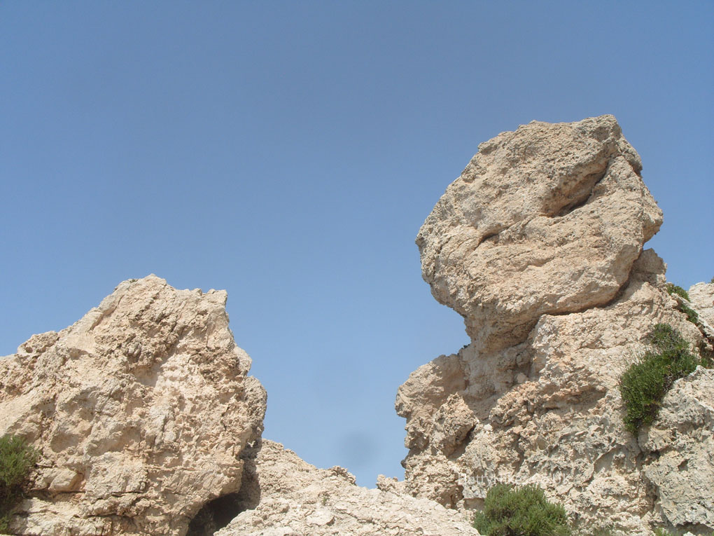
There are several holes, maybe used for storage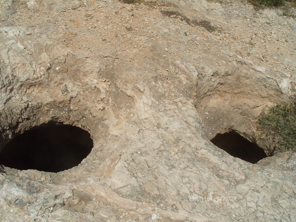
Looking back to the radar station where we started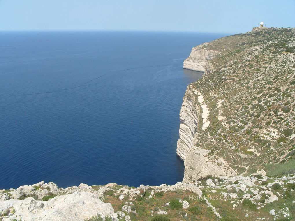
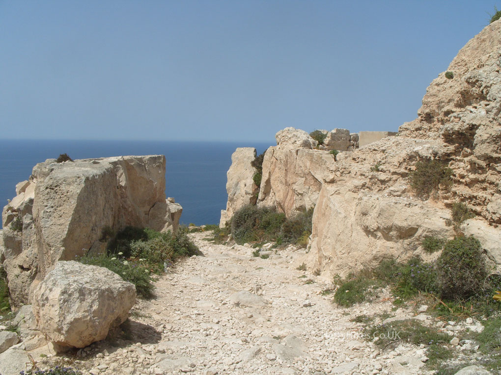
We are going to wind our way down the side of the cliff and take that path below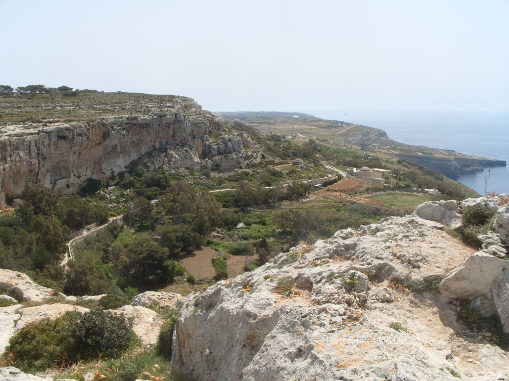
We were up there just now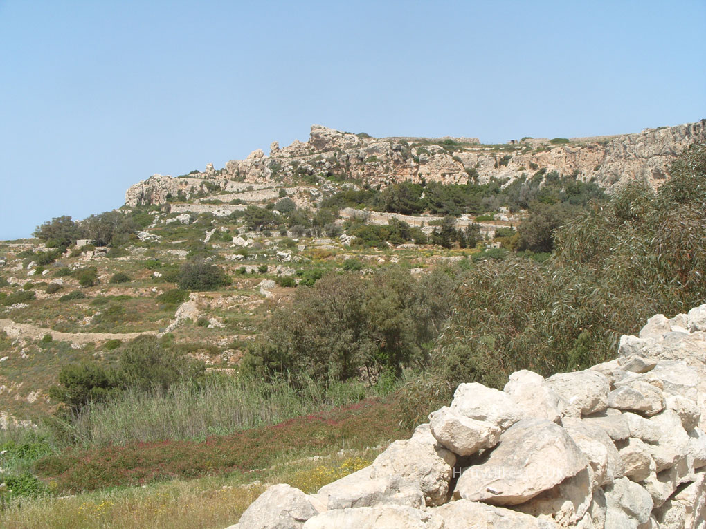
19th century aqueduct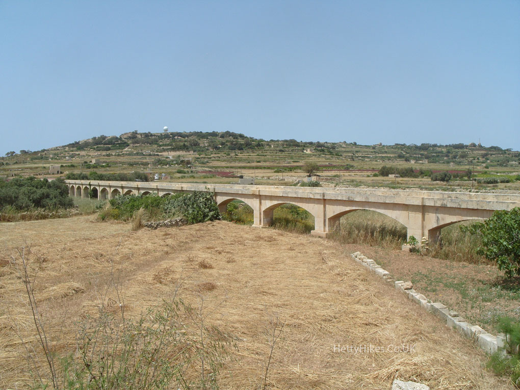
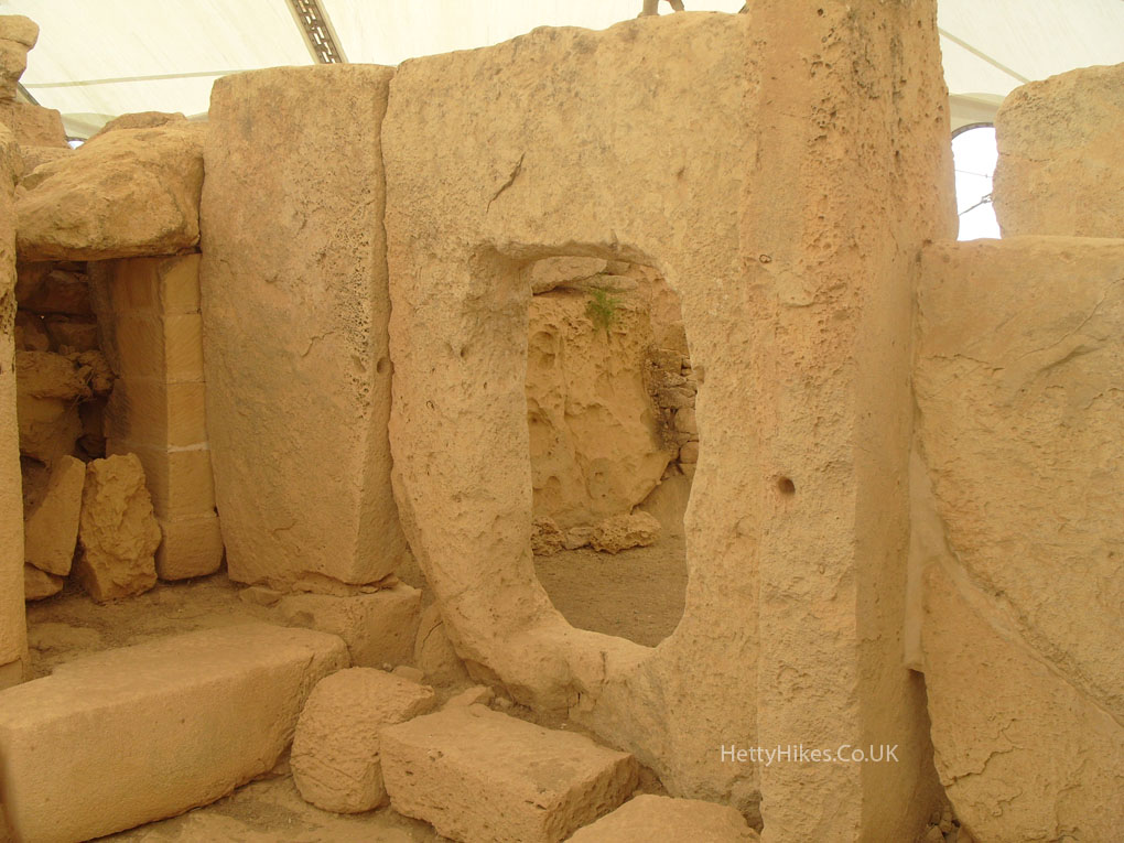
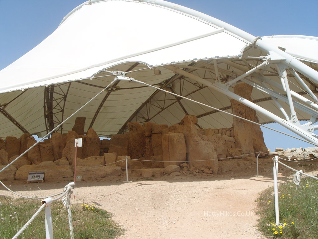
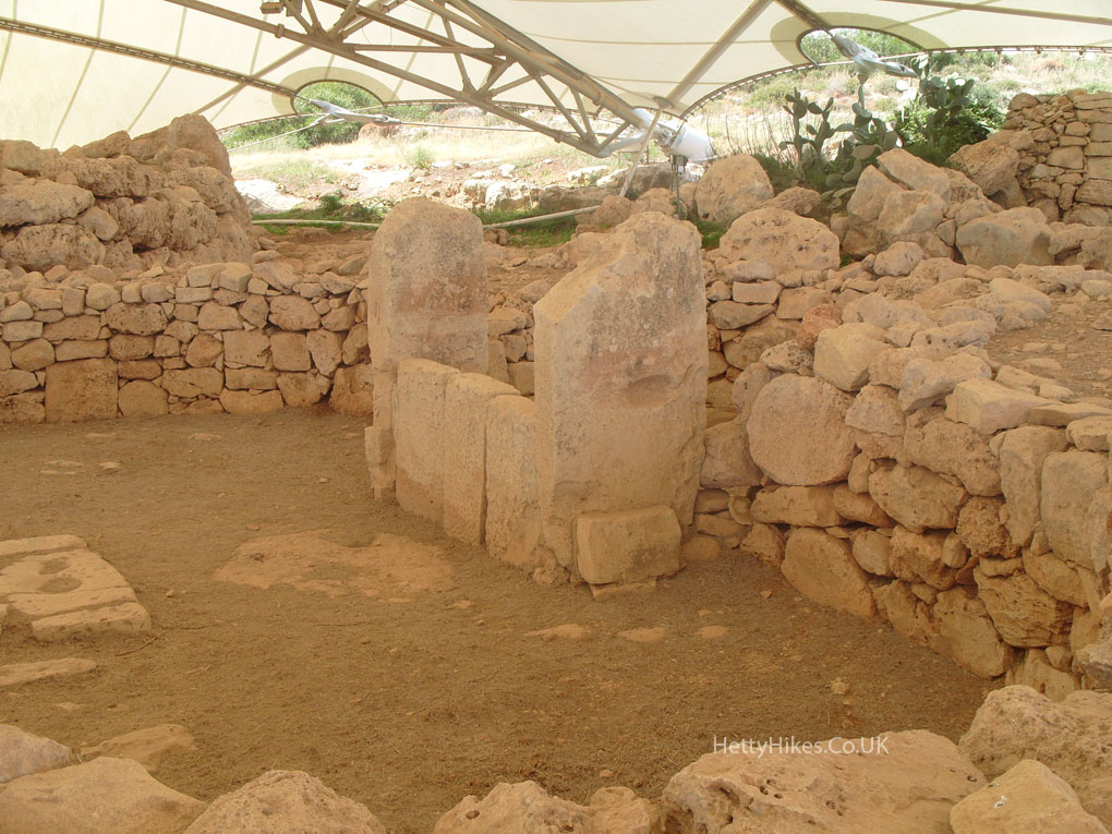
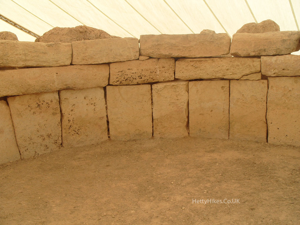
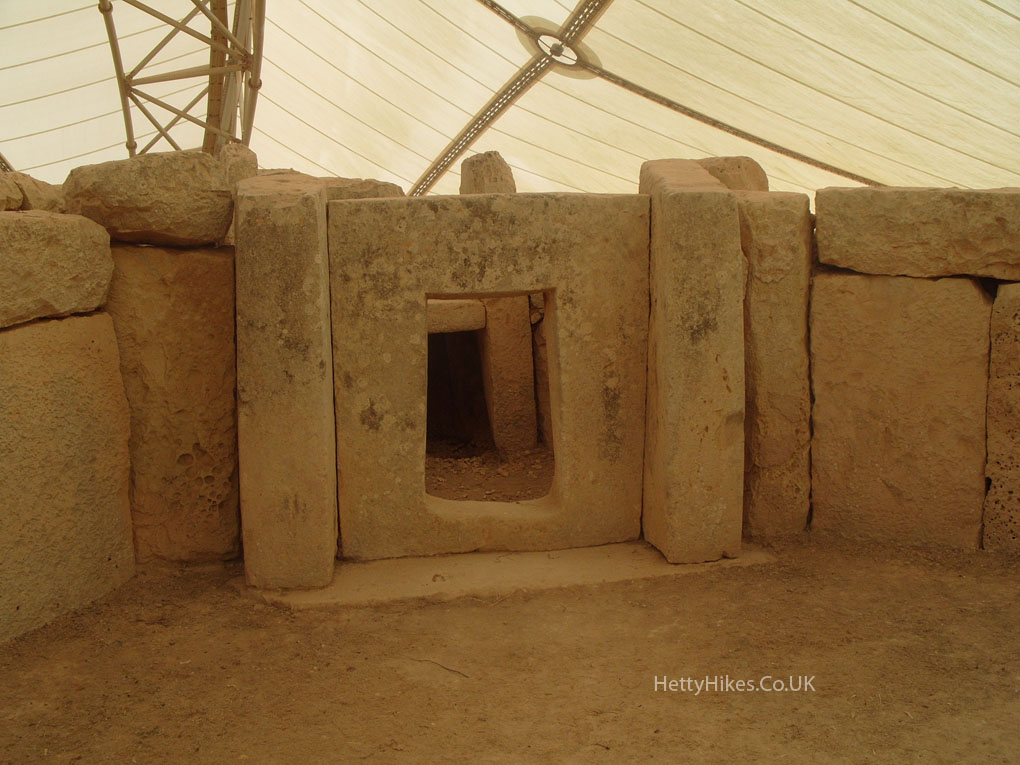
We took a detour to two prehistoric temples (entry fee €9 adults)
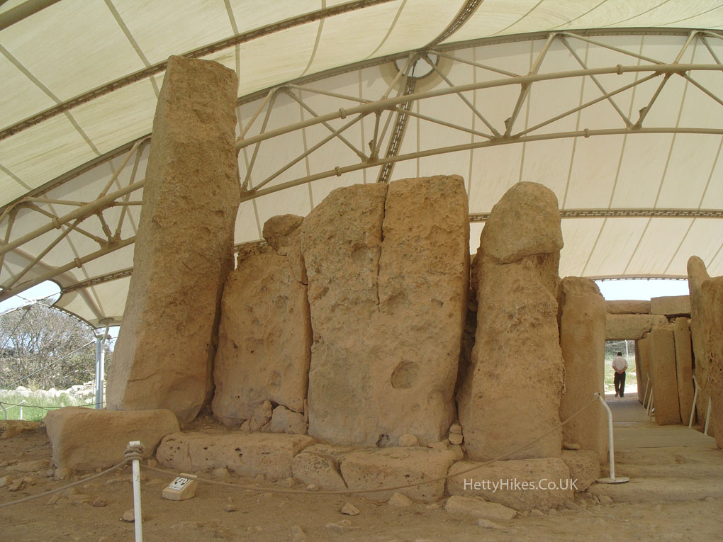
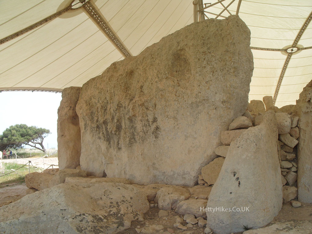
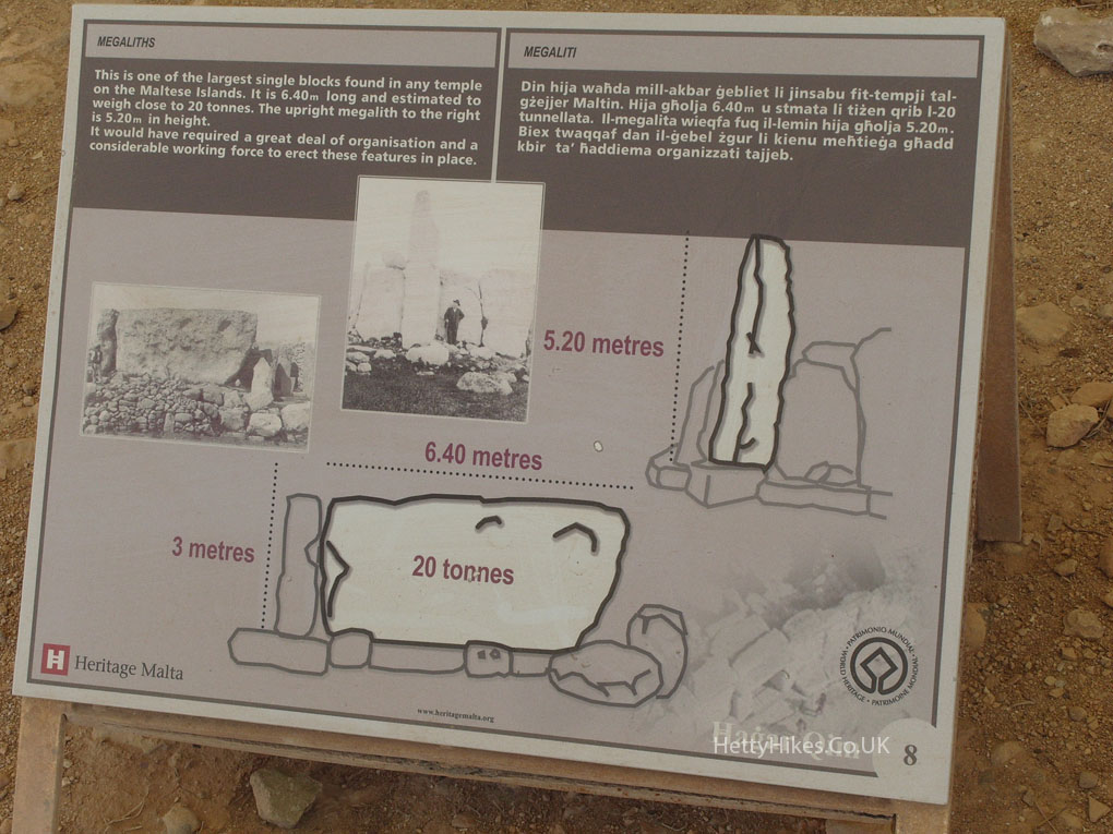
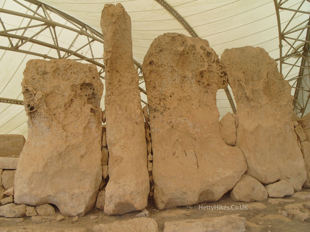
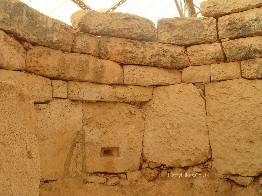
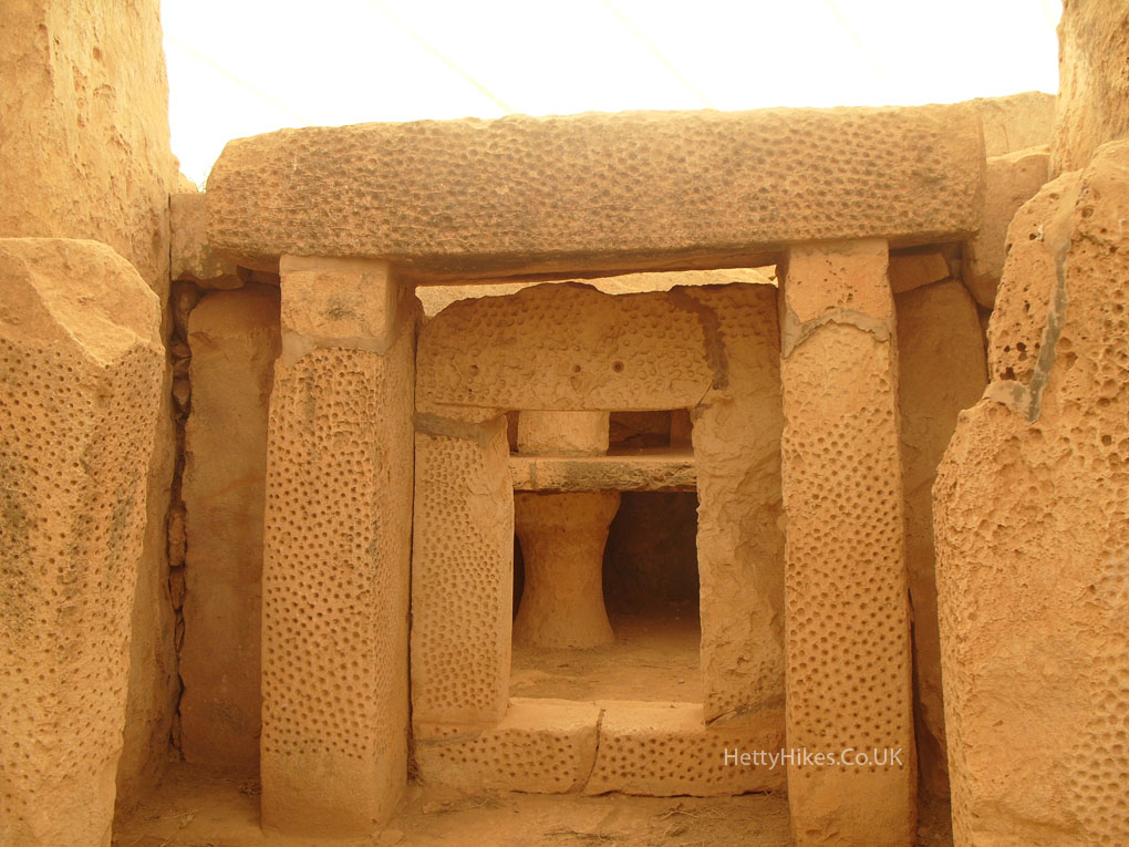
The upper one is Ħaġar Qim, built 3600-3200 BC, much older than Stonehenge (about 2500Bc)
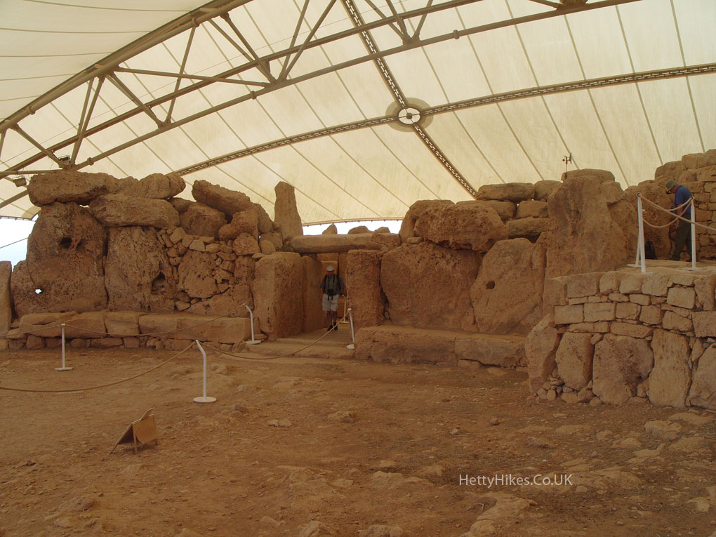
How did they quarry, shape, move and arrange these huge stones????
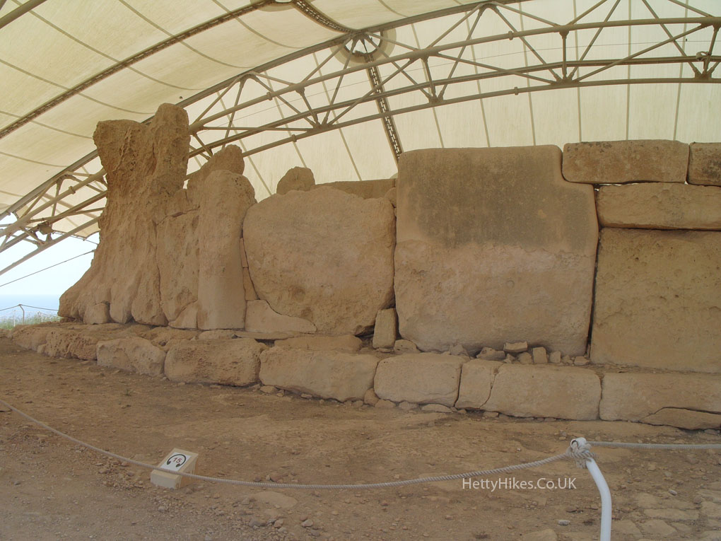
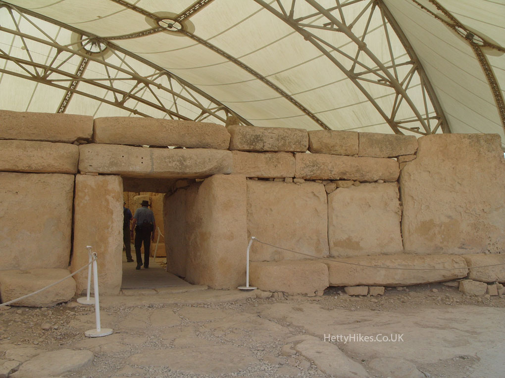
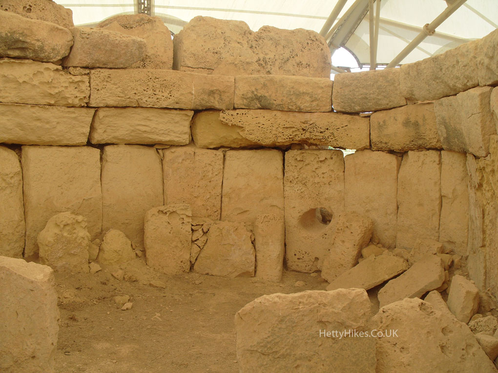
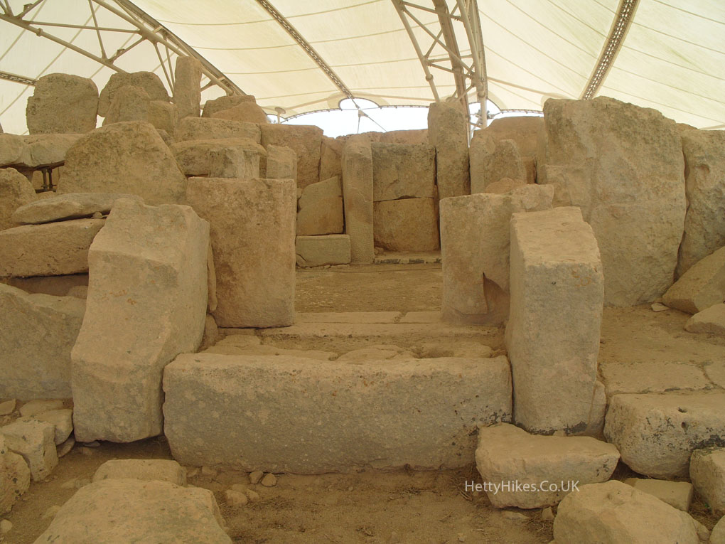
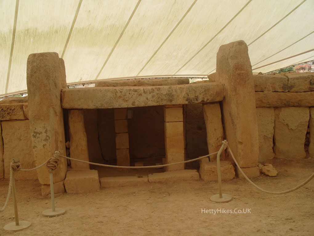
Downhill is the Mnajdra temple under a tent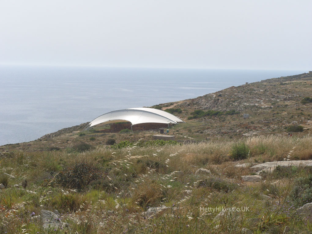
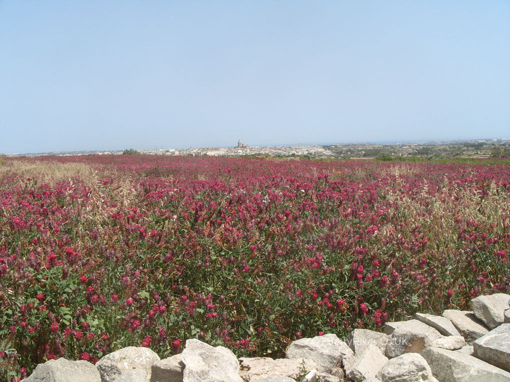
Our next stop is the creek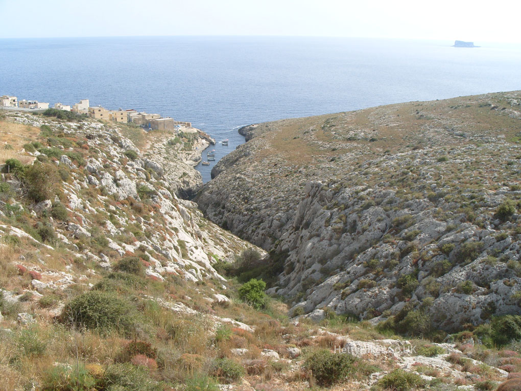
The Blue Grotto is here, but you need to take a boat ride to see it, and we didn’t have time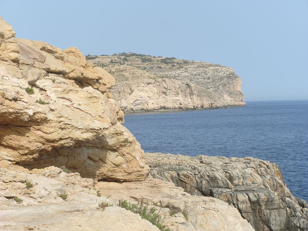 It took about 2 hours to get back to Bugibba by bus