2nd to 9th May 2015 Map of Malta All photos by Hetty
Malta is only 17 miles long by about 9 miles across at its widest, but it takes longer than expected to travel around, especially by bus.
It has a rocky coastline, high cliffs and scattered sandy beaches. It has hills, but the maximum height on the island is only about 250m, 820ft, at the Dingli Cliffs.
We stayed at Bugibba, near shops and the bus station. It is good to get on the bus at the beginning of the journey, as you should get a seat.
In date order:
- Flight from Pisa to Malta
- Rihana to Xemxija
- Qawra and Bugibba
- Gozo
- Dingli Cliffs to Blue Grotto
- Mdina
- Golden Bay
- Mosta
- Valletta and the three cities
- Ghadira to Golden Bay
- Selmun to Xemxija
After a day spent in Pisa, we flew to Malta in the evening
Castiglioncello, Italy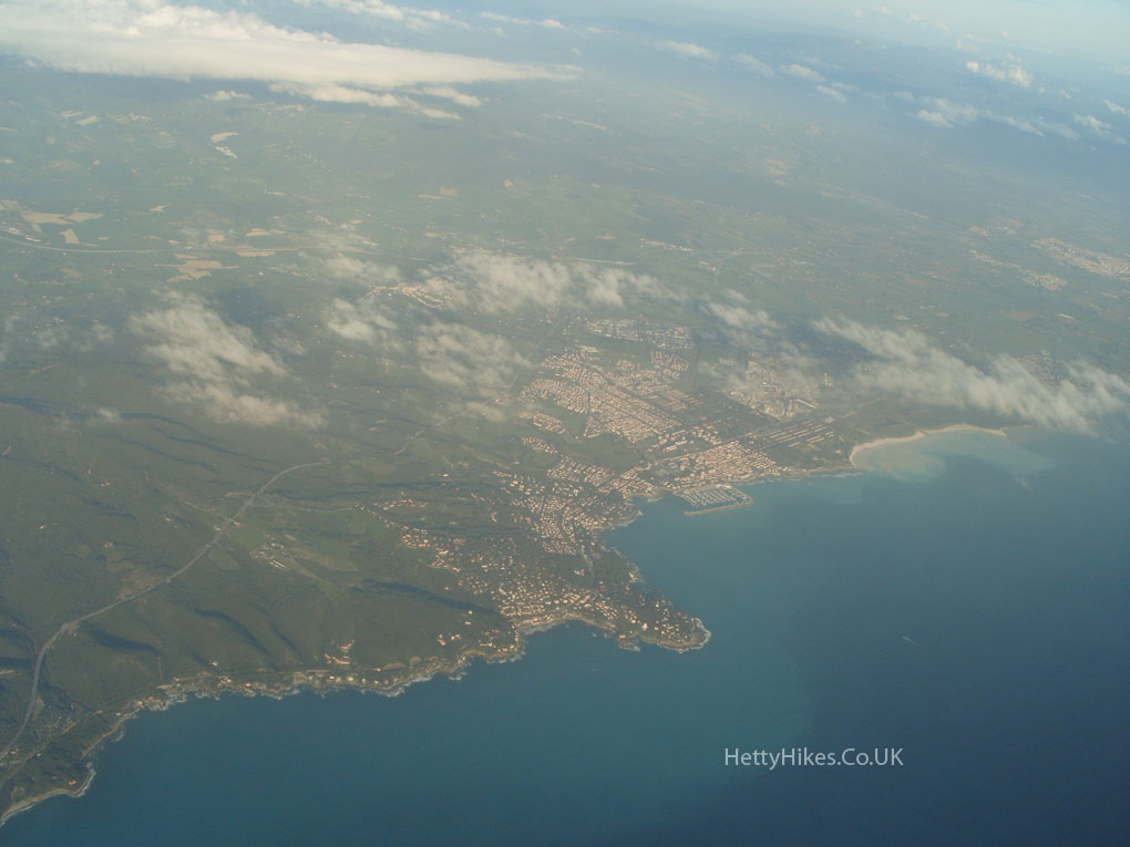 Piombino, Italy
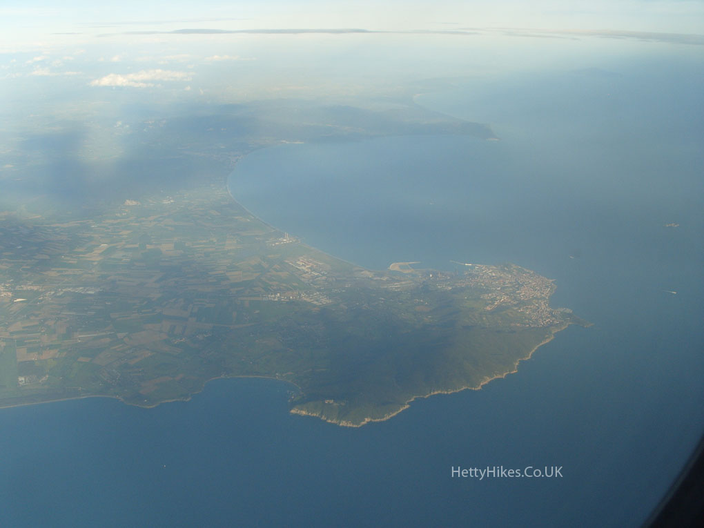 Palmero, Sicily
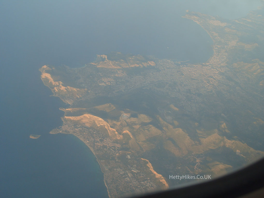 Gozo
Gozo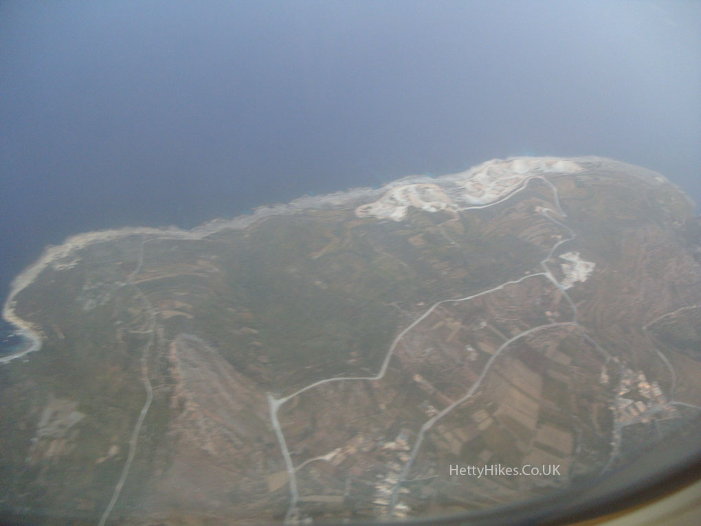 Comino
 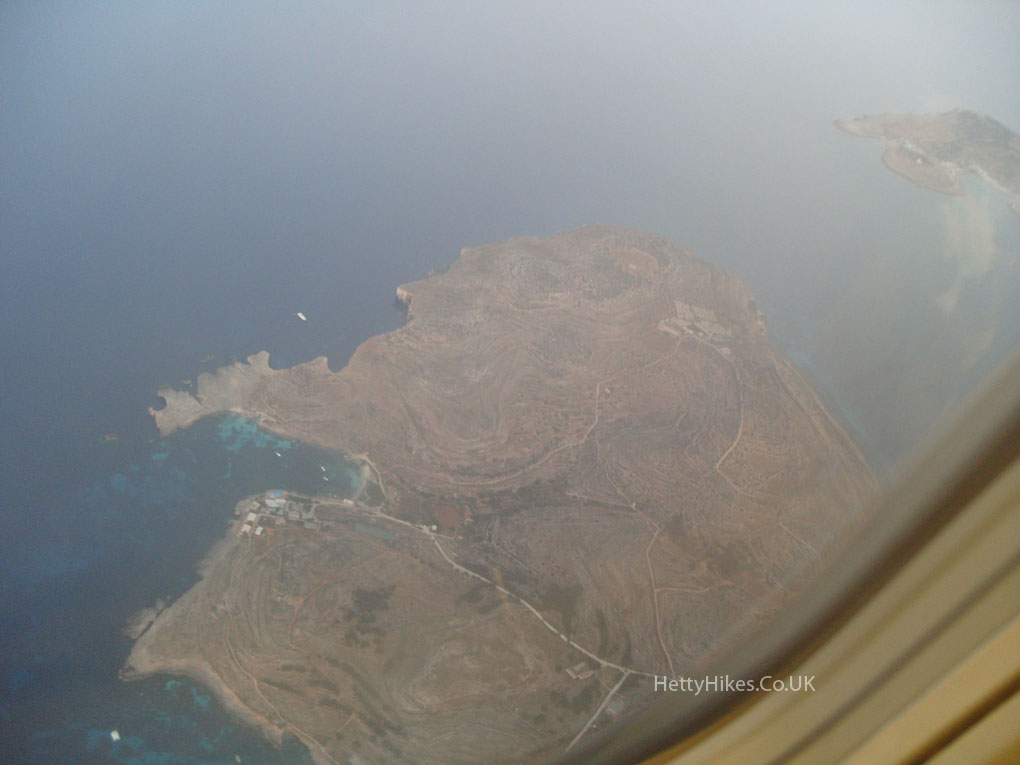 L- Armier, Malta
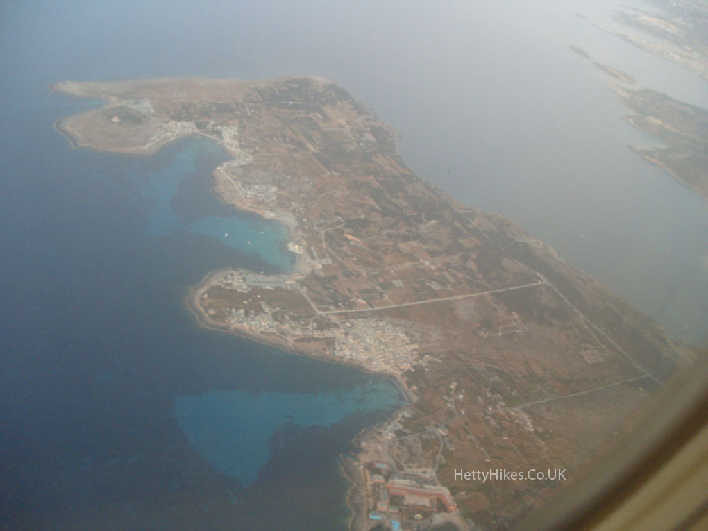 Mellieha, St Paul’s Bay and Bugibba – where we will stay
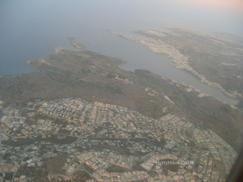
 Mosta Dome
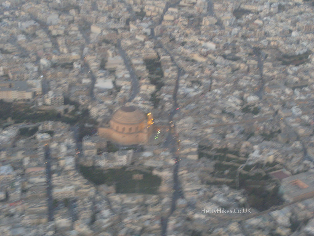 Valletta
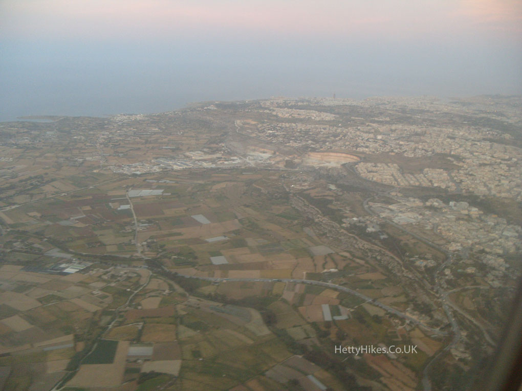
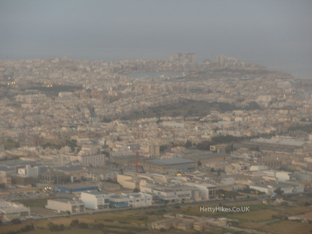 We have landed
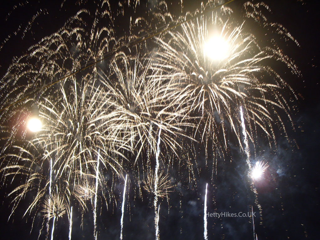
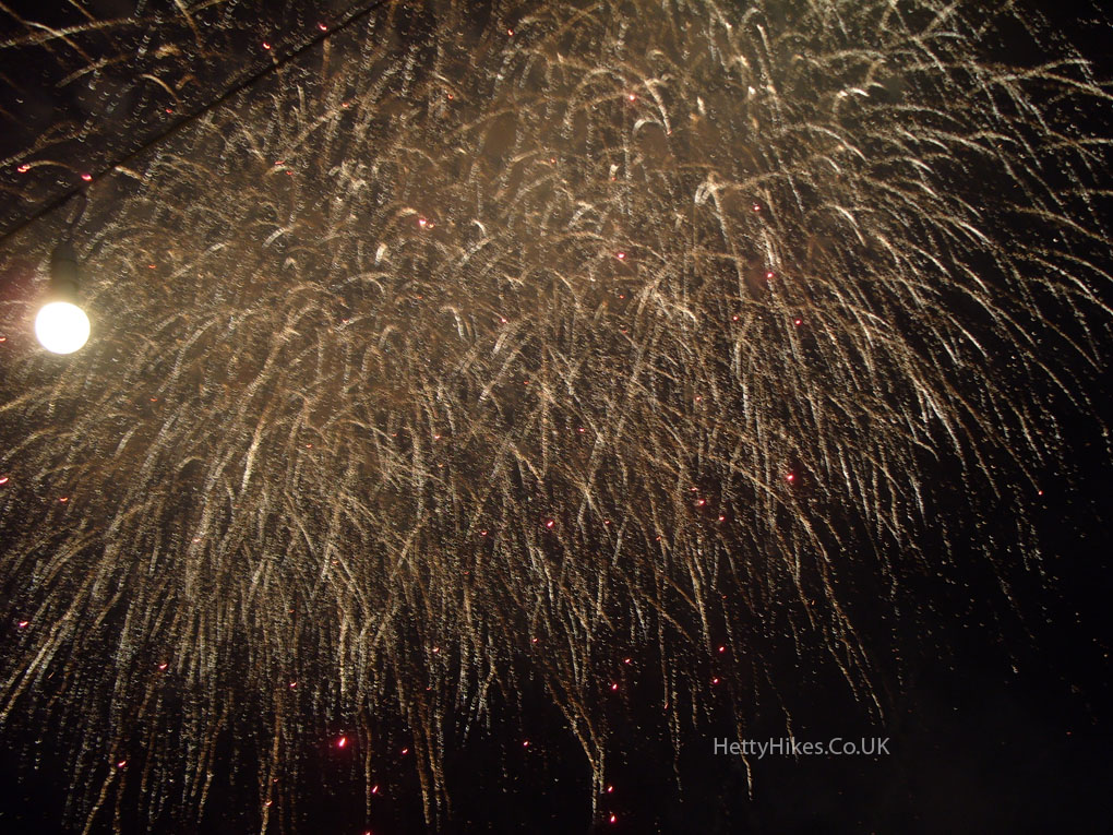
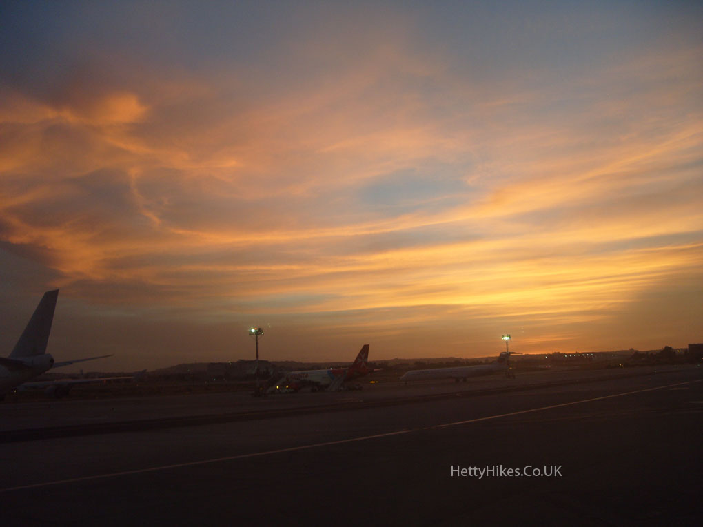 We were collected from the airport and arrived in Bugibba just in time to see the firework display over the sea, just down the road from our apartment