Near Cheltenham, Gloucestershire
6th June 2016 Photos by Hetty
Prestbury was first recorded in 899-904, as Preosdabyrig, meaning ‘the priests’ fortified place’.
We started at The Burgage
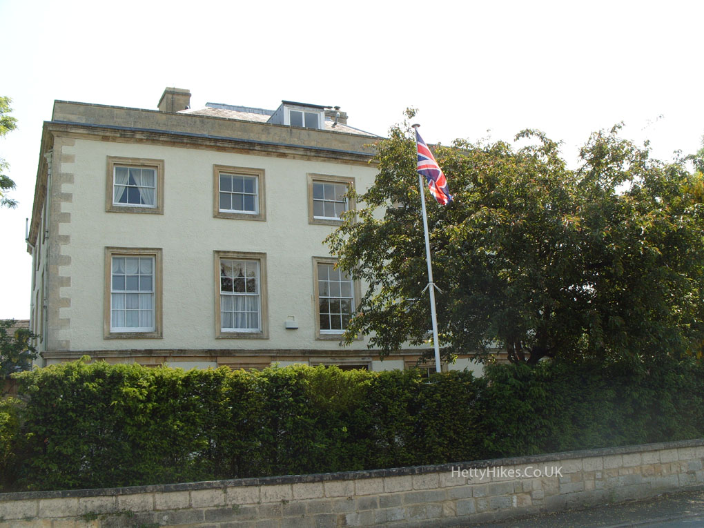
Prestbury House was occupied in the Civil War by Parliamentarians
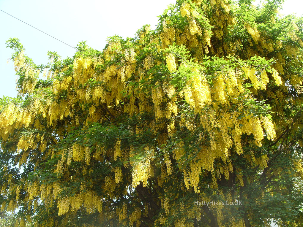
Laburnum
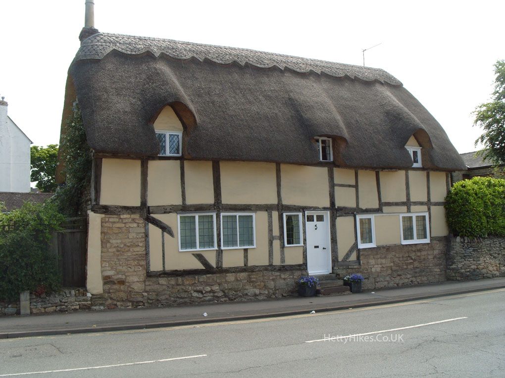
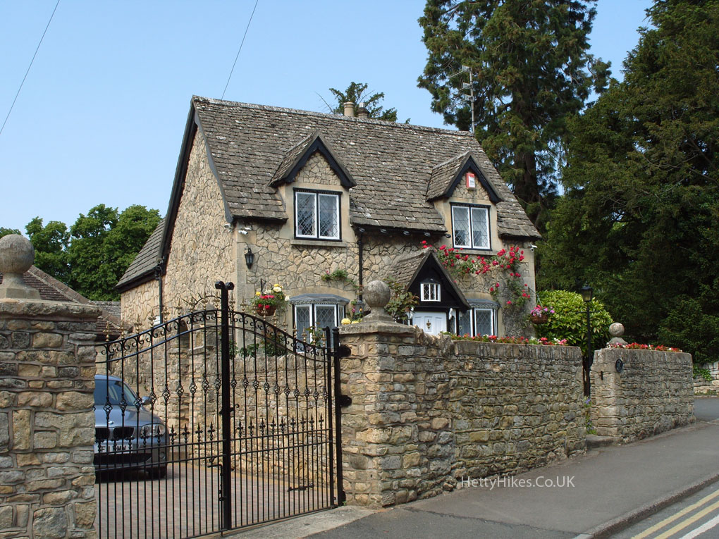
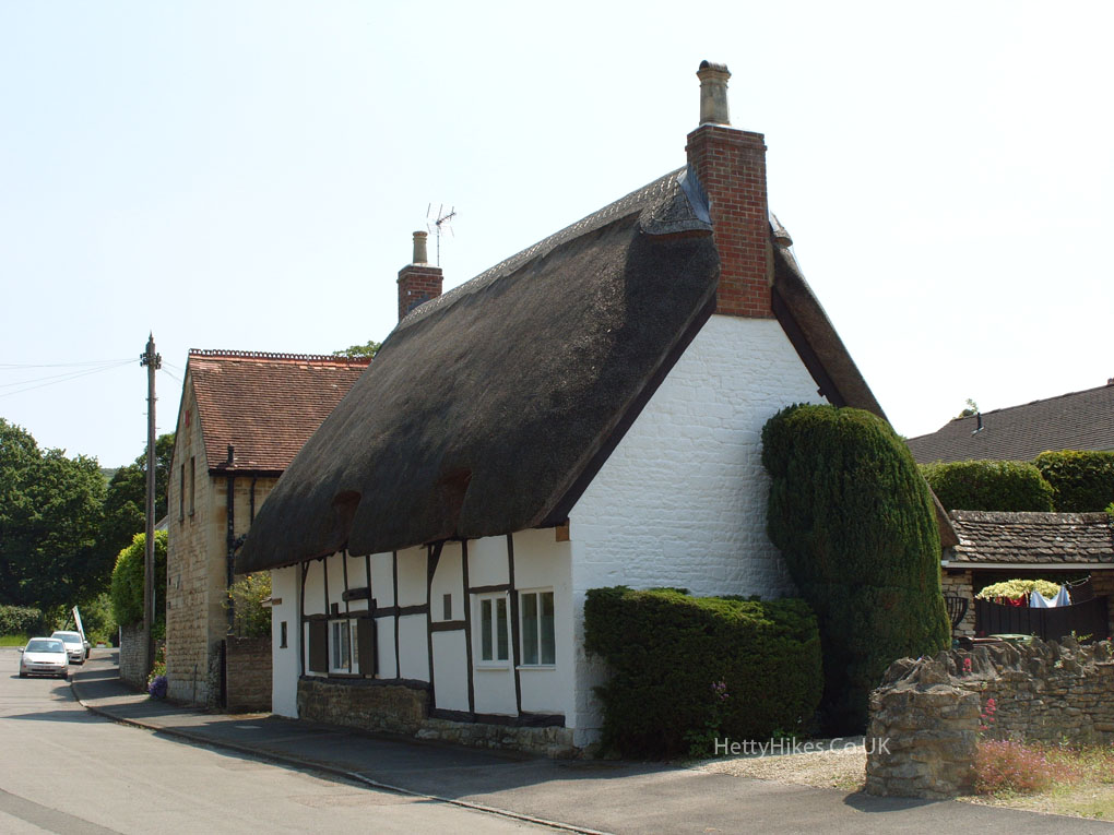
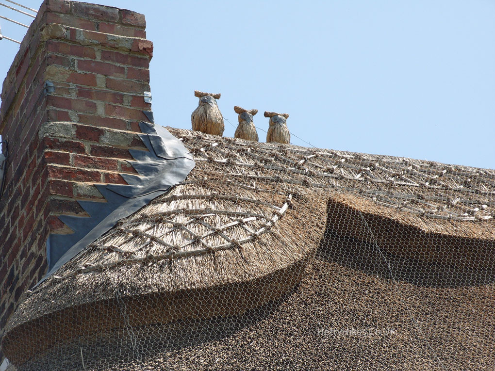
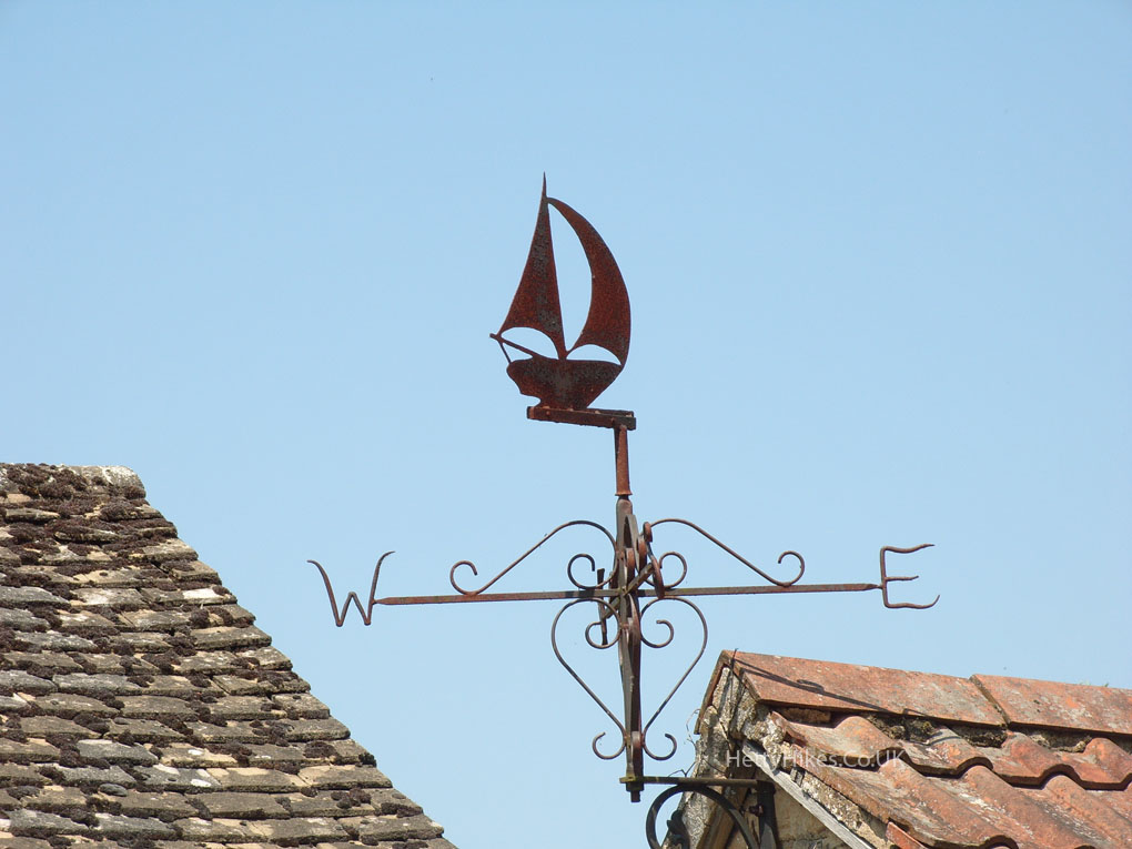
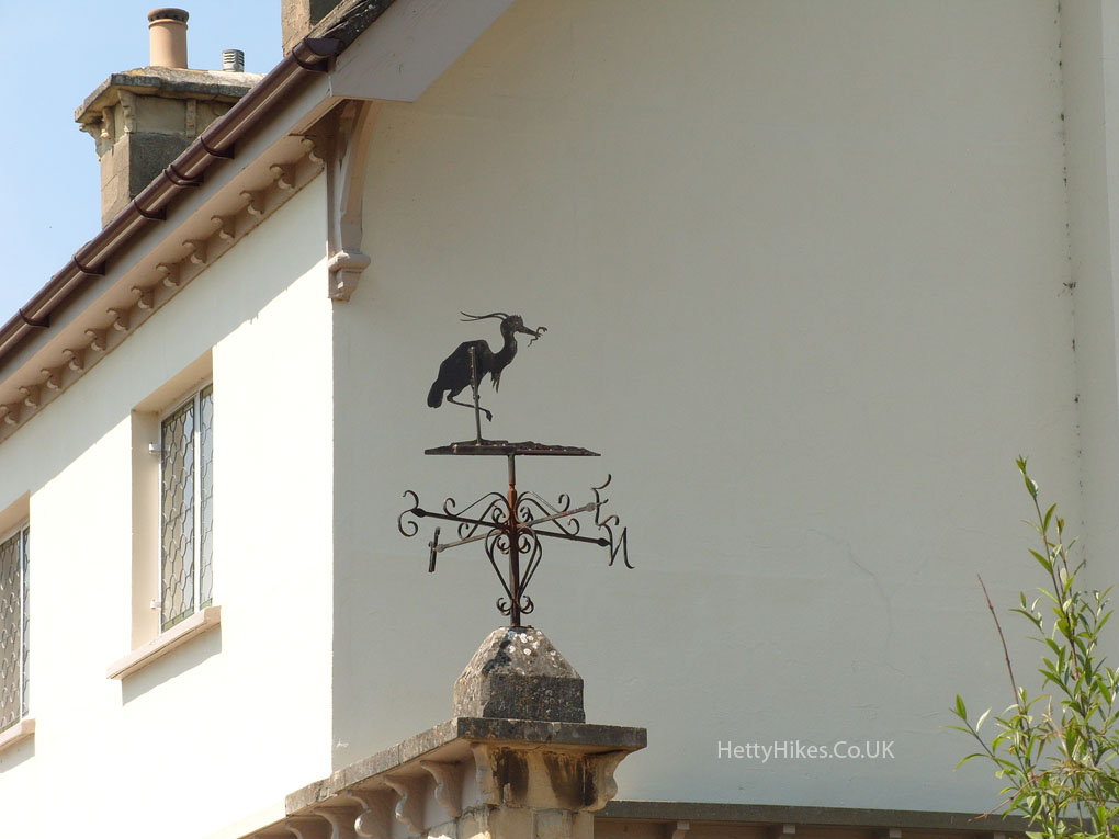
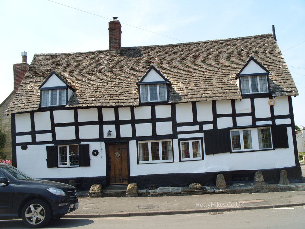
There are several thatched cottages in Prestbury
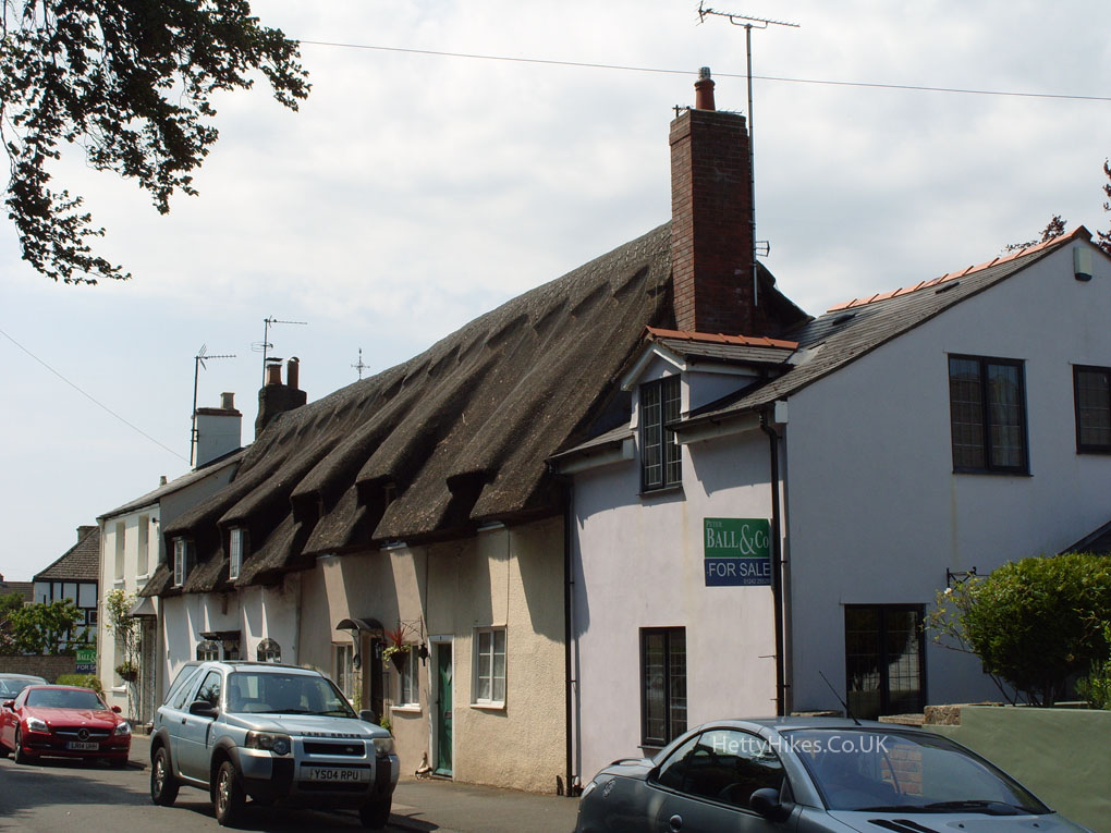
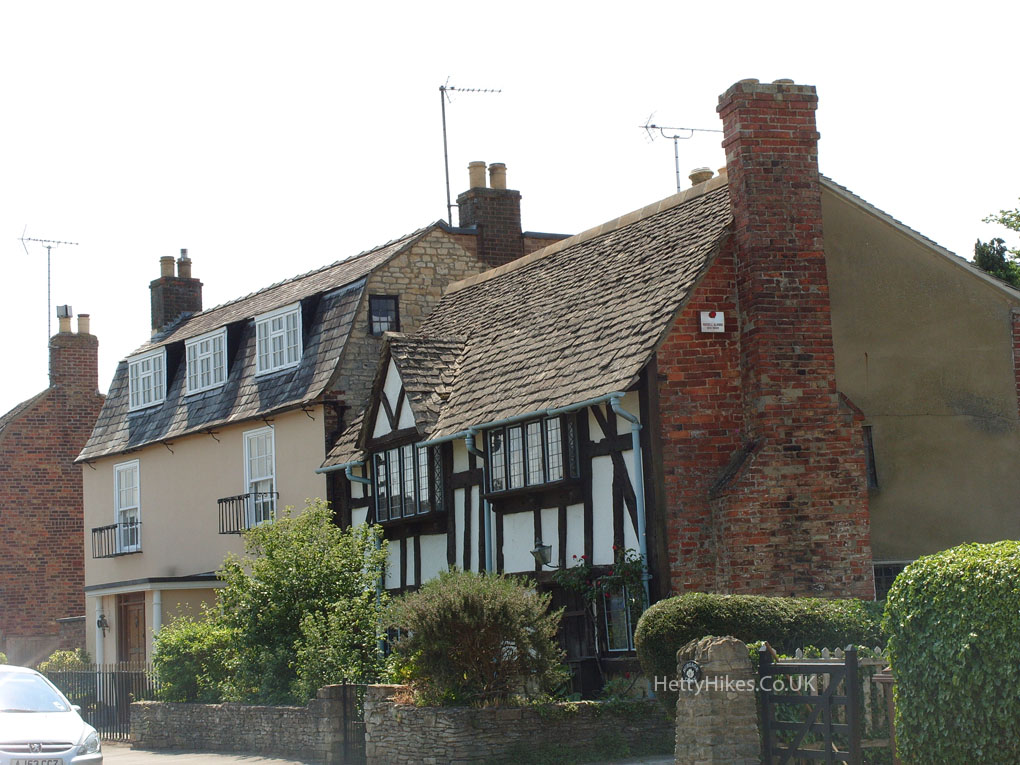
Deep St
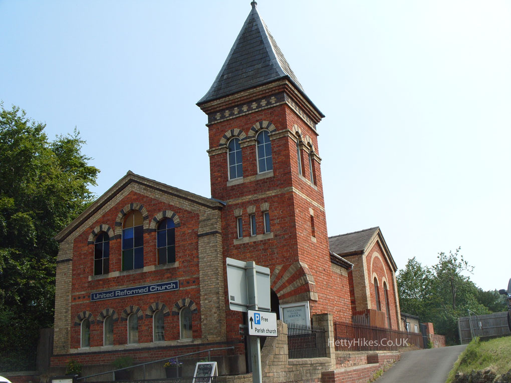
This was originally a Congregational Church, opened in 1866
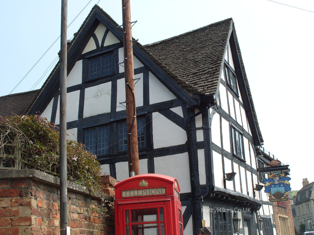
The Kings Arms in High St
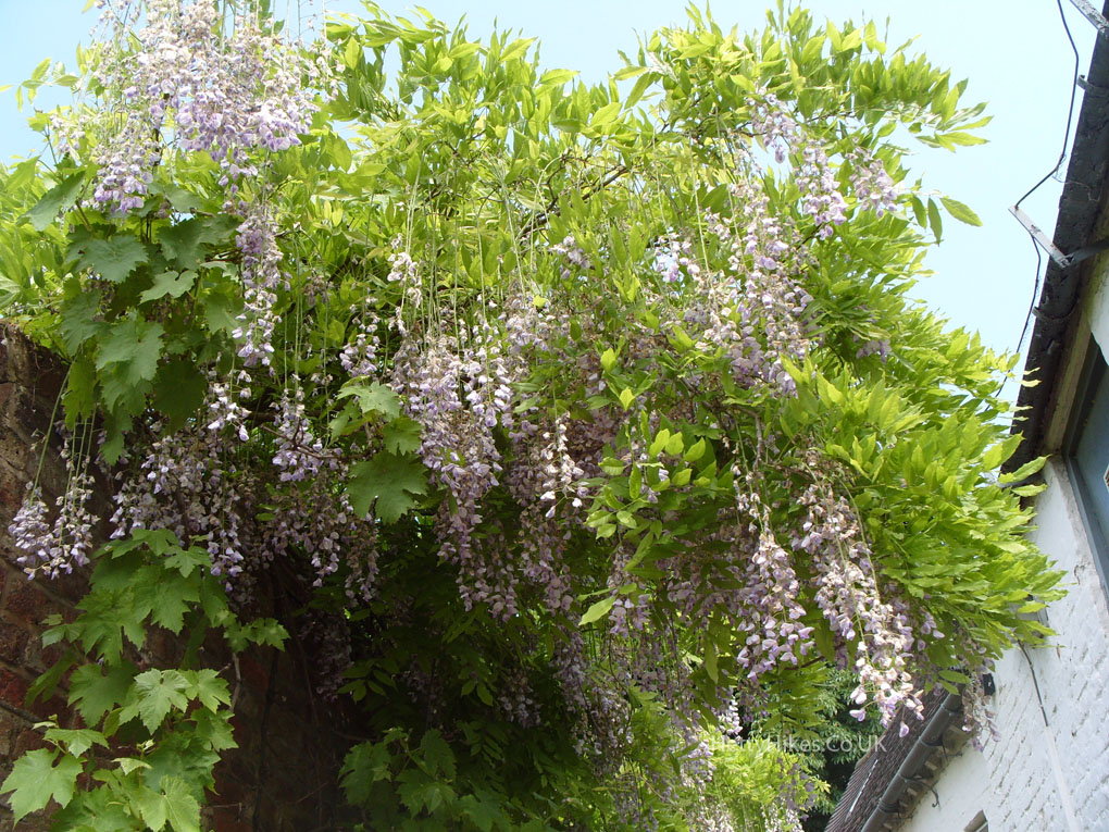
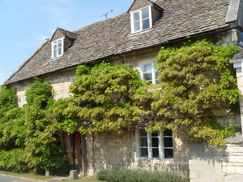
 Wisteria
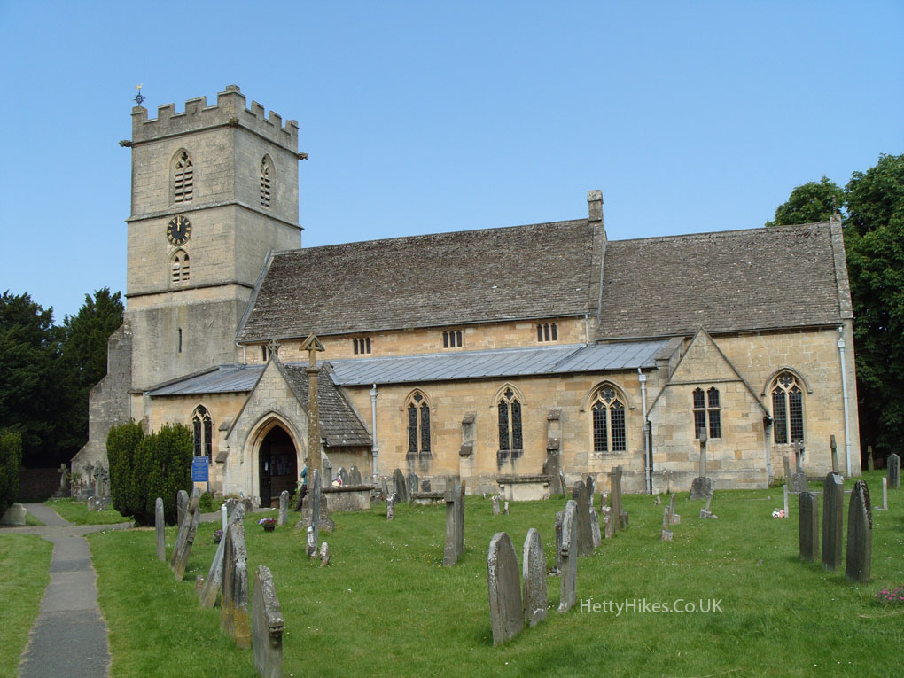
St Mary’s Church, was started in the 12th century, rebuilt 14th century, and resorted in 19th century
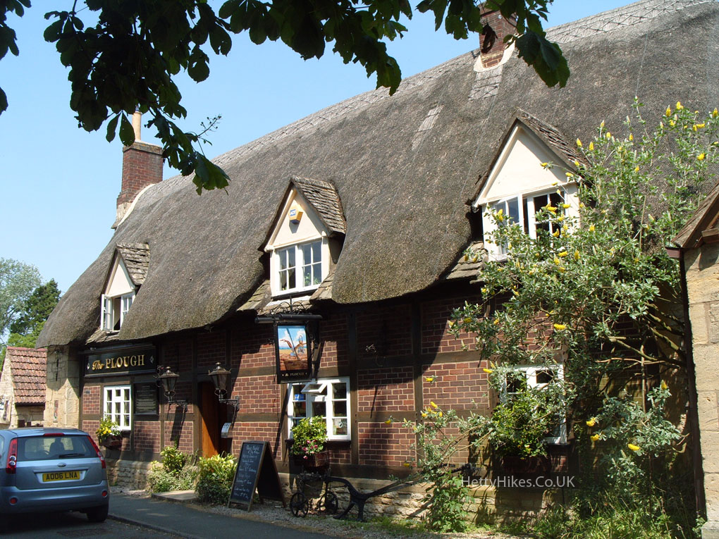
The Plough in Mill St was built c.1623 as a bakery
Mill Street – We have fond memories of visiting Auntie Mary
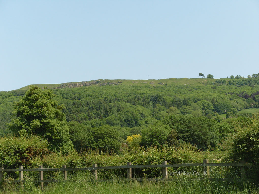
Looking up at Cleeve Common
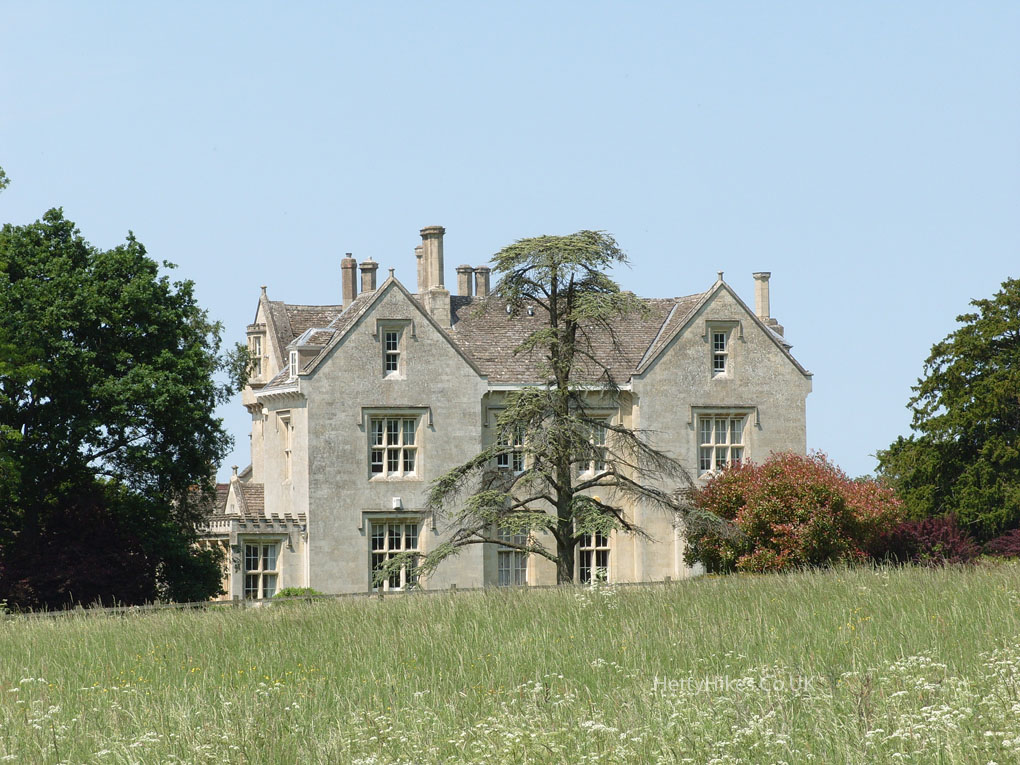
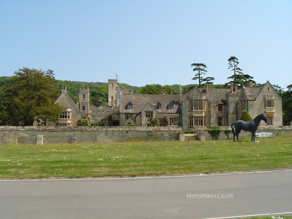
Prestbury Manor
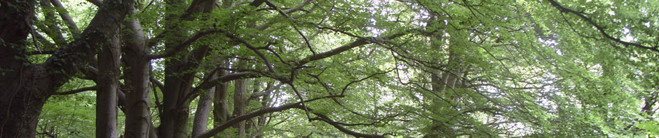
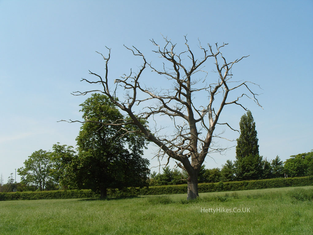
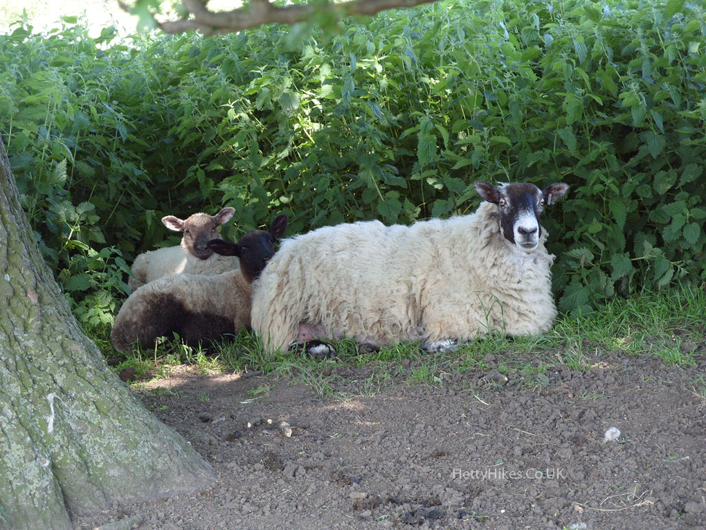
On the way to Queen’s Wood
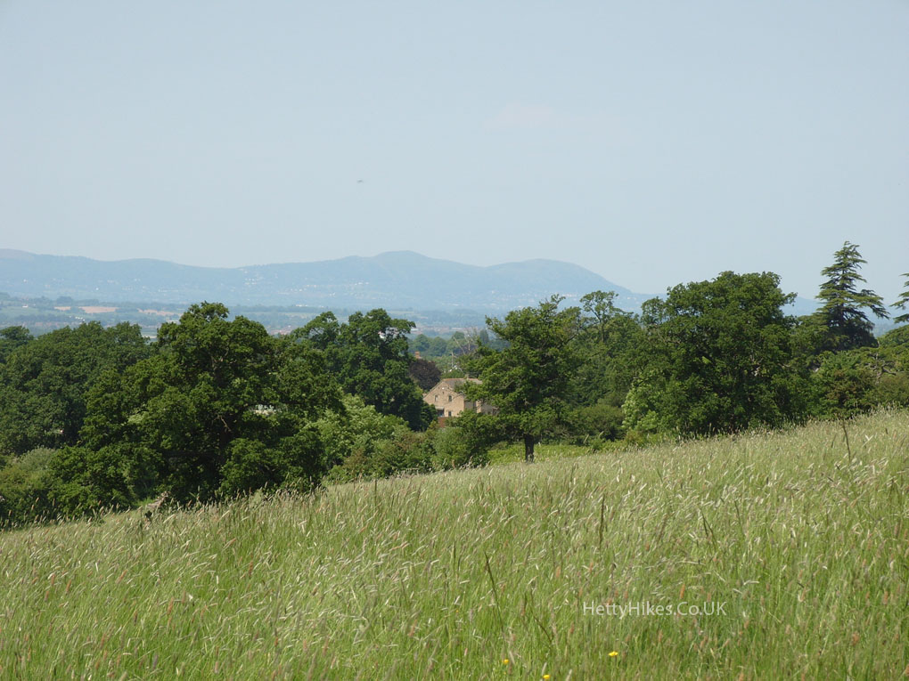
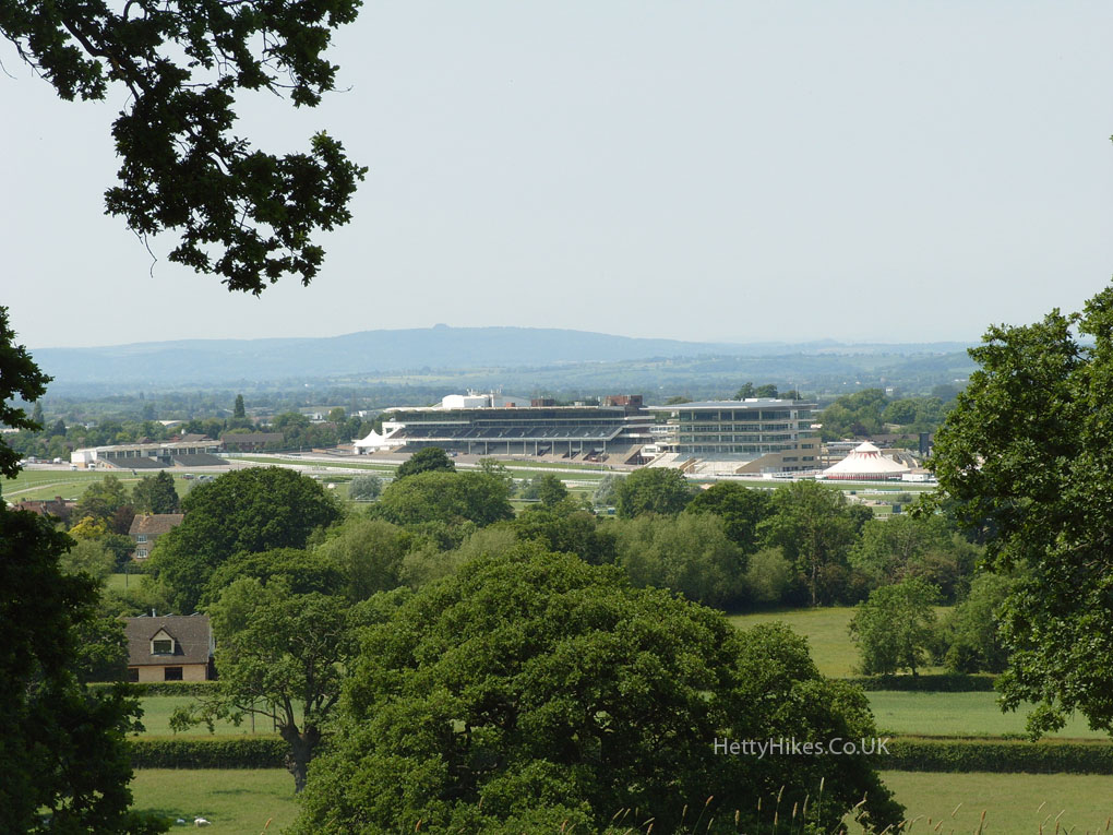
Malvern Hills in the distance
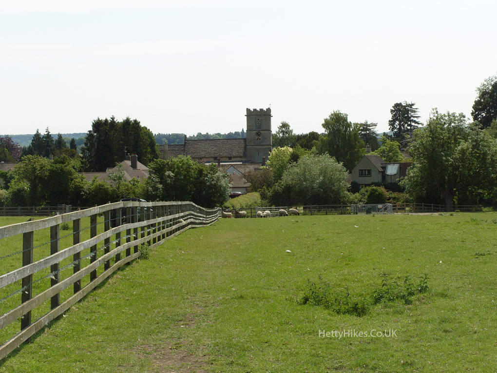
The Race Course opened in 1902 – the first horse races were on Cleeve Hill in 1819. May Hill with the trees on top is in the distance
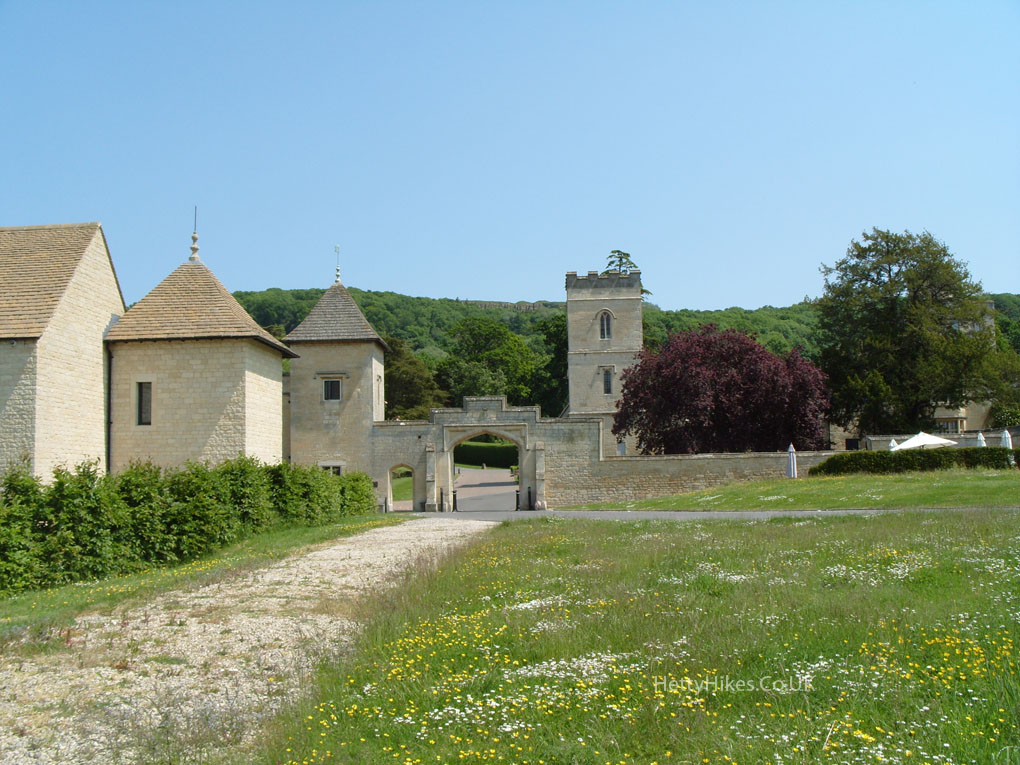
This was Southam House, but is now Ellenborough Park (was Hotel De La Bere) – a Tudor Manor House dating from the 15th century
Back in Prestbury
Back to the church
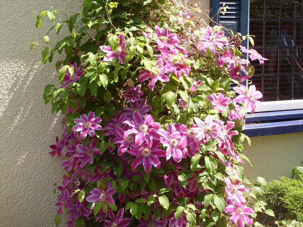
Clemetis
Back to the Burgage, where the market, granted in 1249, was held
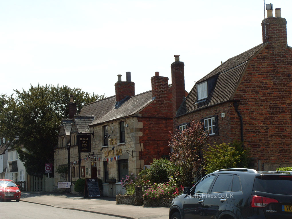
The Royal Oak Inn