Stroud, Gloucestershire All photos by Hetty
15th September 2022
A walk along Wick Street, down Pincot Lane and back across the fields to Hammonds Farm
~~~~~~~~~~~~~~~~~~~~~~~~~~~~~~~~~~~~~~~~~~~~~~~~~~~~~~~~~~~~
26th April 2021
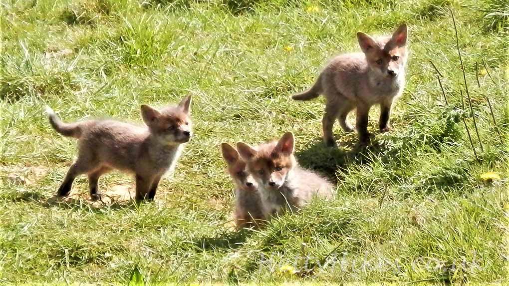
In Grange Fields on our way to Hawkwood, we saw seven fox cubs watching us (only four in this photo)
31st December 2020
A walk up Wick Street, around Hawkwood then return down Folly Lane
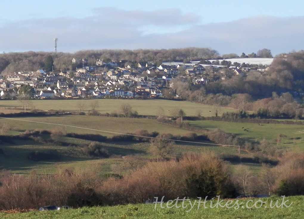
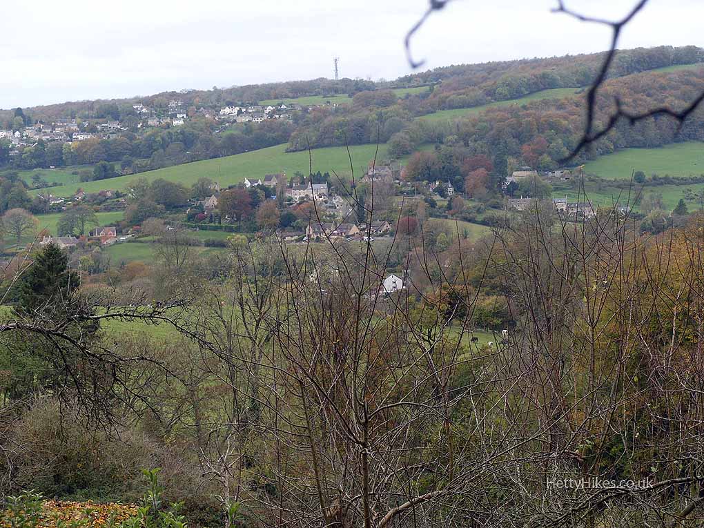
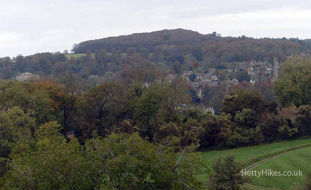
View to Whiteshill
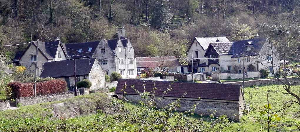
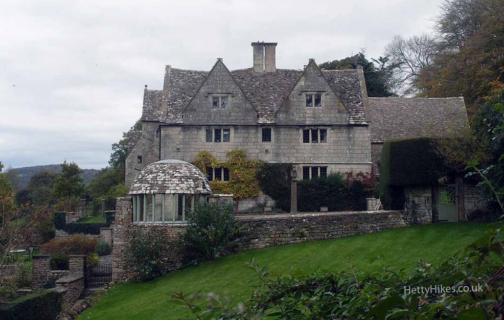
Hawkwood College
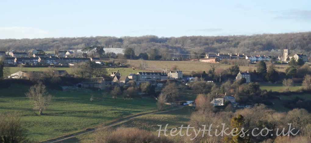
Callowell and Whiteshill Church
Callowell House
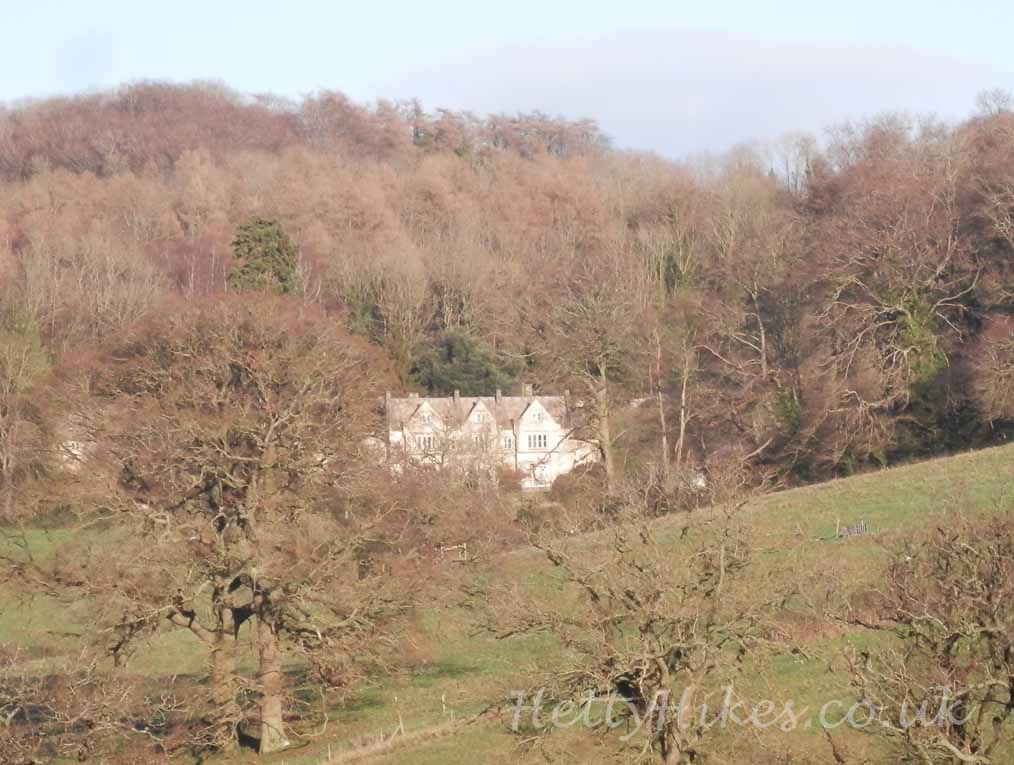
The farm at Hawkwood
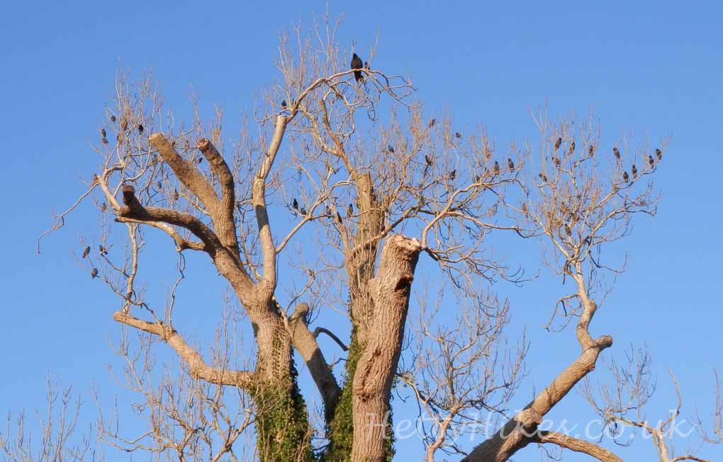
In Folly Lane – birds in the tree
**************************************************************
8th April 2020 5.6 miles Map of walk
This a repeat of a walk we did six years ago, but in the opposite direction and in better weather.
We walked up Folly Lane nearly to Bull’s Cross and returned along Wick Street.
Folly Lane is an ancient route to Bull’s Cross and Painswick and once had a folly, which belonged the The Grove (now Hawkwood)
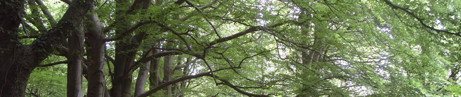
 Then down through the woods to Yokehouse Lane.
This building is by Greencourt House.
On the opposite side of the lane is Red Stables. It is a listed building whose entry says “Sometimes known as the ‘hate wall’, the folly is reputed to have been built to block out light from Greenhouse Court which lies on the opposite side of the road”.
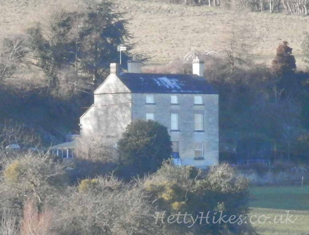
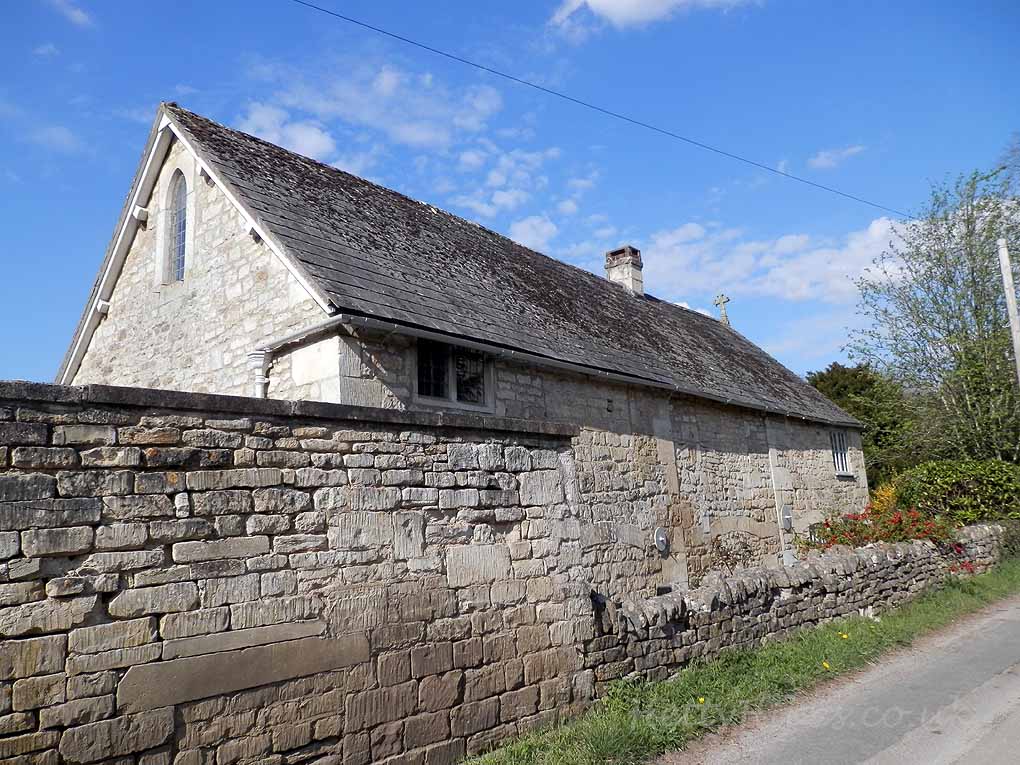
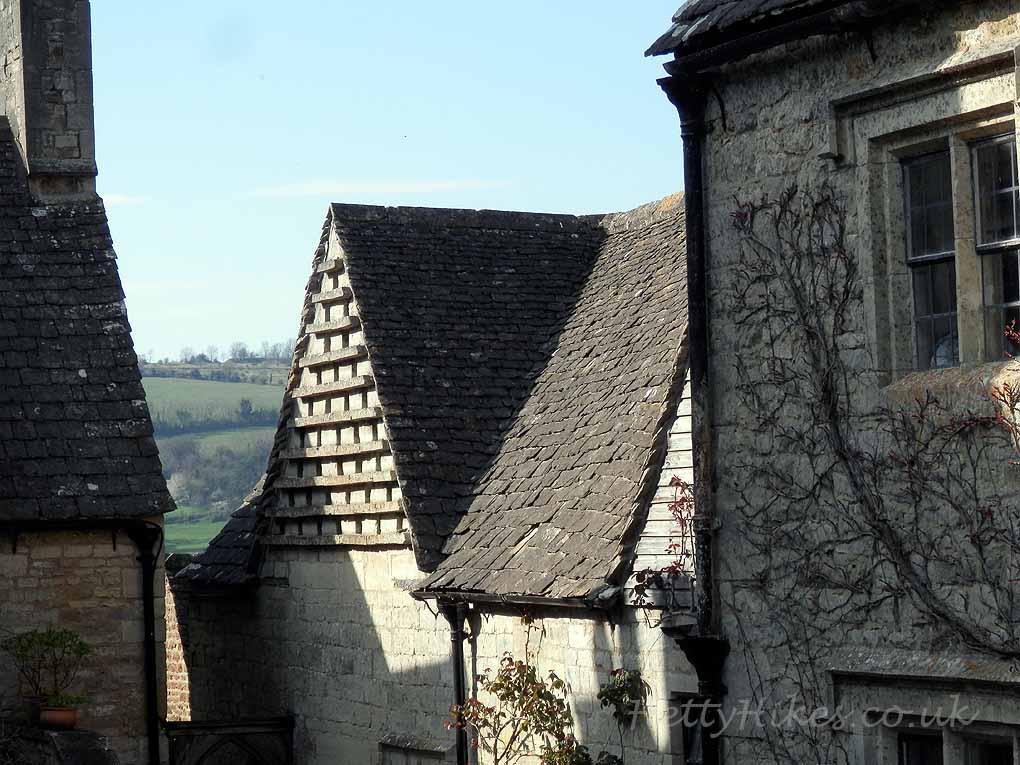
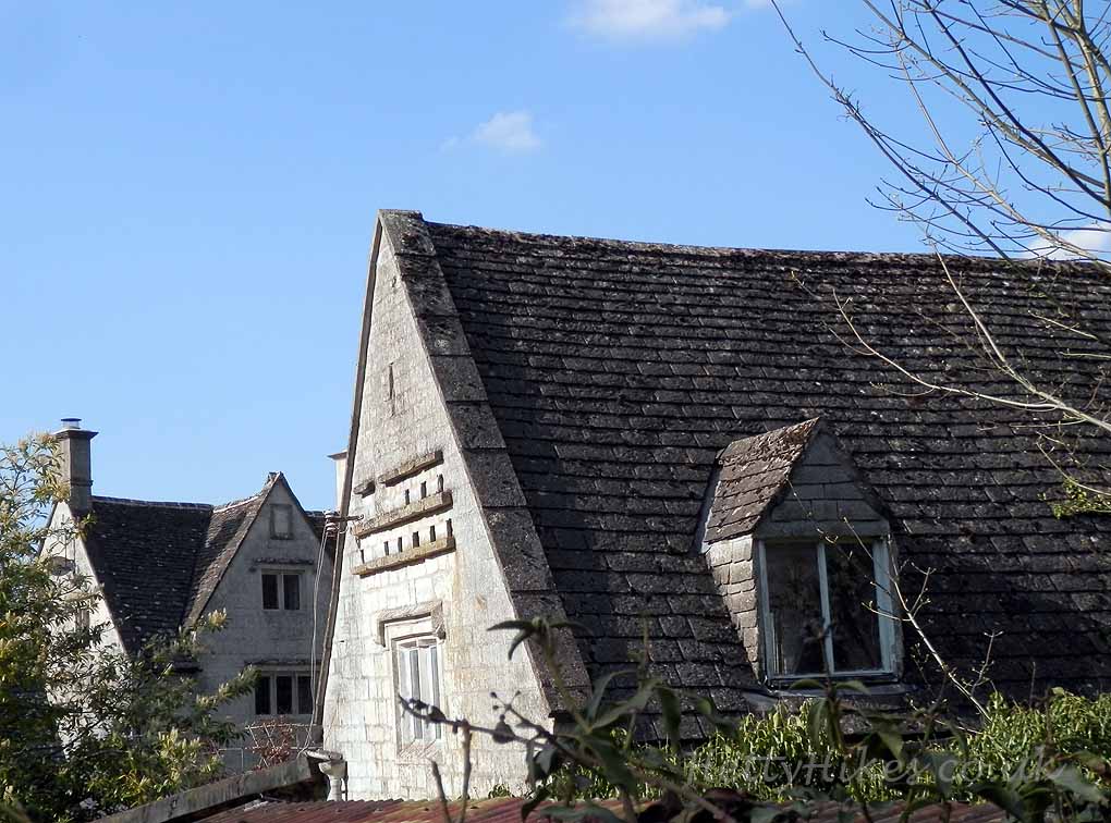
A hamlet in Wick Street
 There are several old houses in Wick Street, which was the road from Stroud to Painswick before the A46 was built
Below is the reverse walk
*********************************************************************
October 19th 2014.
A walk up Wick Street to Juniper Hill, returning down Folly Lane. An overcast day, but it didn’t rain!
Click here for map of walk Distance 5.4 miles 2 hours 40 mins
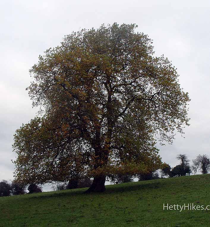
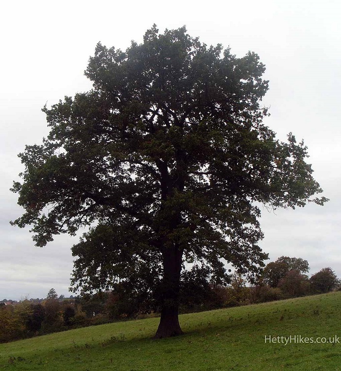
Grange Fields
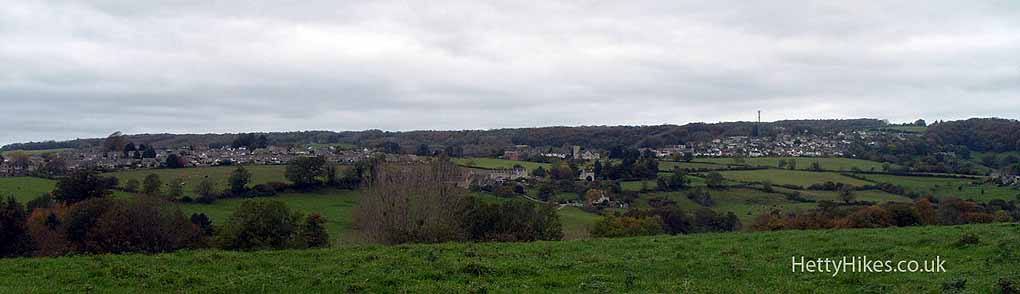
View to Rodborough
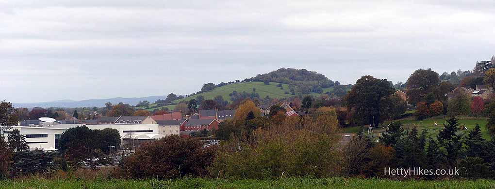
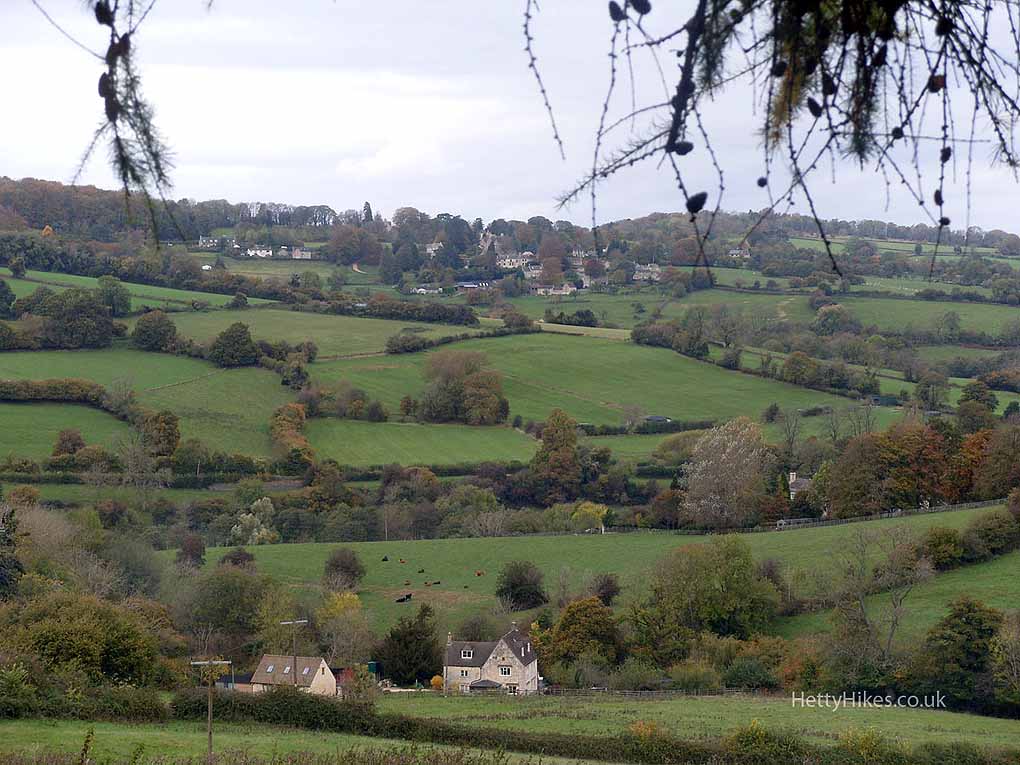
Towards Farmhill and Whiteshill
Towards Doverow
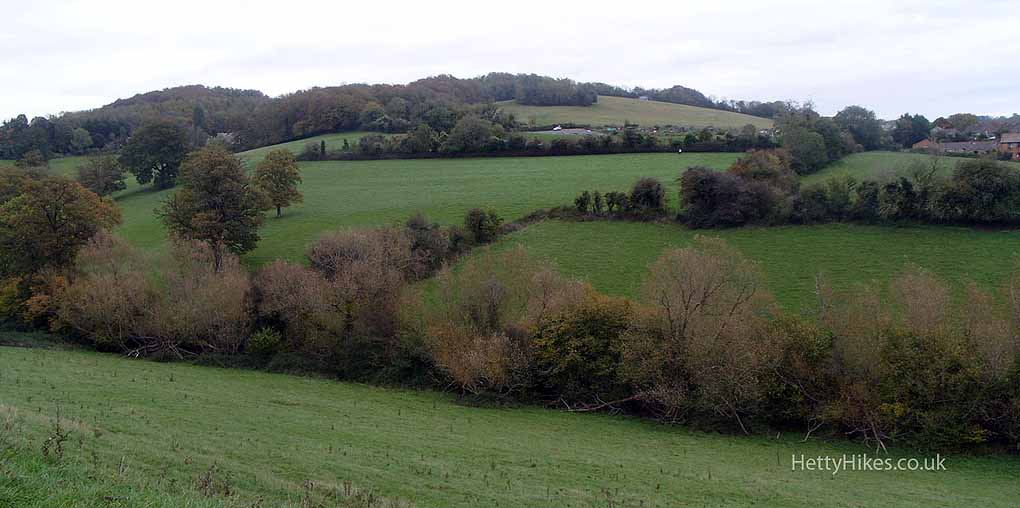
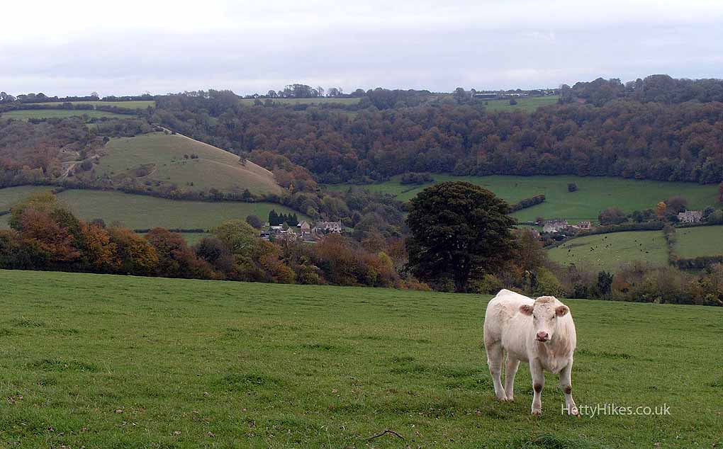
Badbrook Valley and Wickridge Hill
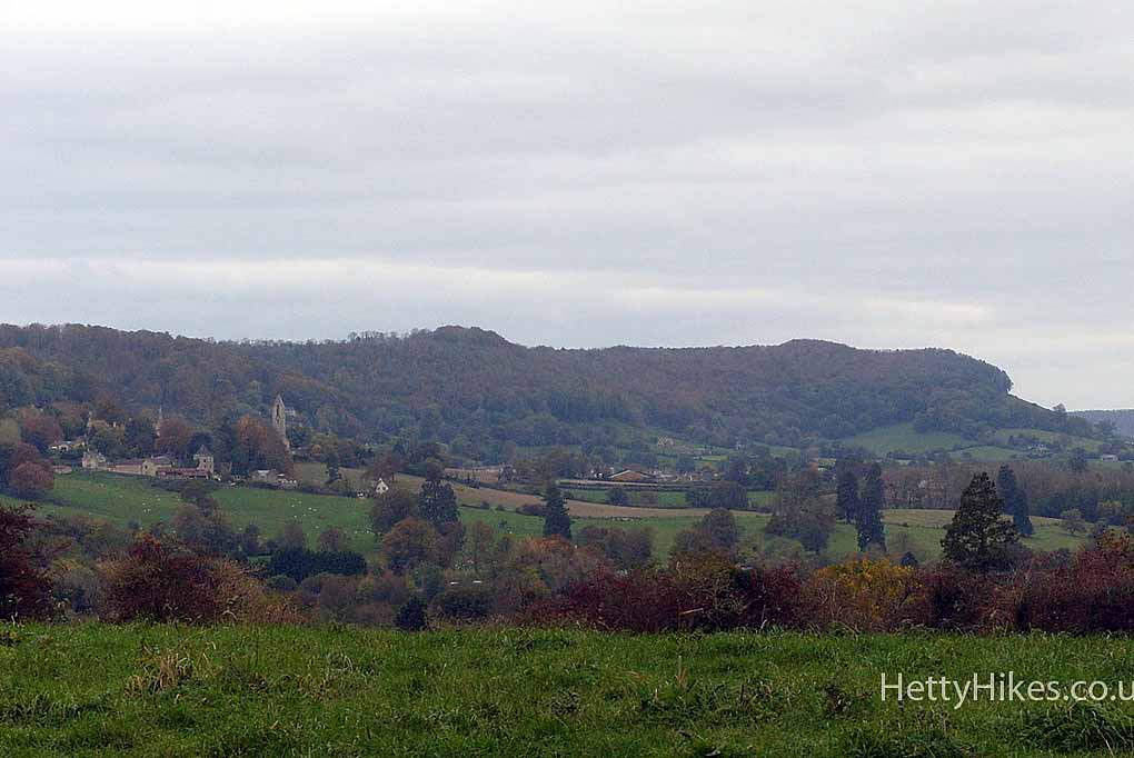
View to Selsley and Penn Wood
Hawkwood College, formerly The Grove
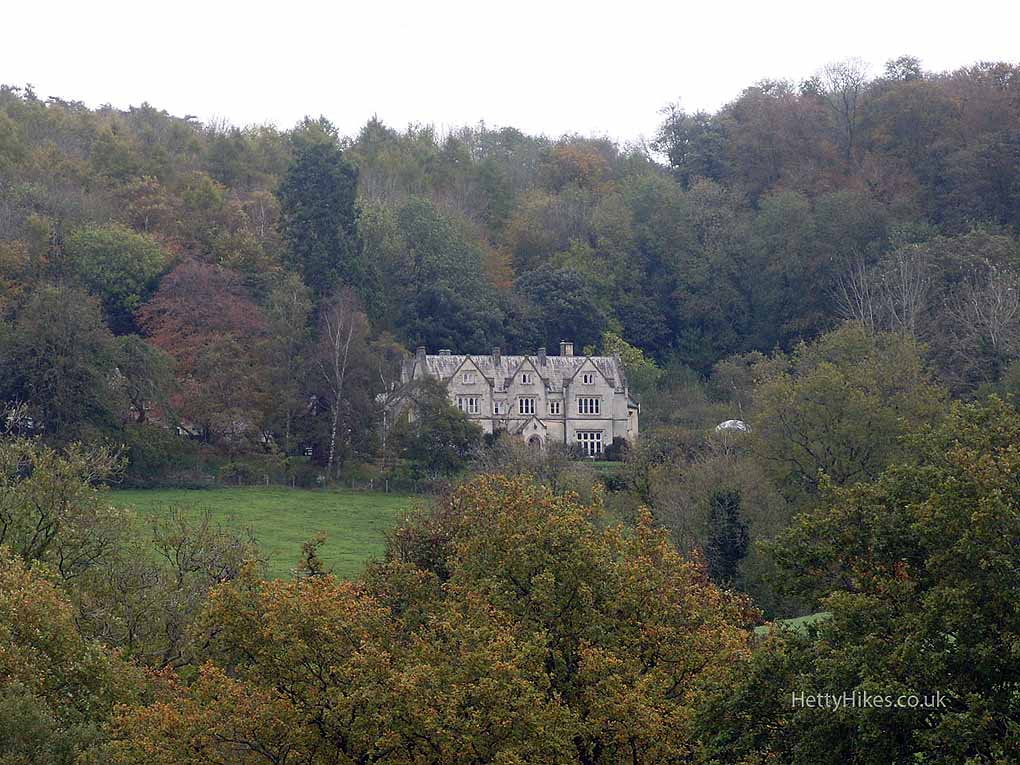
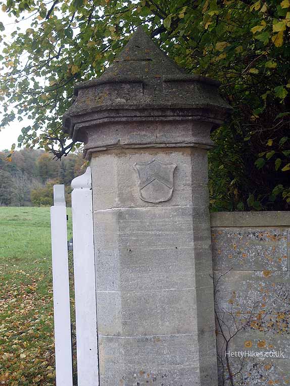
Entrance to Hawkwood in Wick Street
Wick Street was the old road to Painswick and Gloucester before the A46 was built
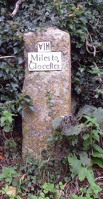
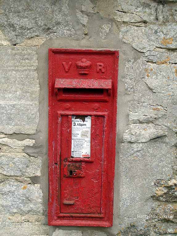
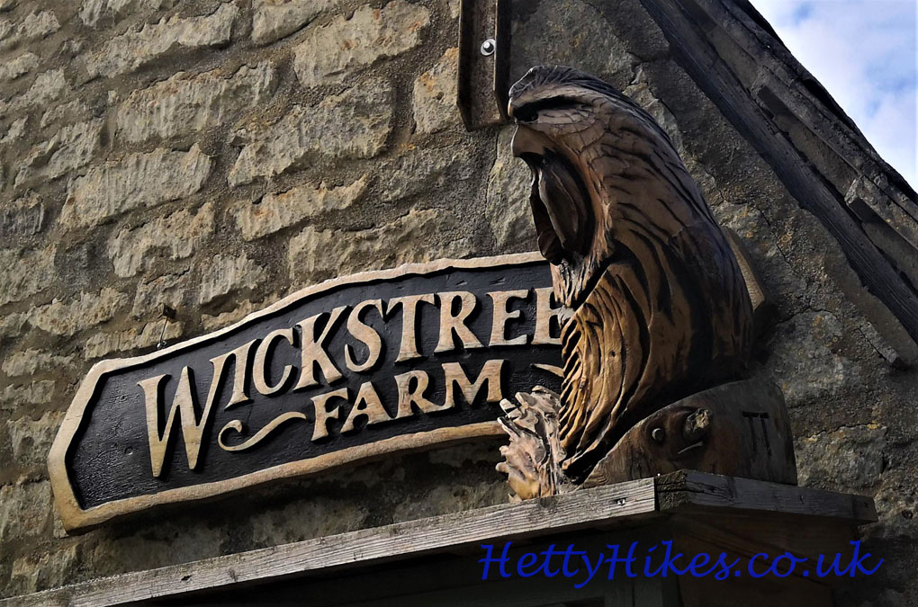
The milestone is here by Wick Street Farm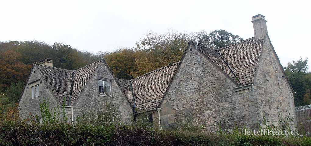 and the Victorian post box is by this house opposite
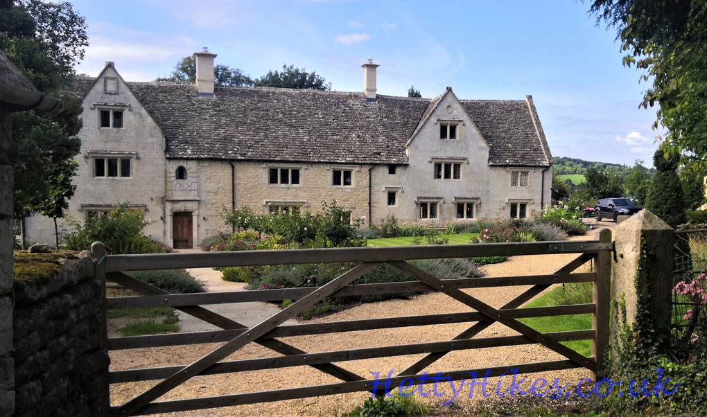
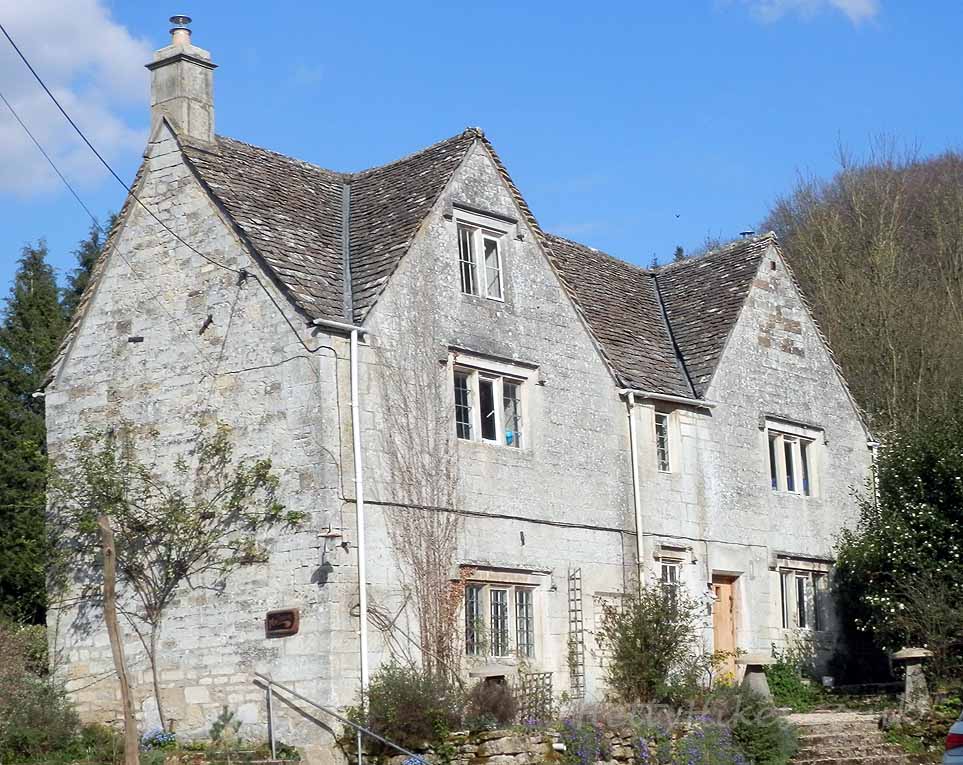
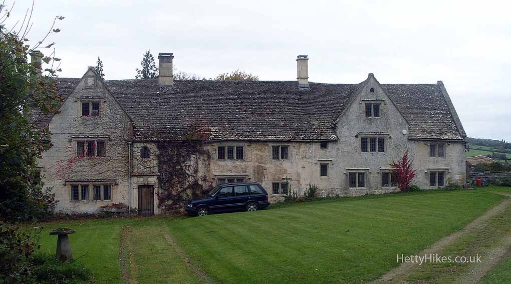 Wickstreet House
Whiteshill and Pitchcombe
Towards Edge village
Painswick House and Painswick
Then we went into the woods, over Wickridge Hill to views over the Slad Valley – Swift’s Hill and The Vatch- and walked down Folly Lane
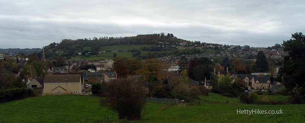
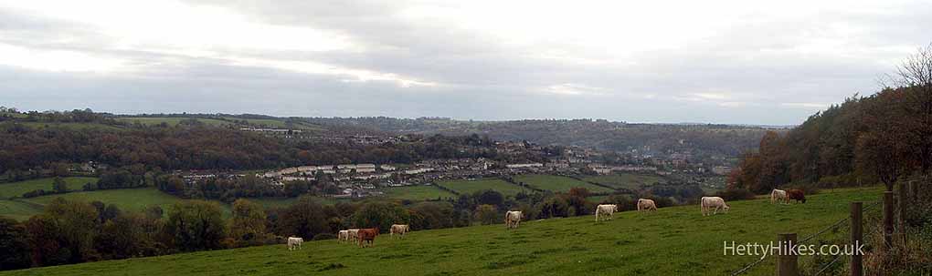
Towards Summer Street and Stroud
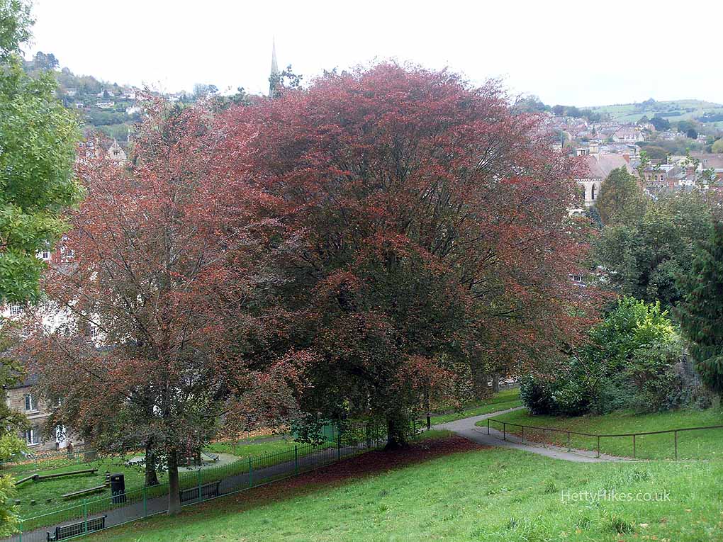
Park Gardens, Stroud
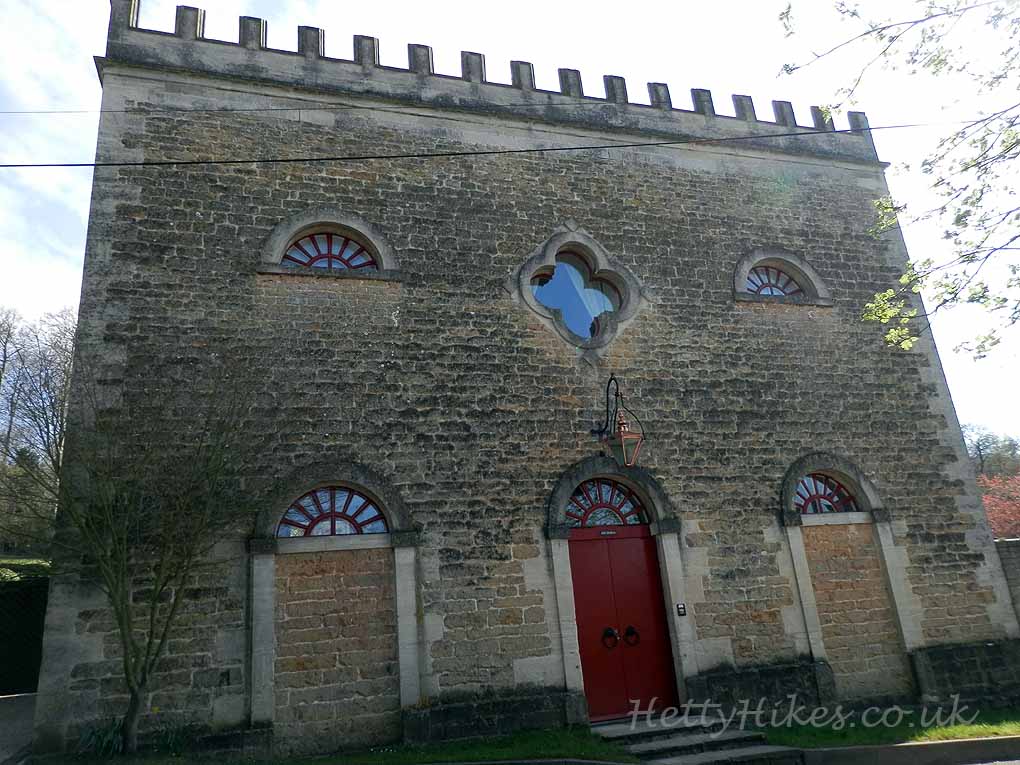
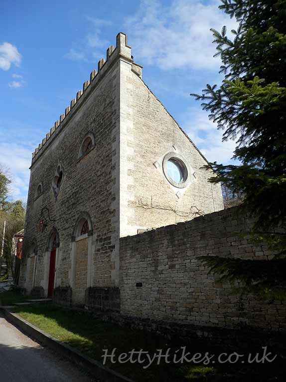
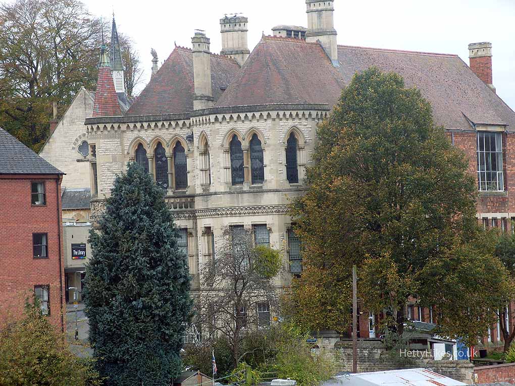
School of Science & Art
Nearby :