Tenerife Photos by Hetty
4th March 2018 Map of walk
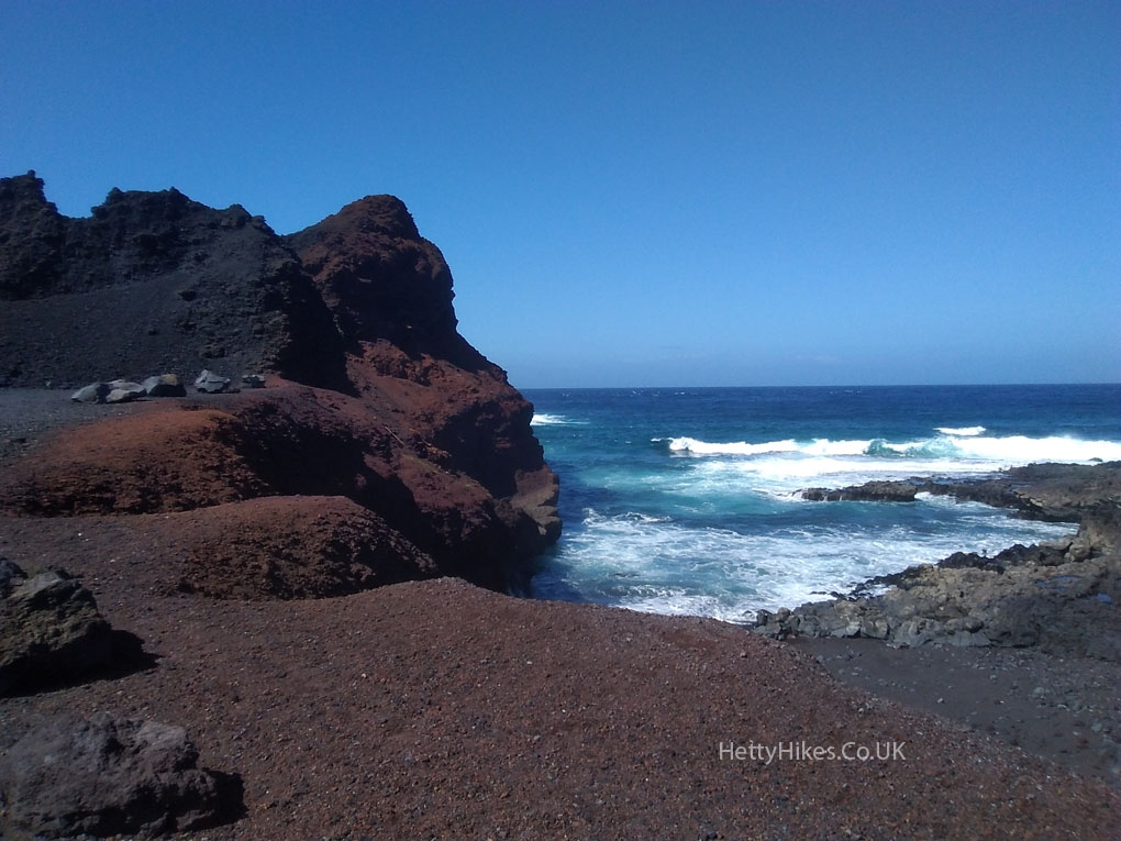
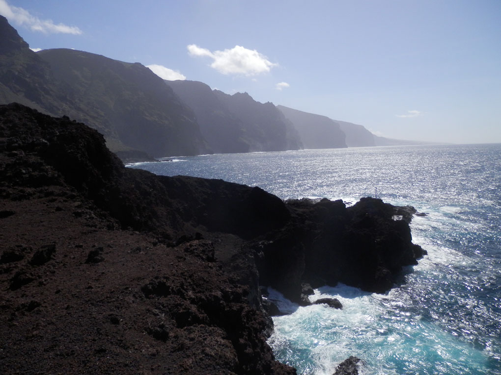
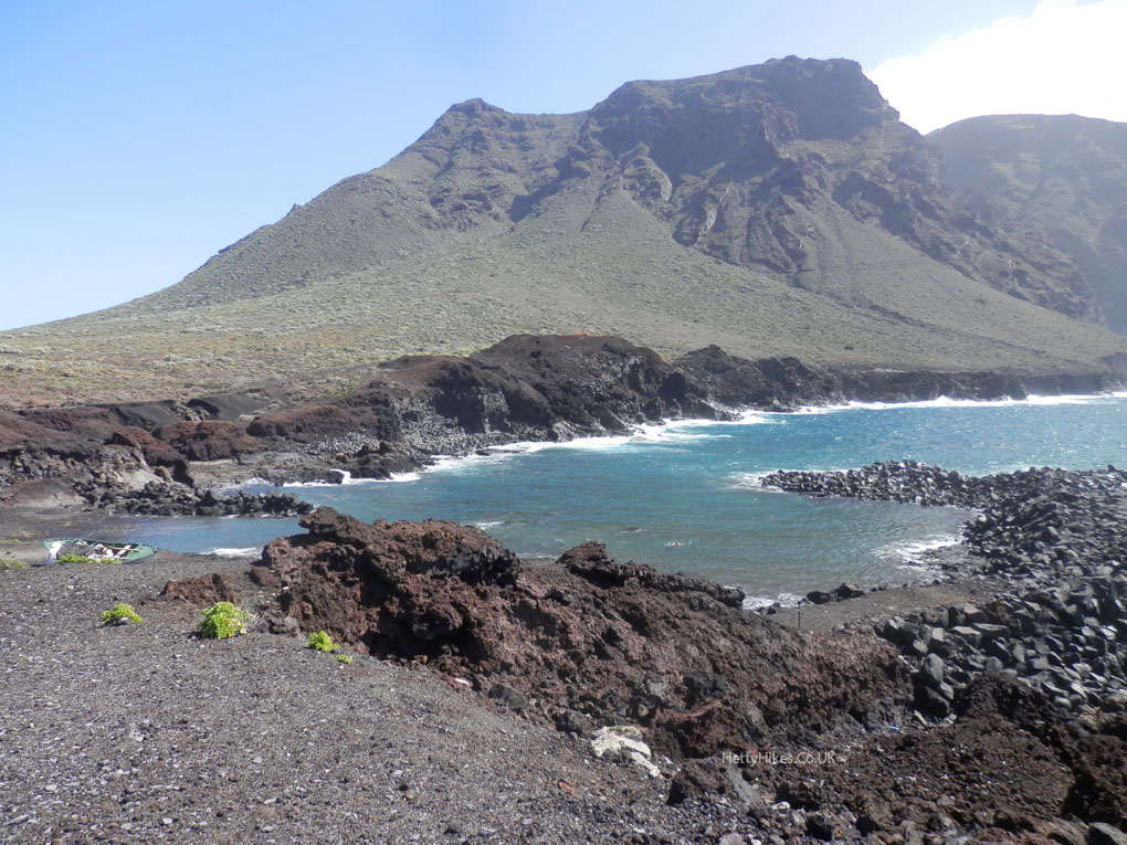
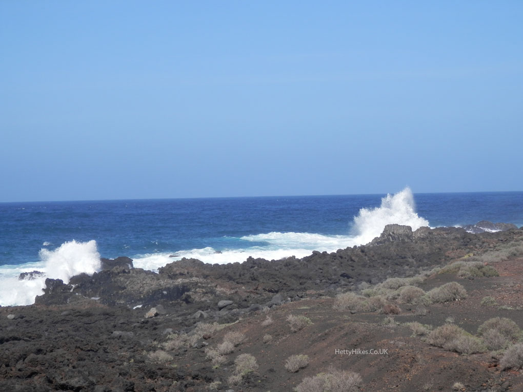
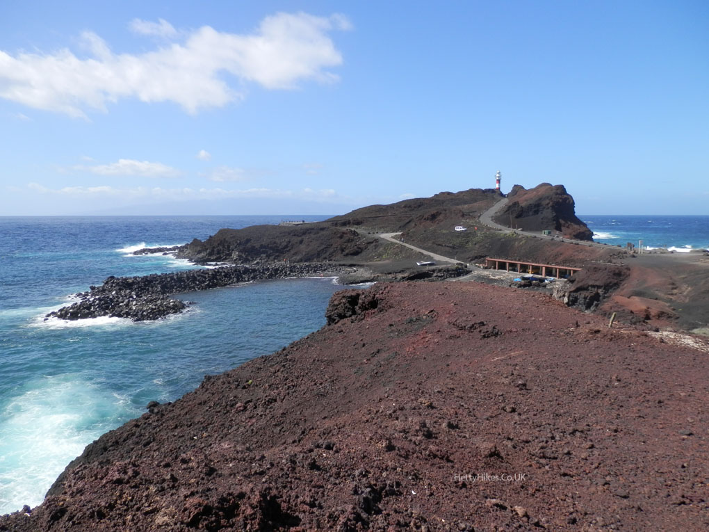
We went by bus to Buenavista, then took another to Punta de Teno, a protected area with restricted access. This coastal platform was created by lava, where there used to be sea. Here the lava does not yet have any plants growing.
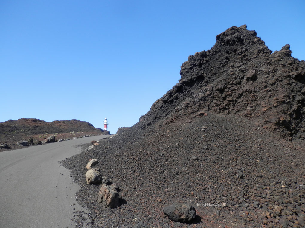
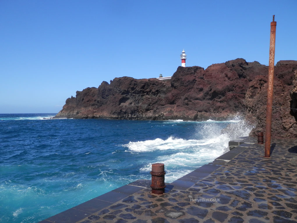
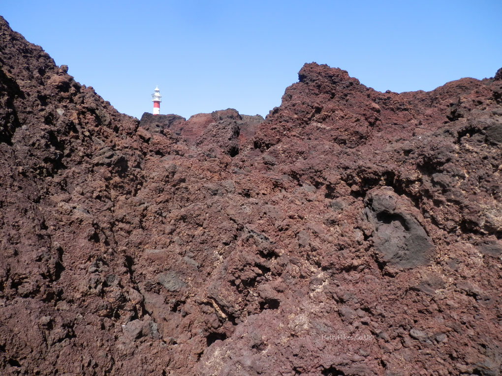
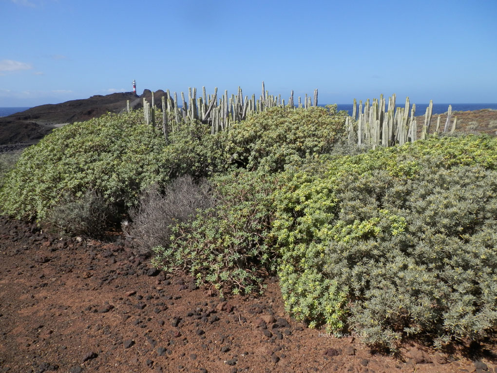
The new lighthouse 1976
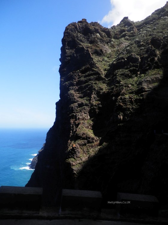
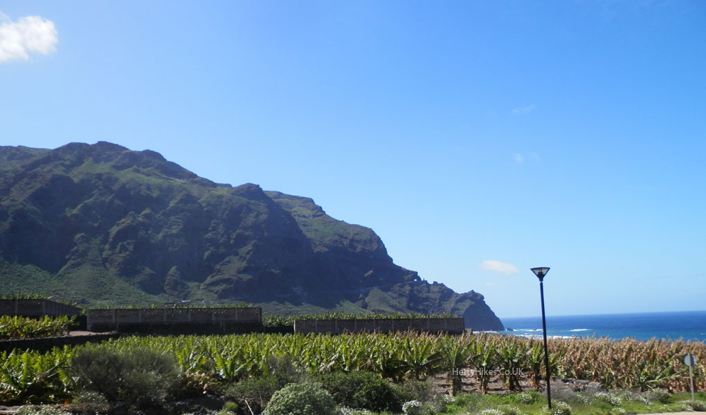
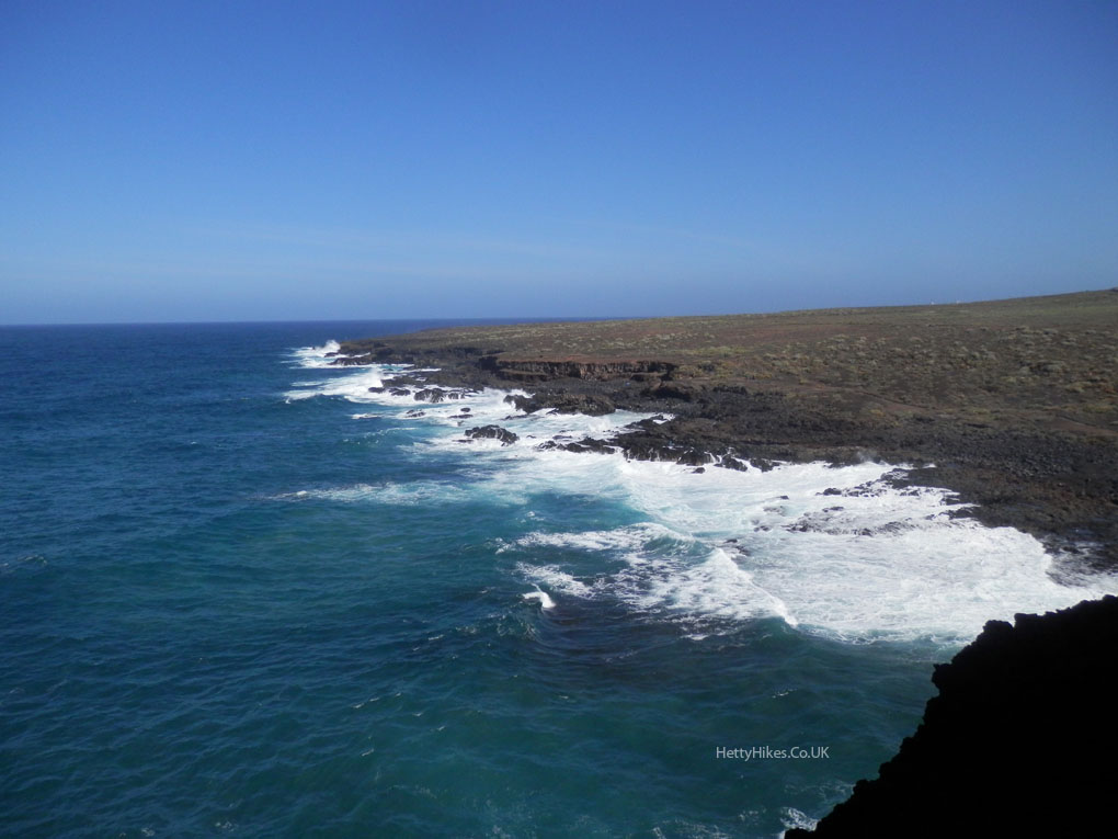 The 600m cliffs are Los Acantillados de Los Gigantes, and we will visit the other end when we are in the south of Tenerife
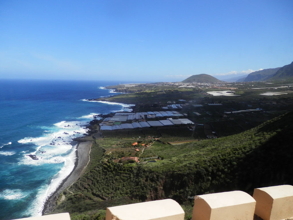
Views from the bus
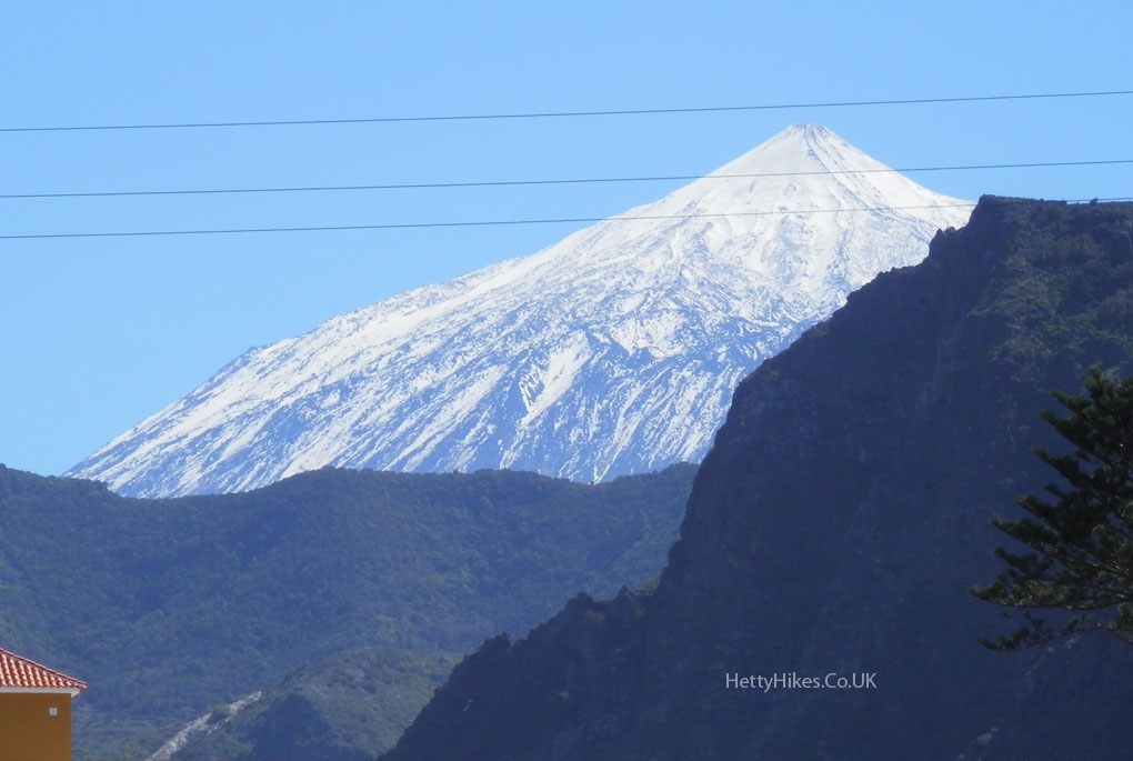
From the bus station back in Buenavista, we could see Mount Teide
Map of walk around Buena Vista 5.4 miles 3.5h
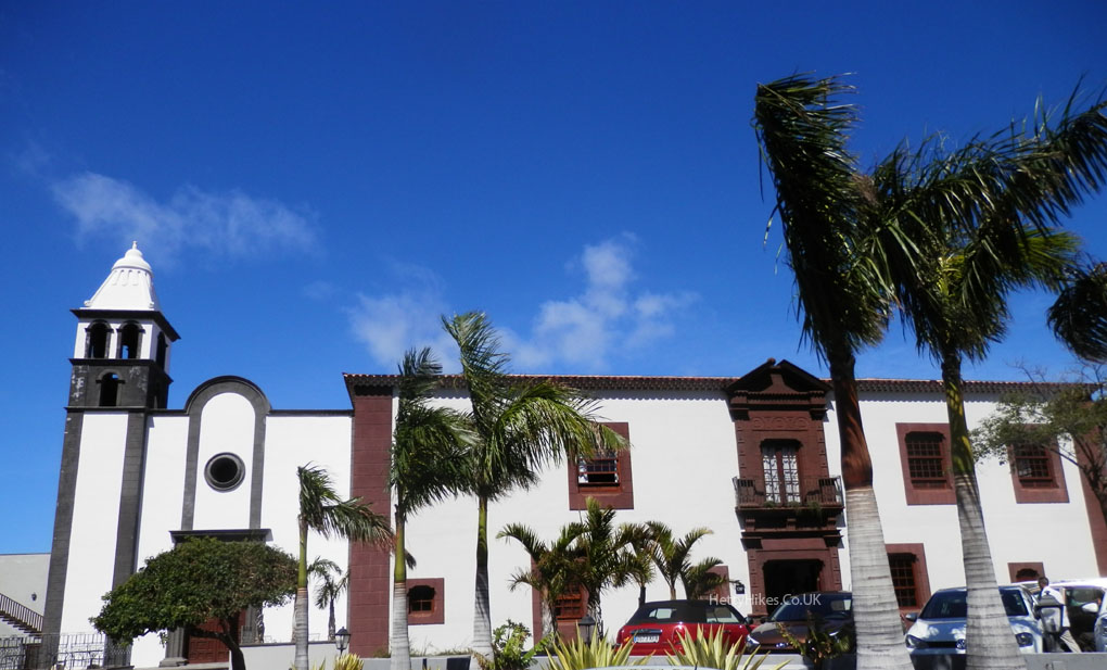
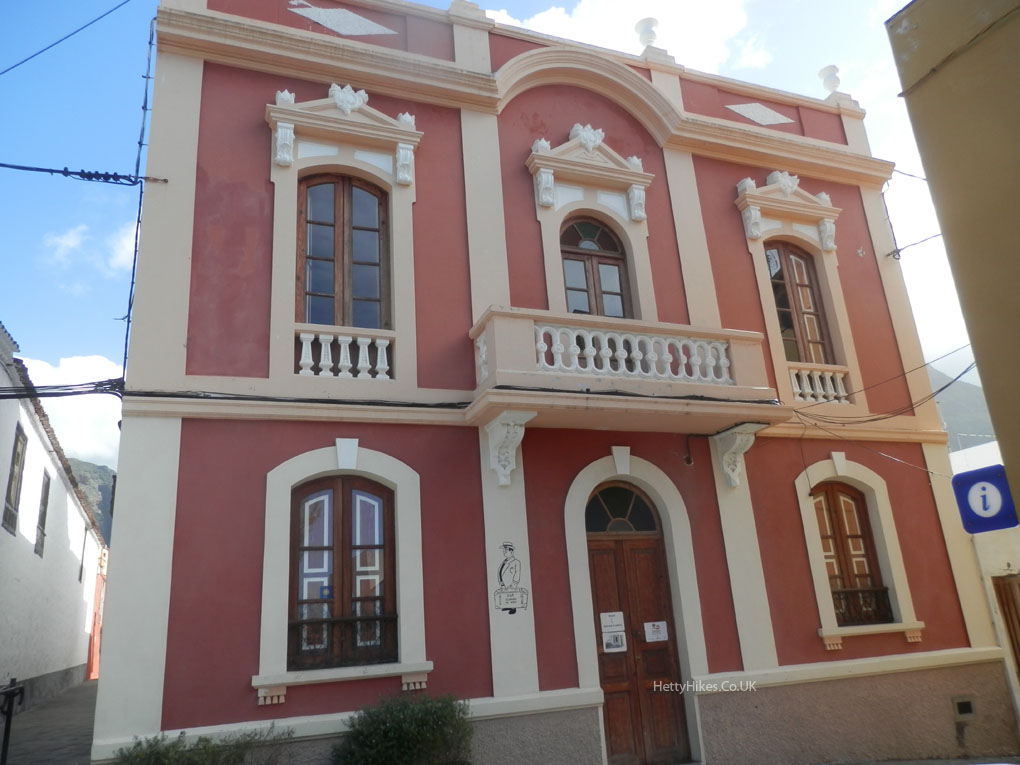
Buenavista del Norte was begun in 1513 by the Spanish
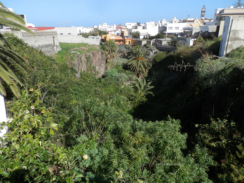
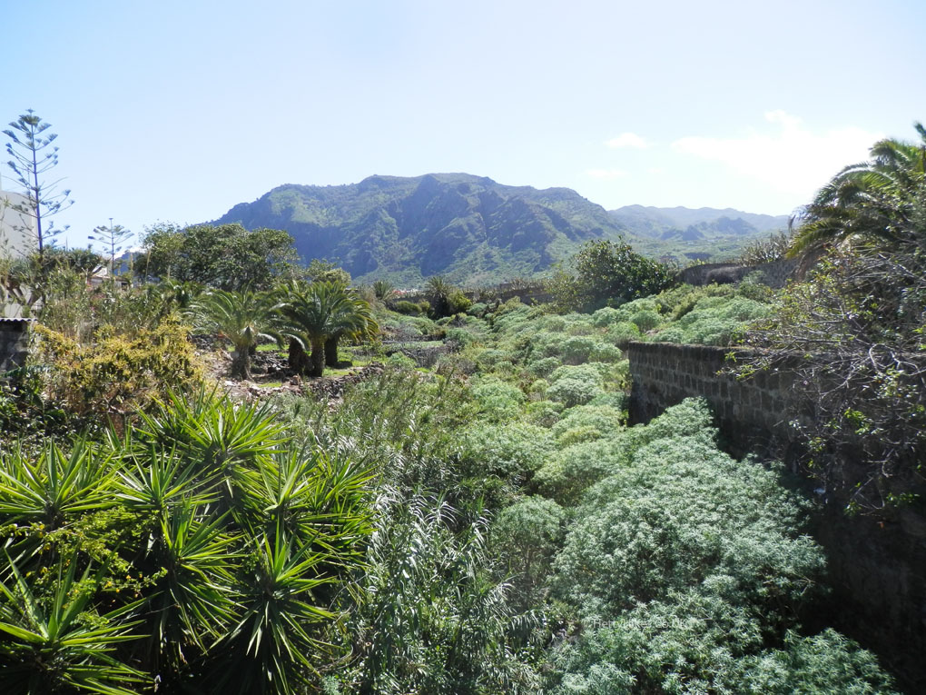
A ravine in the town
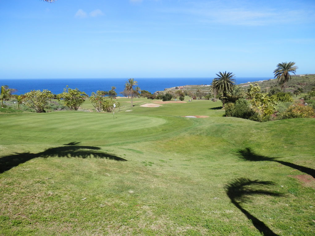
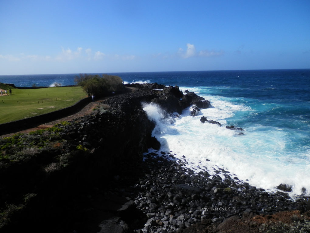
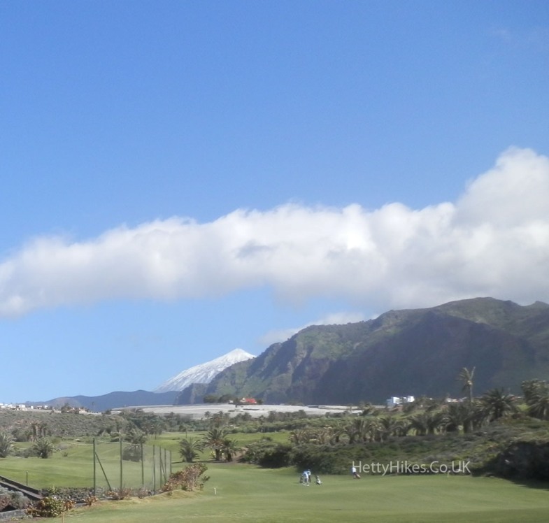
Walking passed the golf course (the only grass we saw on the island was at golf courses)
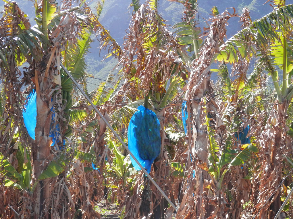
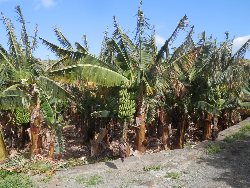
There are banana plantations every where
Blue bags around the bananas
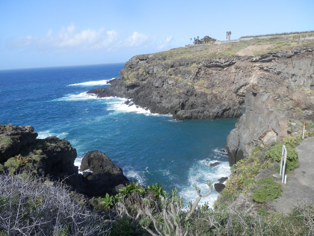
Playa de las Arenas, and the Nun’s Lookout, over the Monk’s Beach
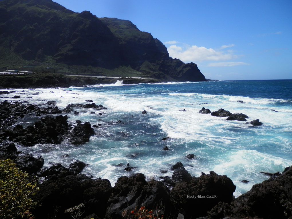
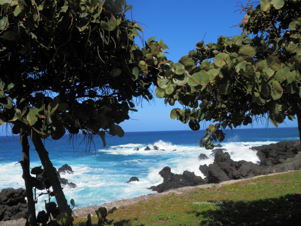
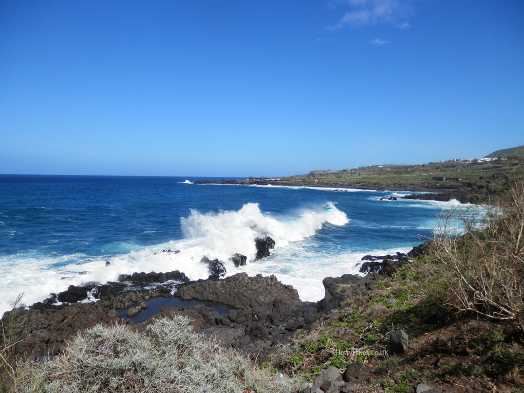
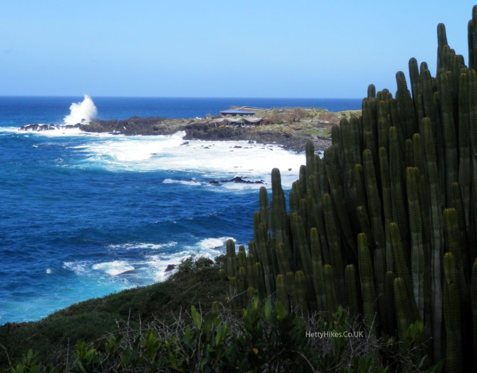
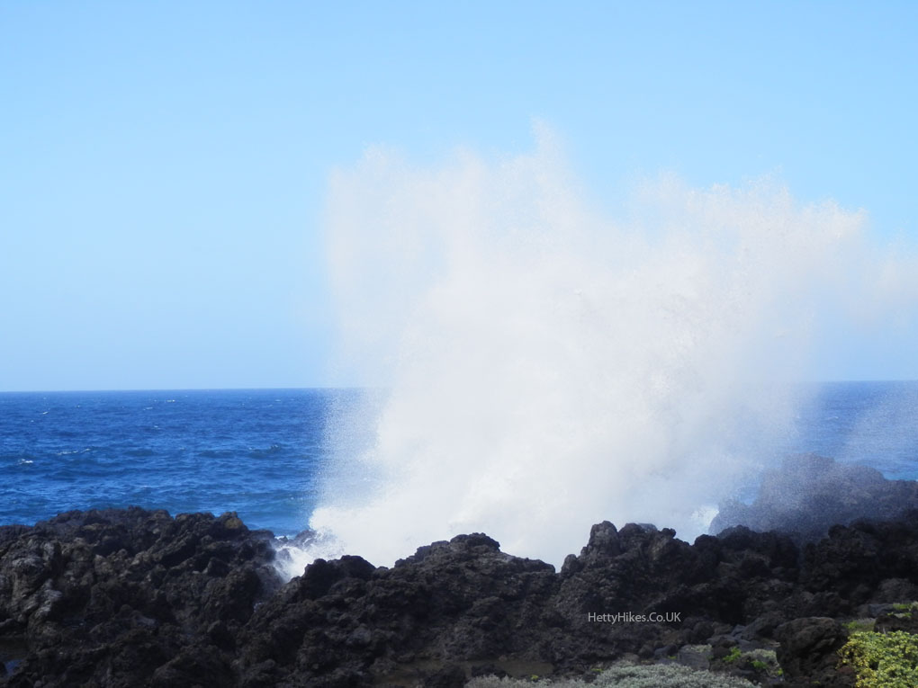
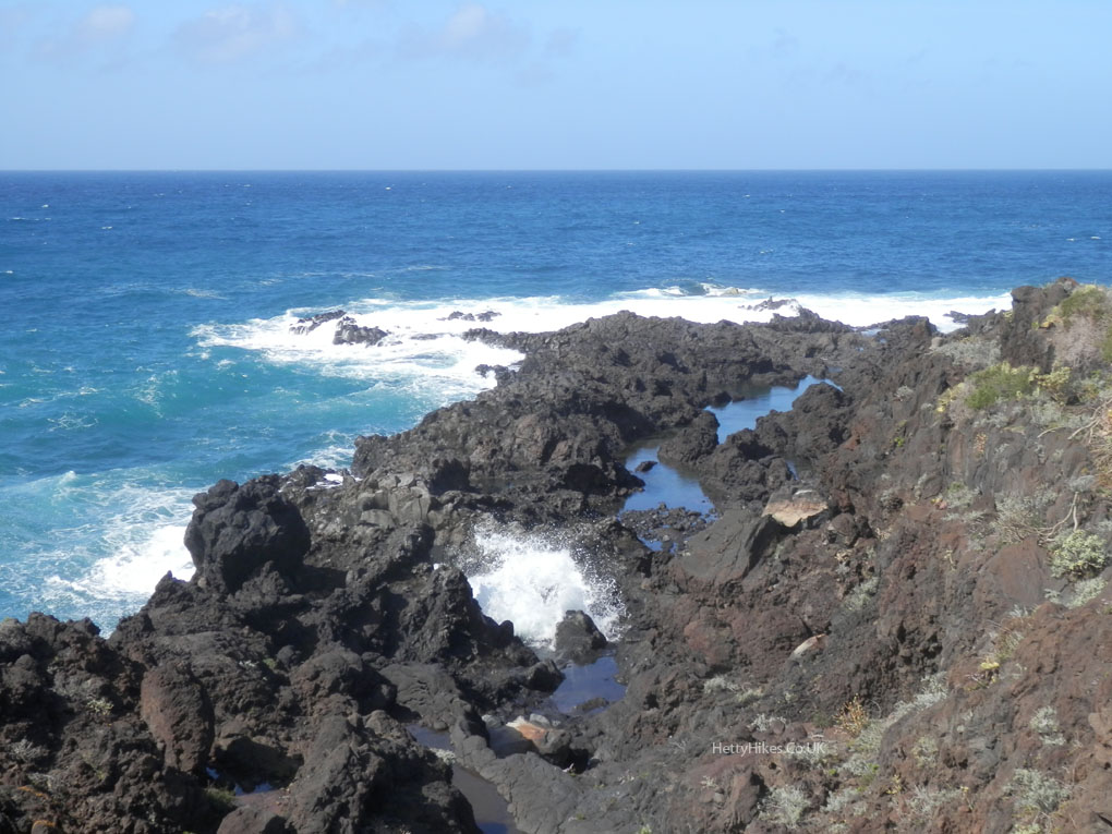
It was still very windy, so it was fascinating to watch the sea crashing on the rocks; which seemed such a contrast to the blue sky
Rock pools
Mount Tiede with its snow, behind
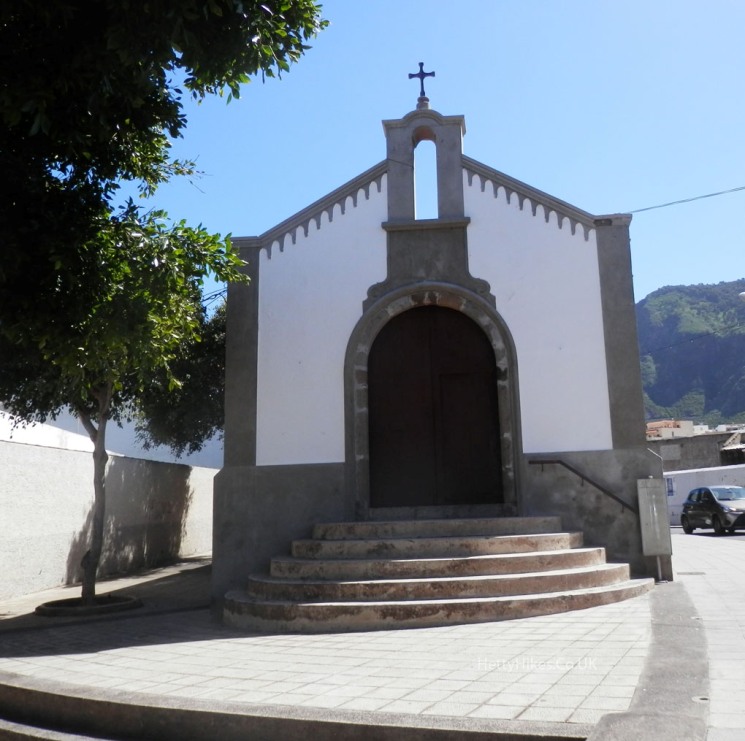
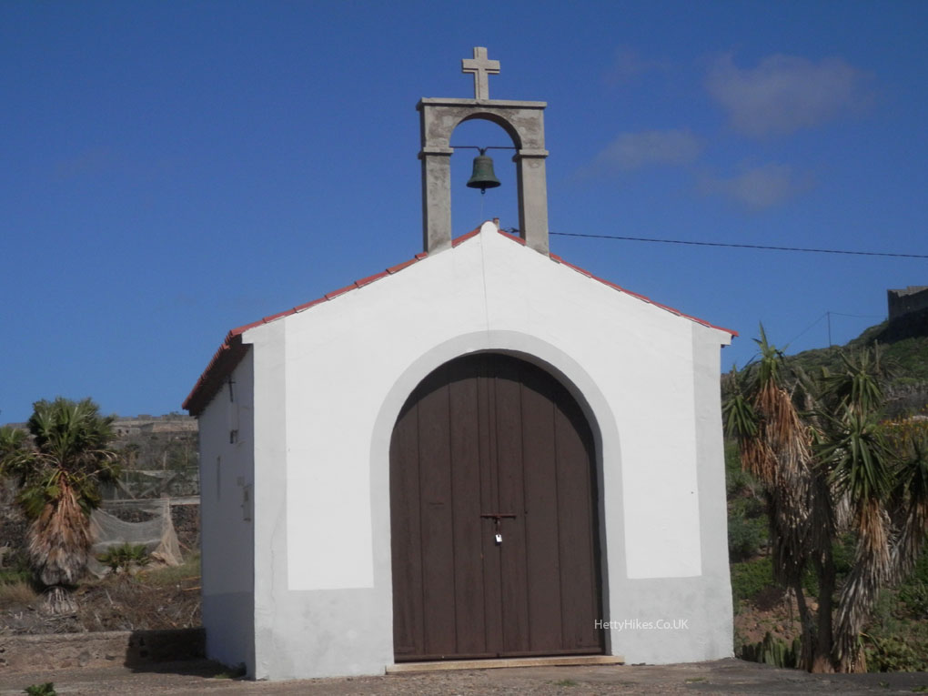
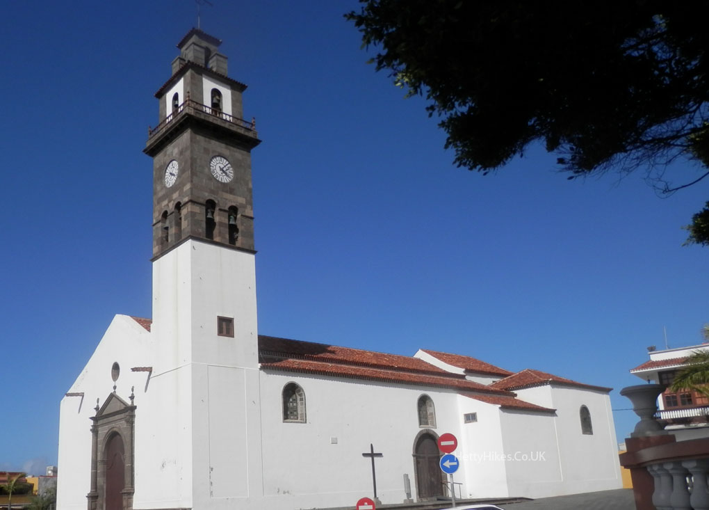
We saw several small chapels
More bananas
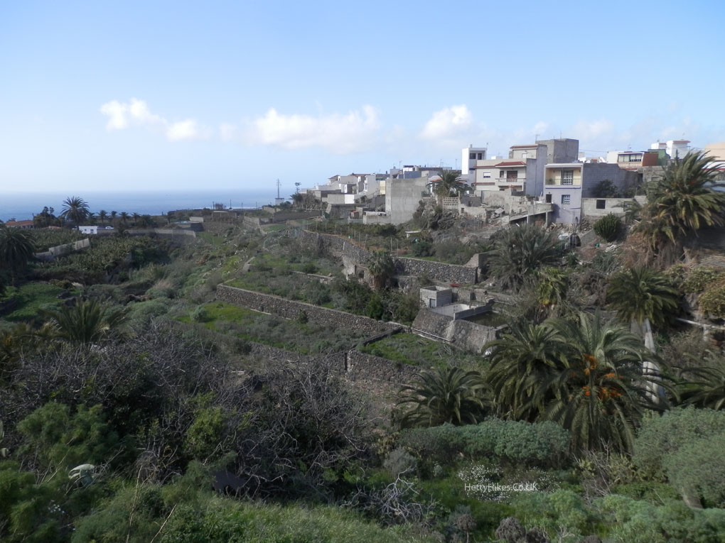
Walking back to Buenavista
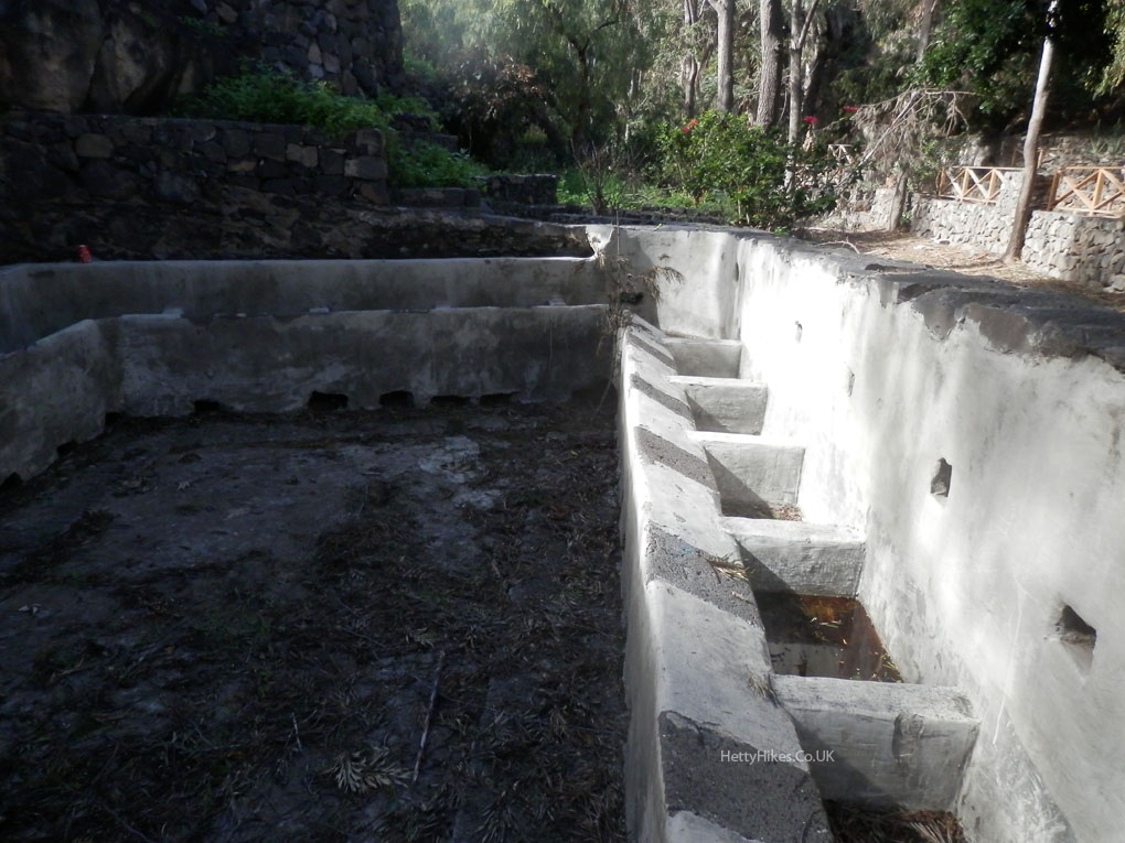
They once did washing here, in the ravine
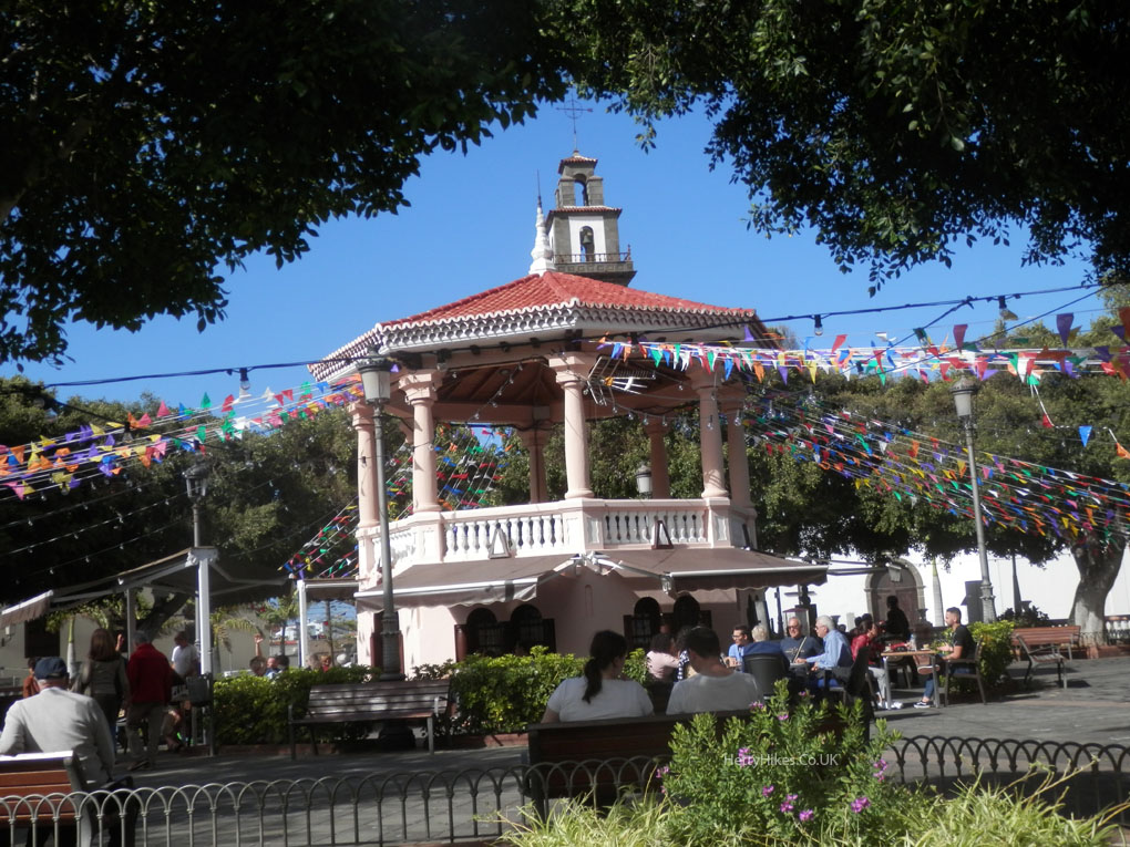
A bandstand with a bar underneath
 Next – Garachico