Val Gardena, Dolomites, Italy map of Val Gardena Start of Val Gardena holiday
18th June 2014, day 13 All photos by Hetty
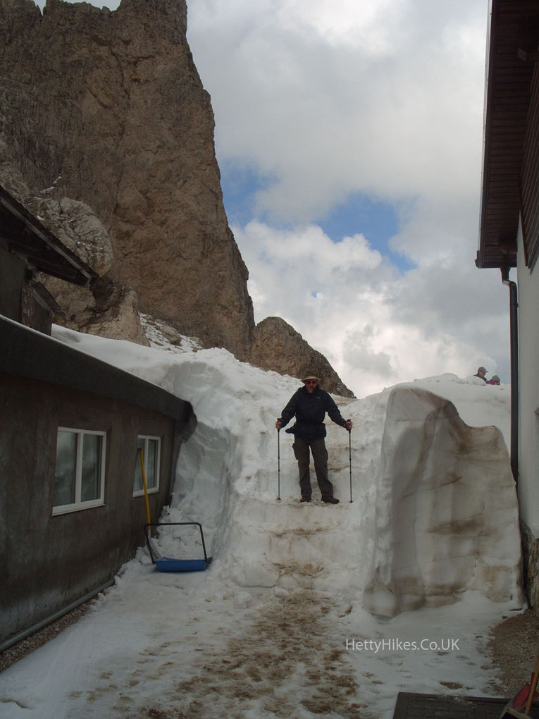
We took a bus to the head of the Val Gardena valley and around to Rifugio Passo Sella at the mountain pass, 2180m. There we took the cable car to the arrow at Forcella Sassolungo, 2685m =8809 feet. The cable cars are like white telephone boxes – two men throw you in, you stand two per car – never been in ones like these before!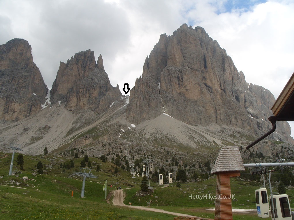
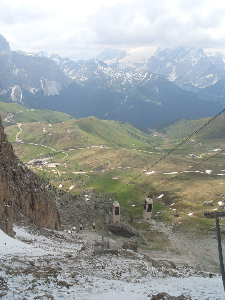
Looking down
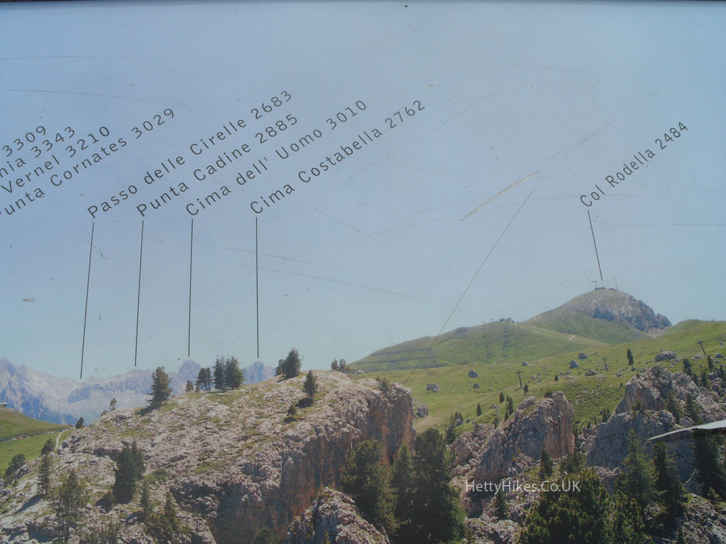
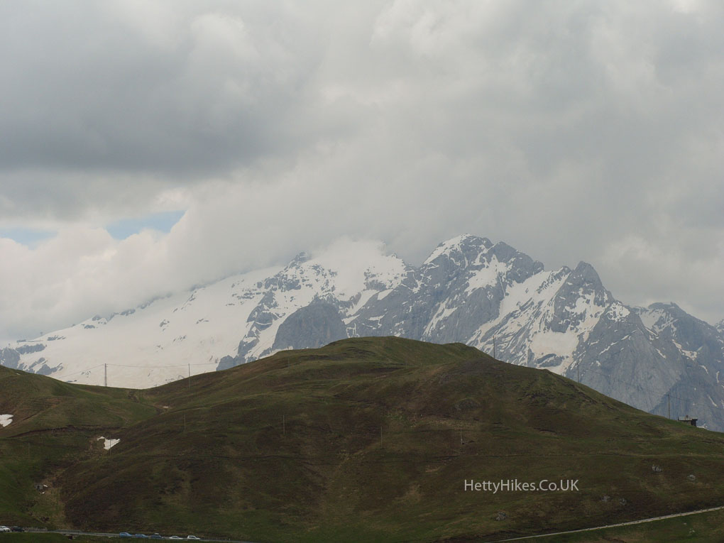
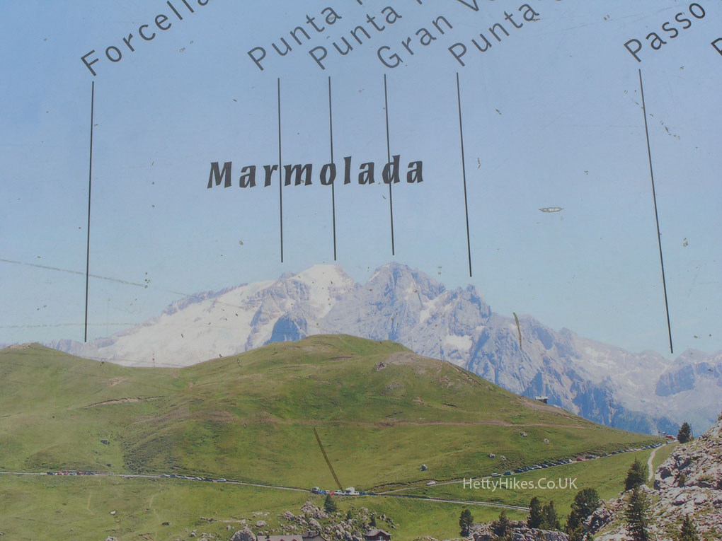
Marmolada and Punta Penia, 3344m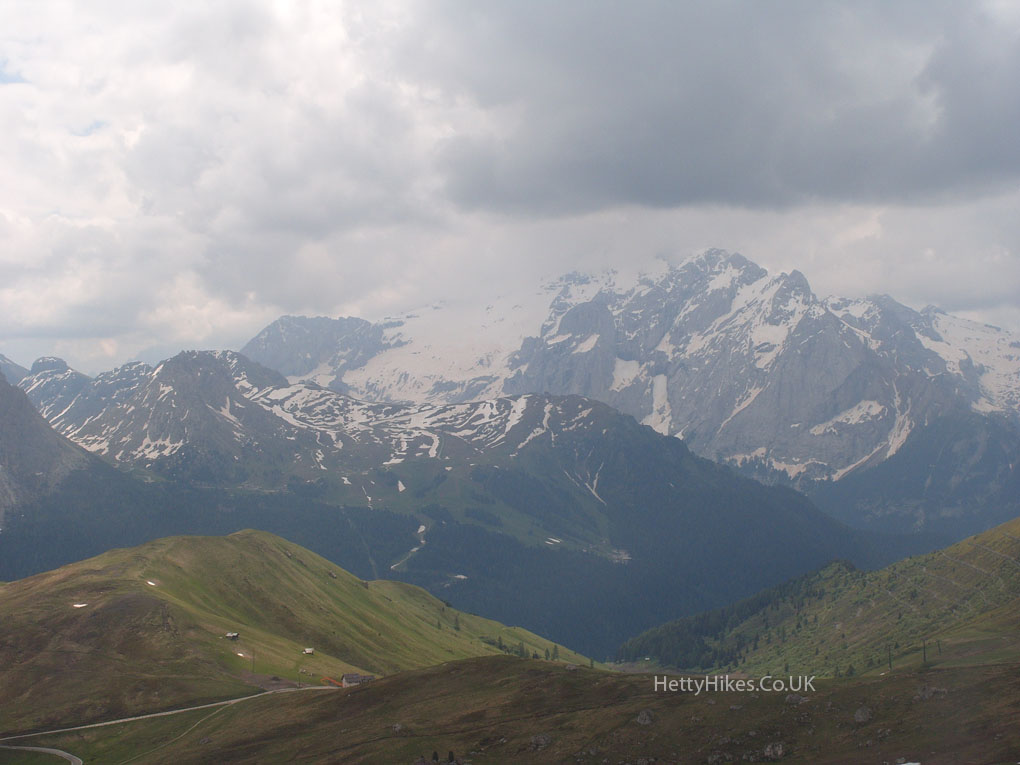
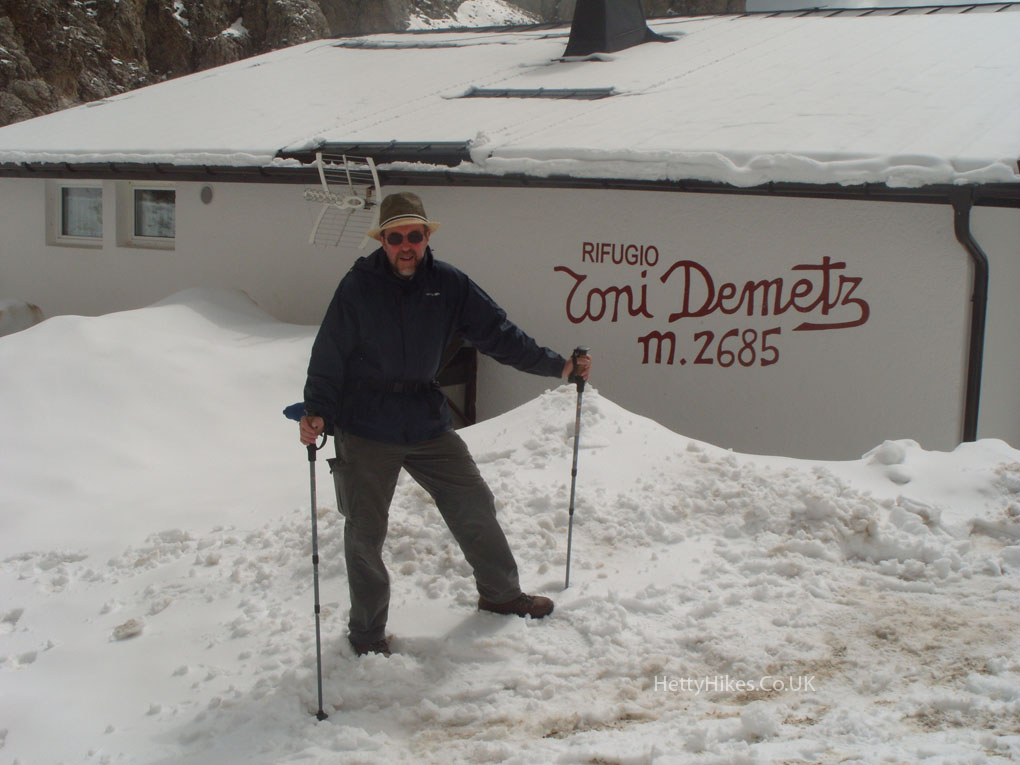
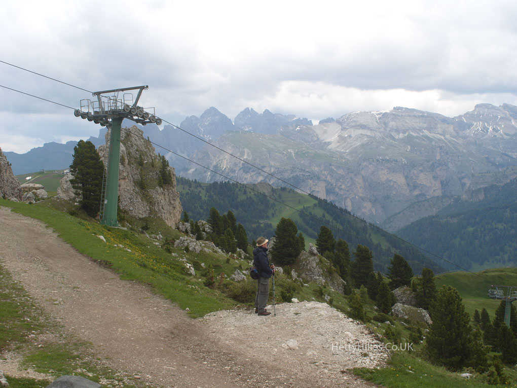
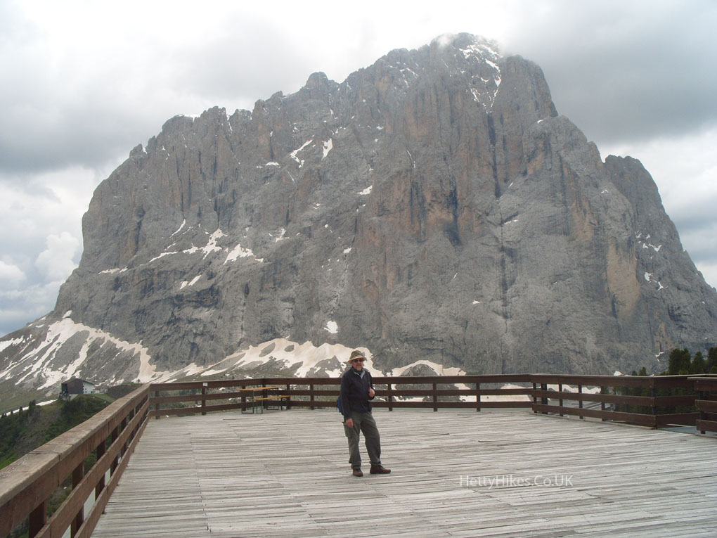
Mr H at the hut at the cable car station, 8809ft
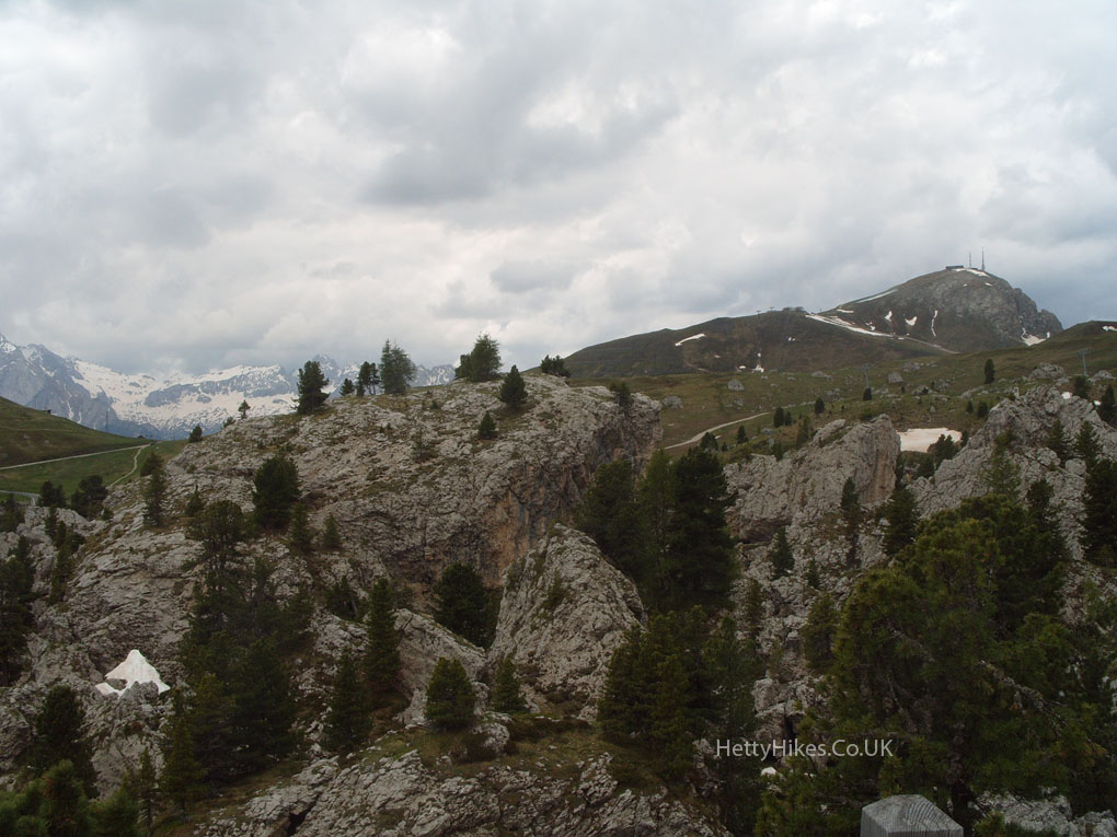
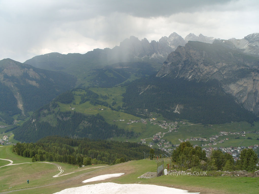
Looking east, we couldn’t go much further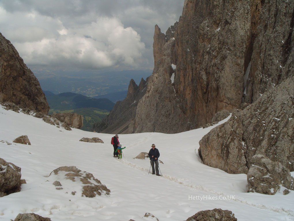
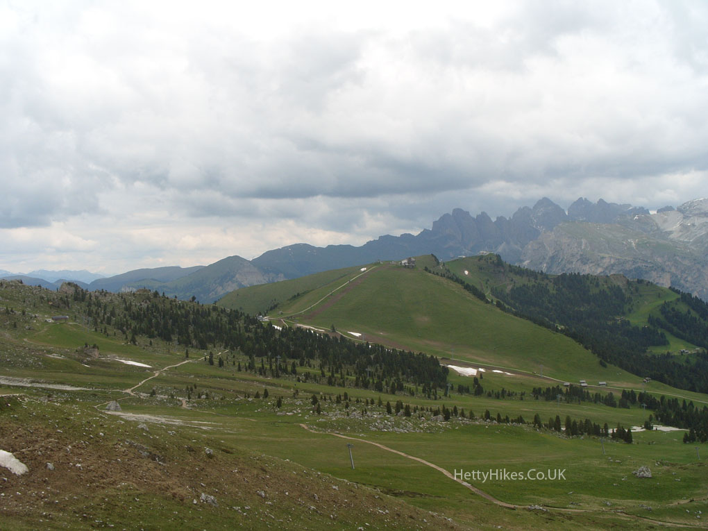
Looking down on Alpe di Suisi, where we walked yesterday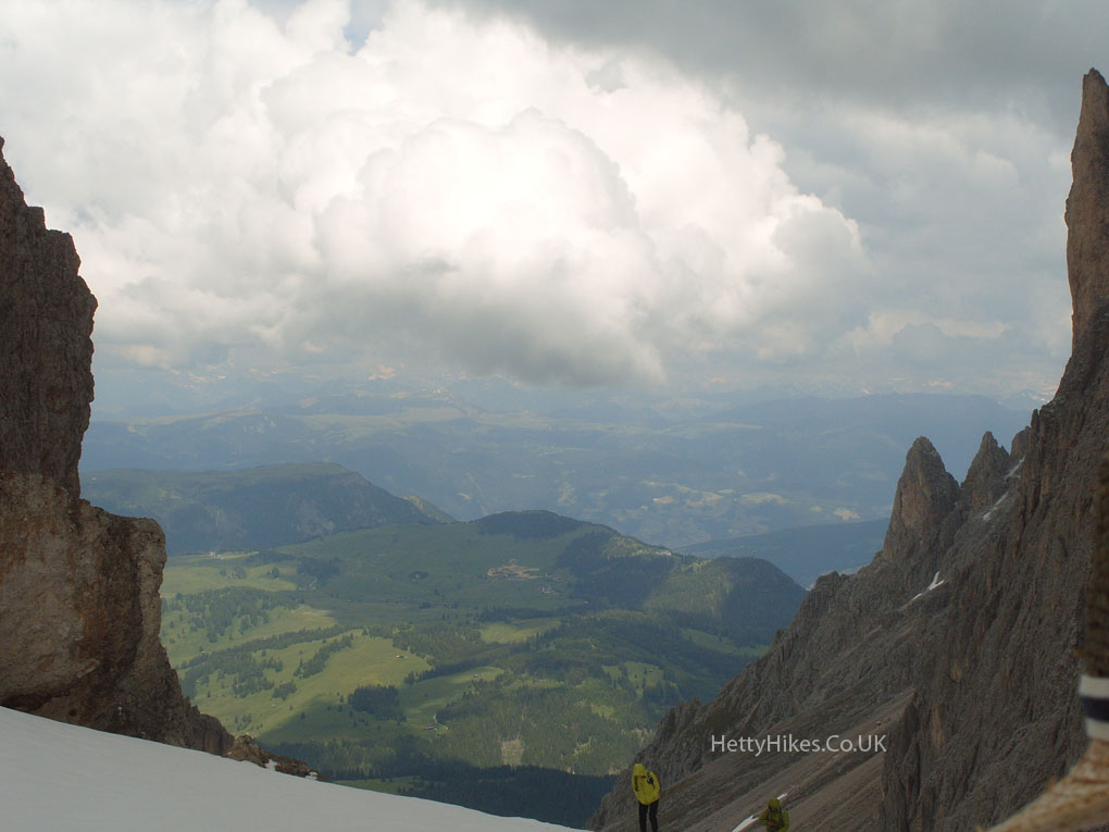
View from the cable car of ‘The City of Stones’, where we are going to walk next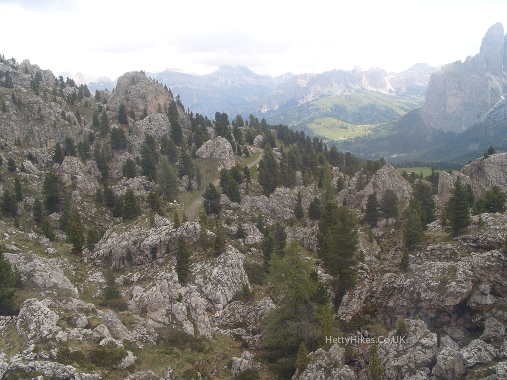
Map of walk Distance 3.4 miles, about 3 hours
Rifugio Passo Sella, 2222m, via Comici hut 2153m, then up to Ciampinol 2254m
There are lots of cyclists, high up here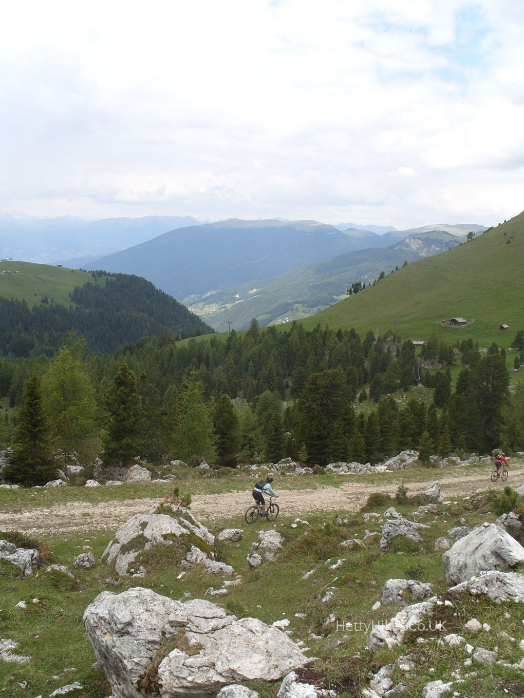 We have to walk up the zig-zag – better take our coats off first
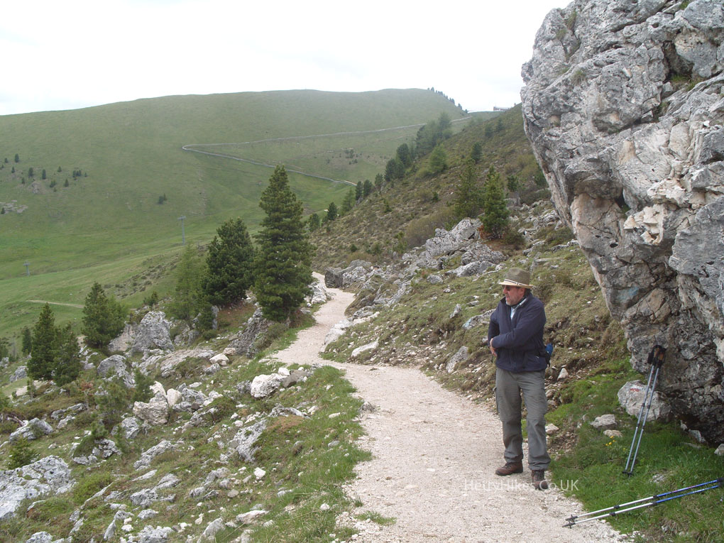
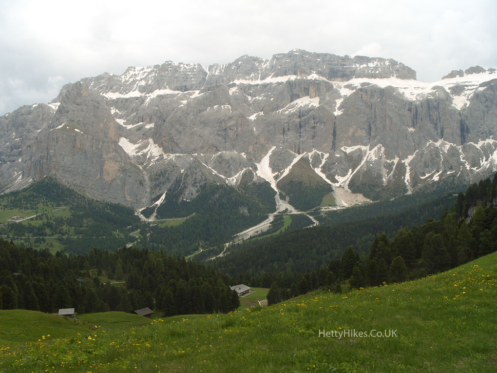
Yesterday we walked across the Alpe di Suisi from A to B, and back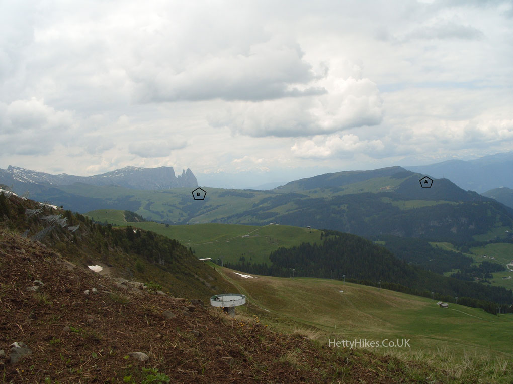
St Ulrich and St Christina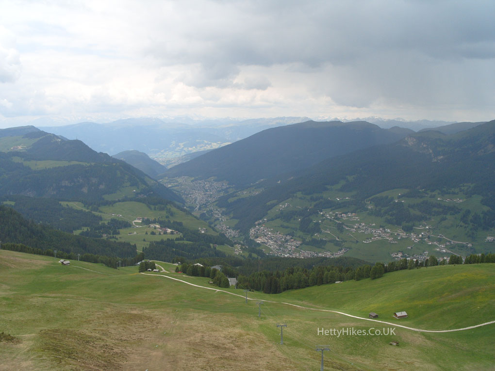
We made it to the Ciampinol cable car station
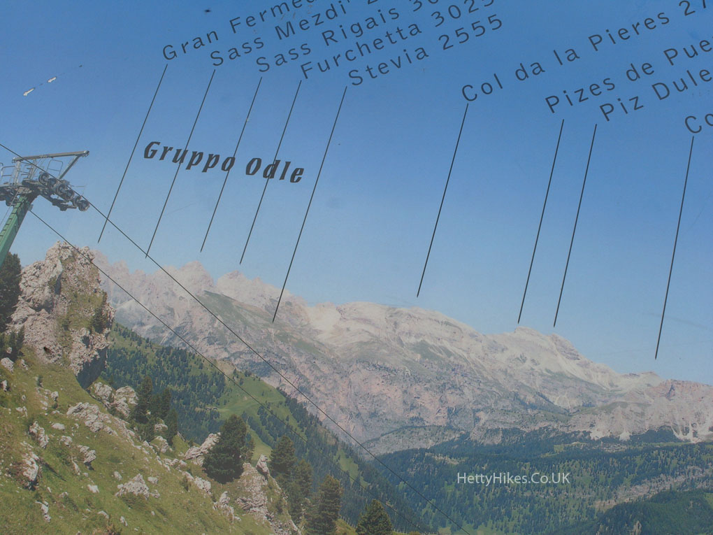
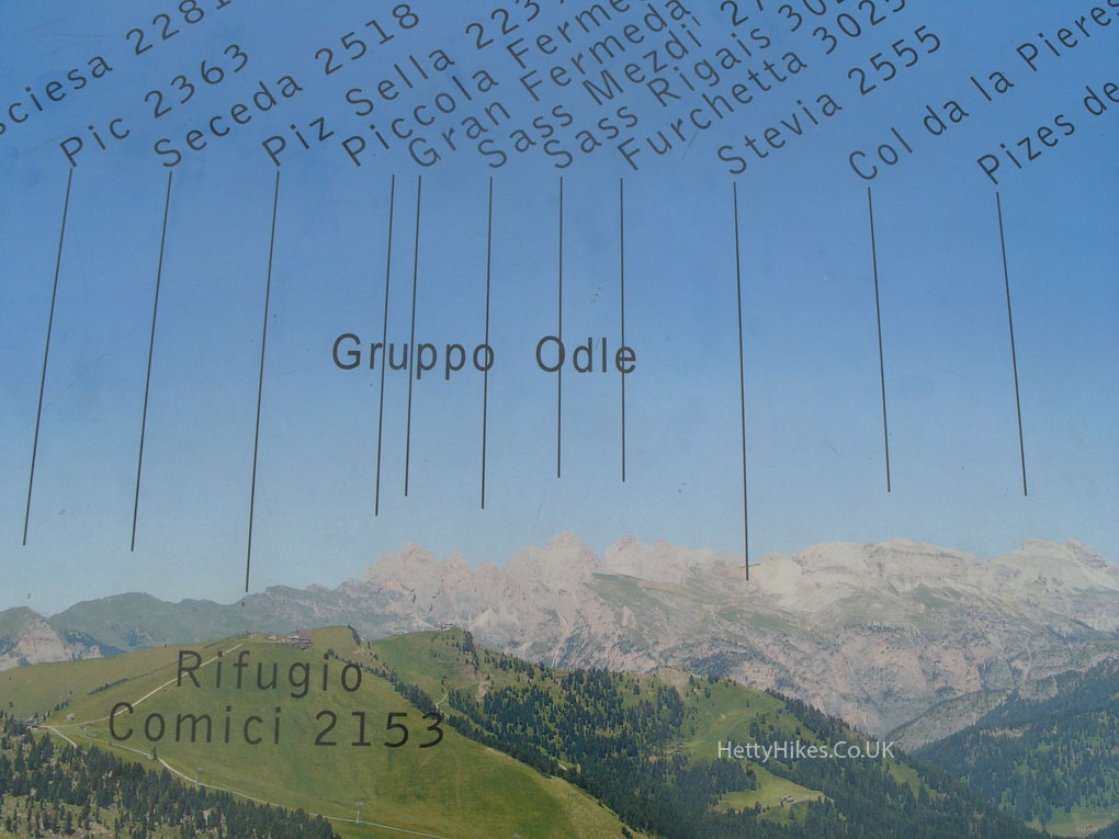
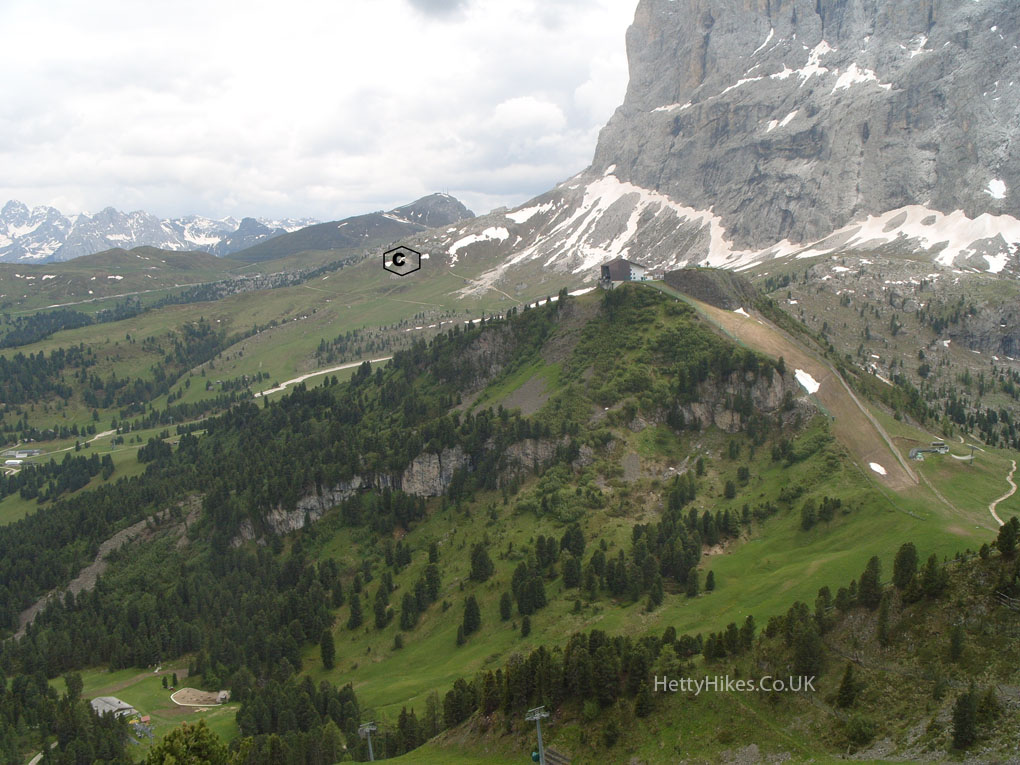
Looking back to C = The City of Stones
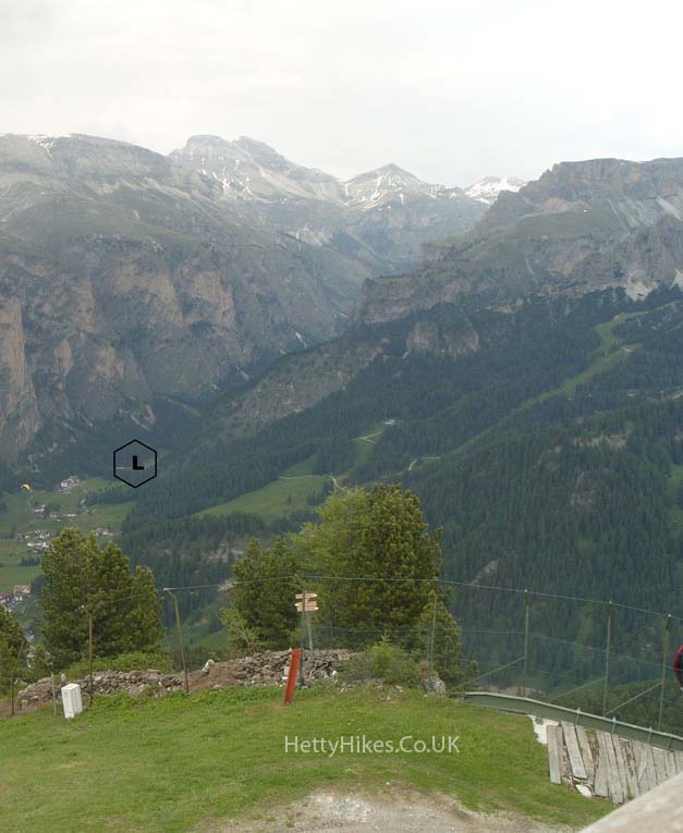
Selva di Gardena down below. L marks the Vallunga valley where we will walk another day
We liked these stools in Ciampinol hut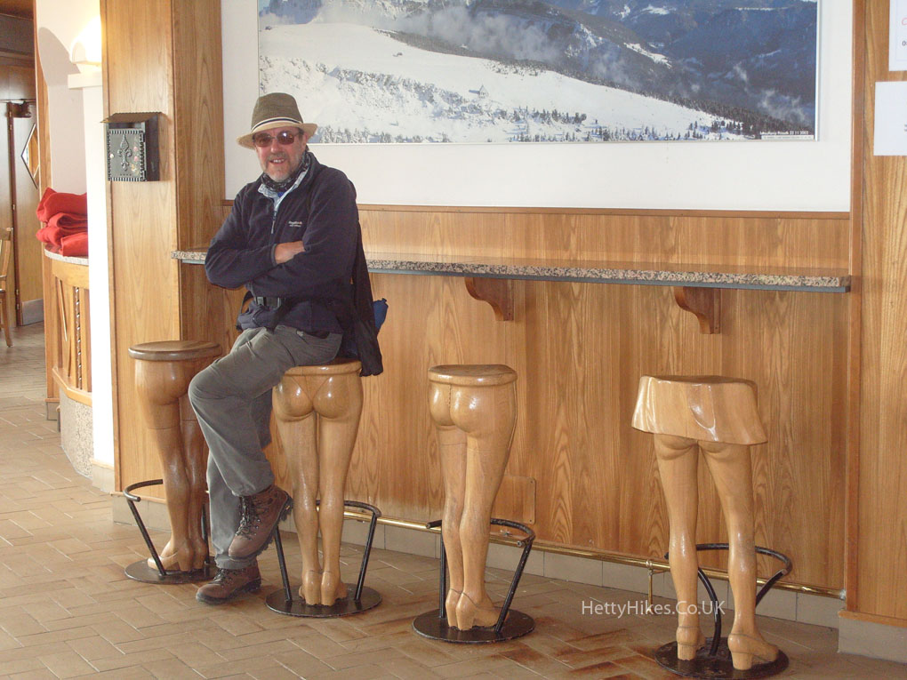
Then we took the cable car down to Selva and a bus back to St Ulrich