Gower Peninsula, Wales Photos by Hetty
Rhossili, Mewslade Bay & Worm’s Head
13th September 2020 Our first walk today 3.5 miles Map of walk
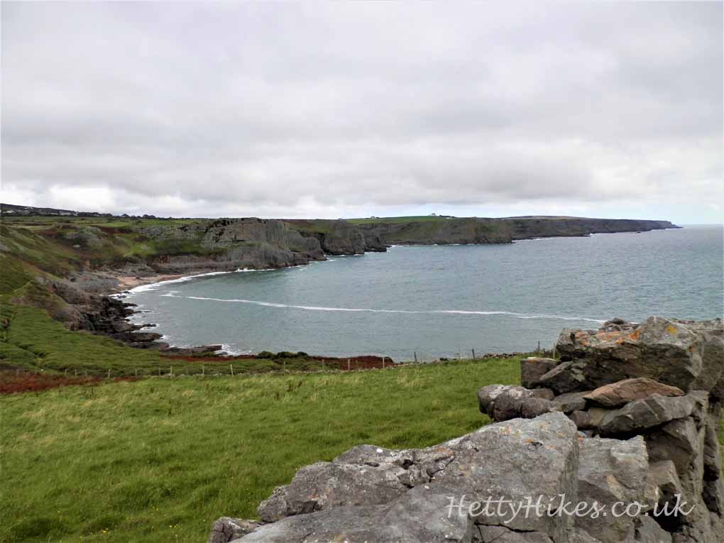
Across the headland and back around the coast path
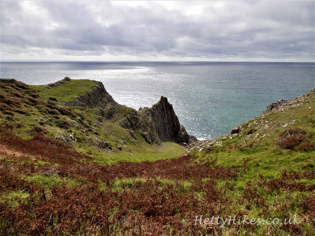
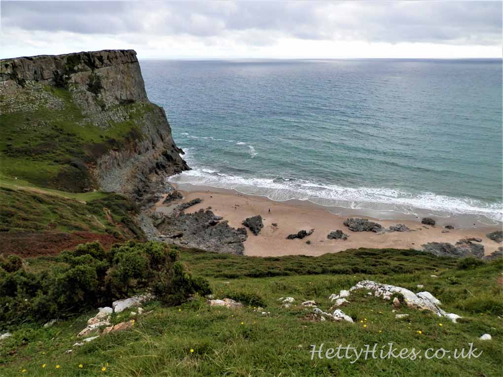
View back to Mewslade Bay
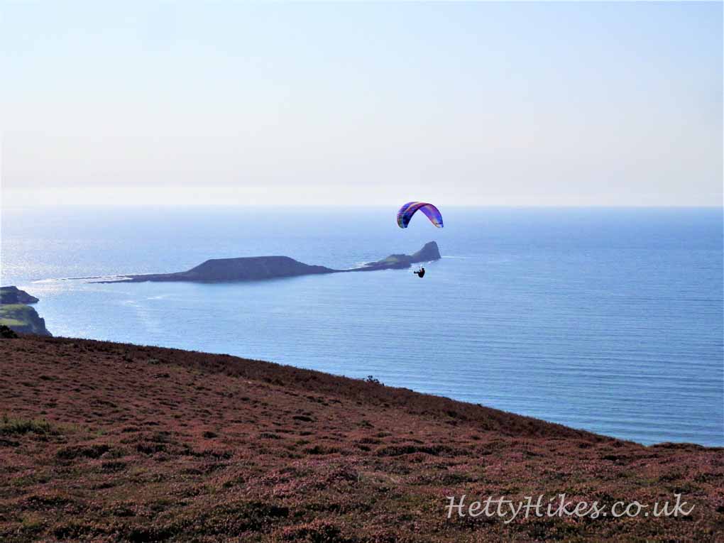
Worm’s Head is an island now, but at low tide you can walk out there (you need to know the tide times). 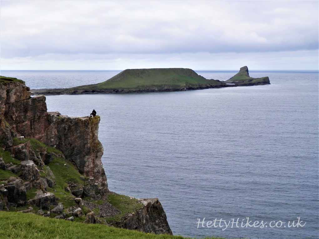
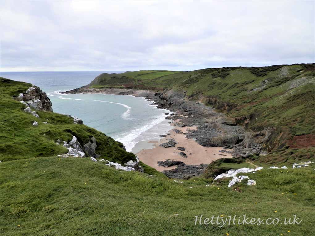
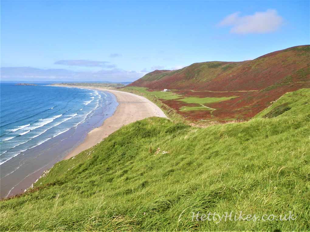
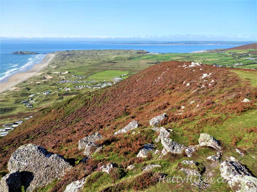
Rhossili Down & Beach
13th September 2020 Our second walk today 3.8 miles Map of walk
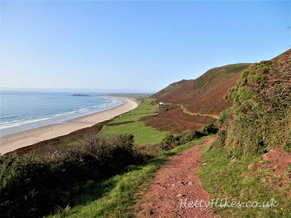
Rhossili Beach is 3 miles long, with Downs above the cliffs.There are about 90 steps to get down the cliffs to the beach.
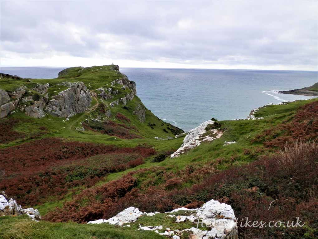
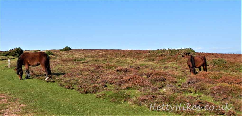
We climbed up the Downs and walked along to the end, down and back along the path above the cliffs. The ferns were now bracken and the heather was starting to flower
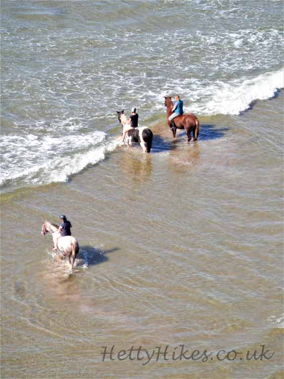
Looking down to the beach we saw sea-horses
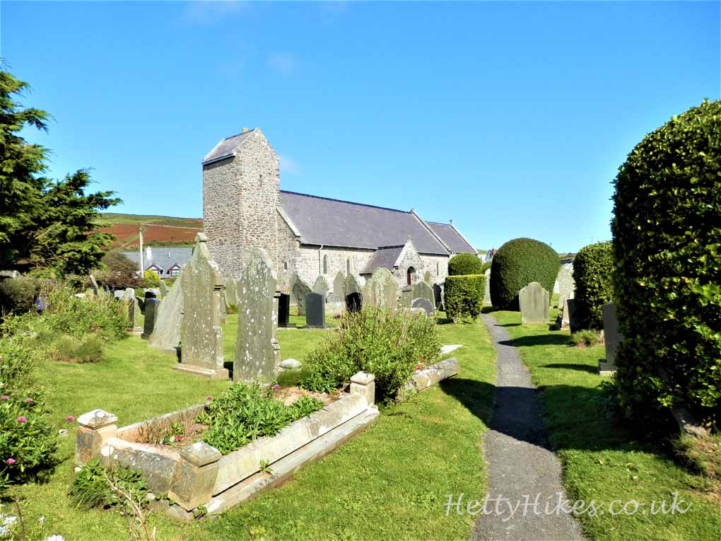
Rhossili Church, built in the late 12th century
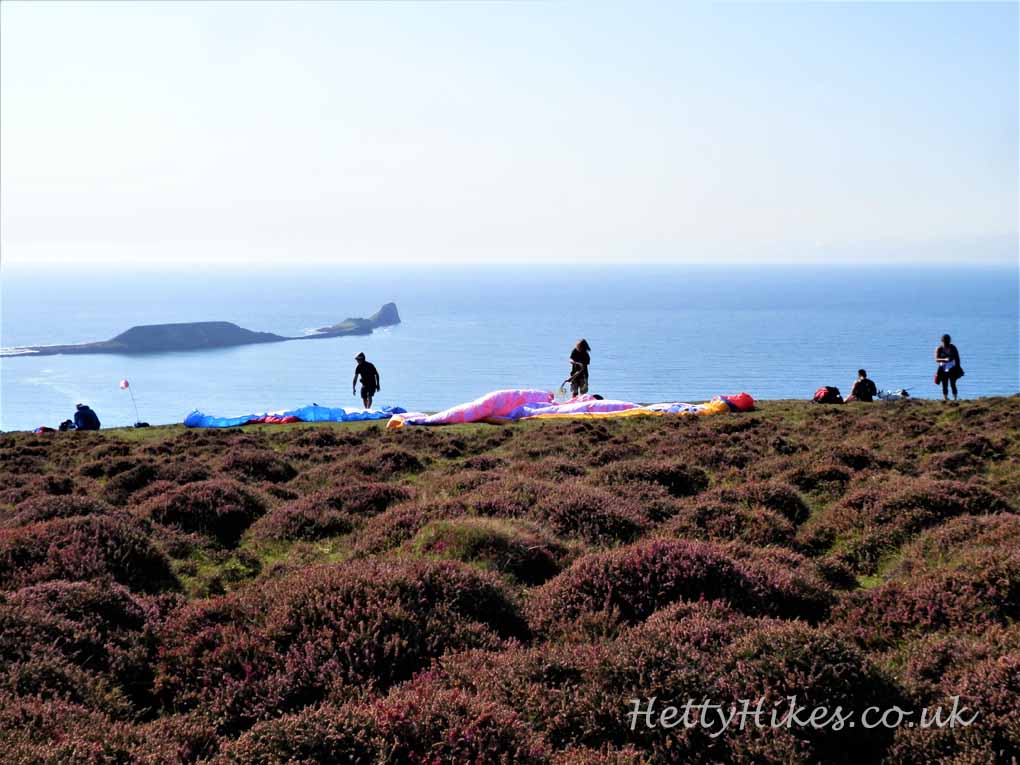
Up on the Downs are hang-gliders getting ready to take off
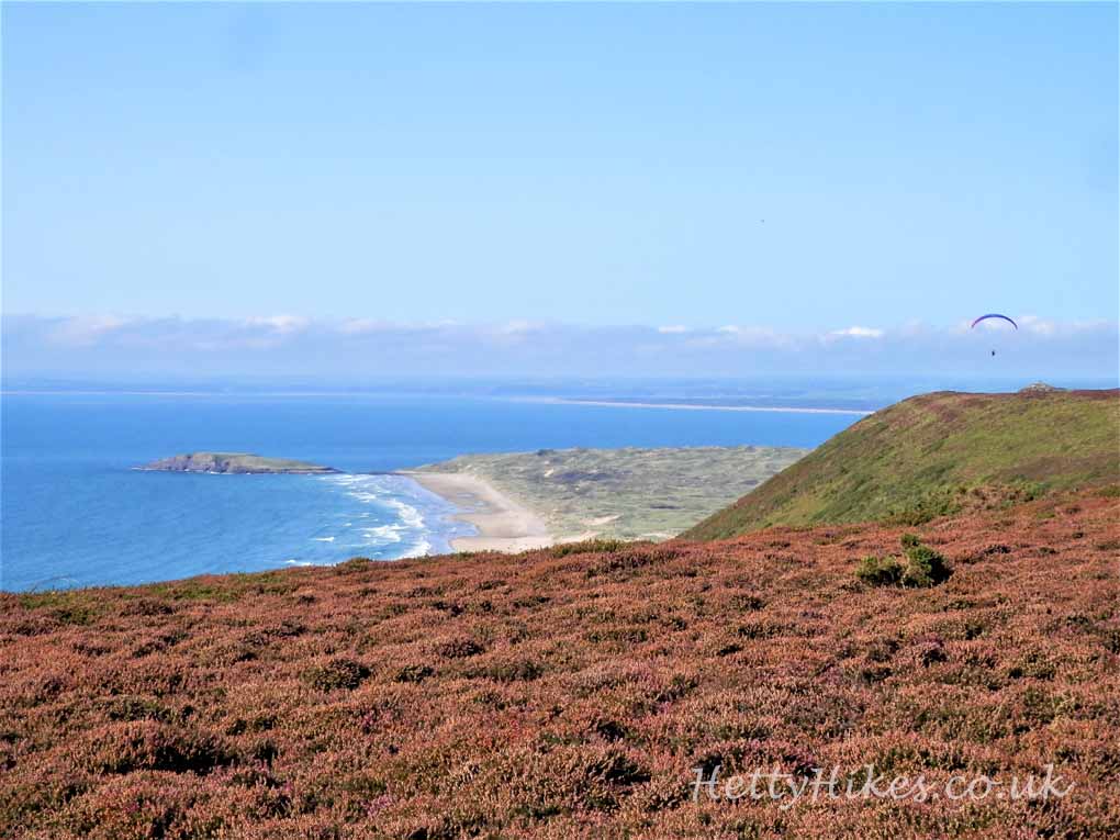
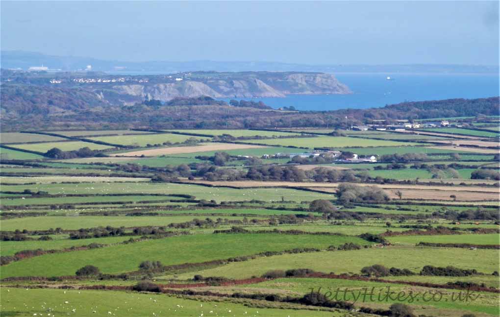
There is a panoramic view from the highest point on the Gower
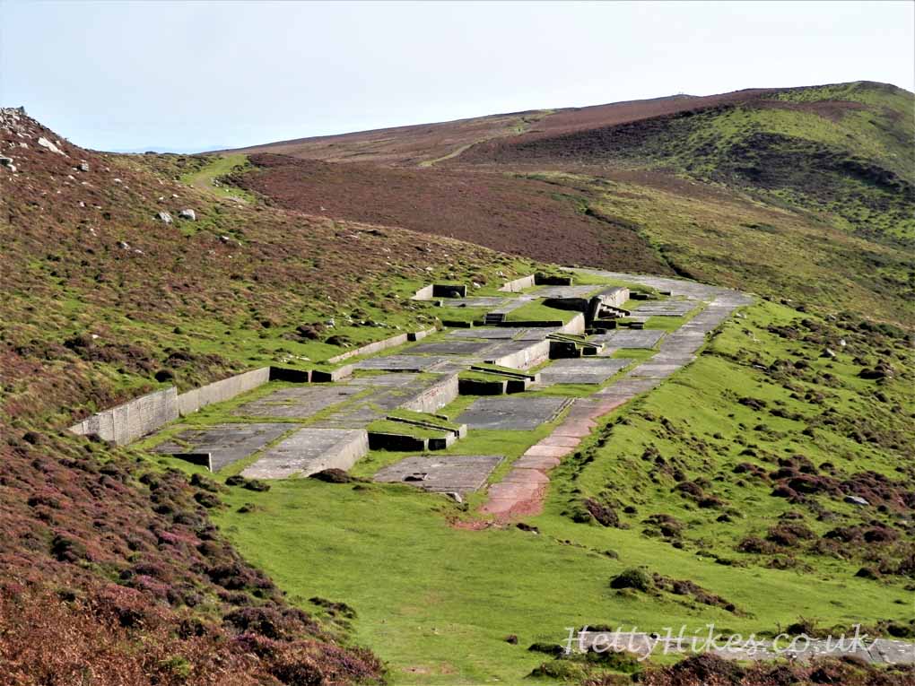
There was a WW2 radar station here
The end of the Downs, then a steep walk down hill to return above the cliffs
 Looking back
Next: Port Eynon